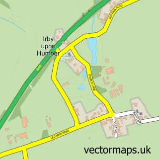
This Keelby street map is a detailed vector street map covering a 750m x 750m area. Select a larger area to create and download your own vector street map of Keelby.
The 750-metre map sample for Keelby covers 506 mapped buildings and approximately 12.9 km of road detail, of which 36 named roads are named. The immediate area includes 1 school and 3 pubs. The wider area around Keelby features 1 tourism point of interest, 3 food and drink venues and 1 campsite within 2 miles. To create a larger or custom map of Keelby, the map builder lets you define your own coverage area and download editable SVG, PDF and PNG files.
Create a larger editable map of Keelby
Choose any area you need and generate a high-quality vector map instantly. Perfect for print, planning, design, business and personal use.

This Keelby street map in Lincolnshire is available as downloadable SVG, PDF and PNG map files, or as a printed map for planning, business, display, education, local information and design work. You can also create a larger custom map area using the map selector.
What this Keelby map sample shows
Keelby lies within Keelby Cp parish, part of Caistor And Yarborough ward in the West Lindsey District local authority area. The postcode geography for this area includes the DN postcode area, the DN41 postcode district and the DN41 8 postcode sector. Residents fall under the Nhs Lincolnshire Integrated Care Board for NHS services.
Local features near Keelby
Within 2 milesAmenities and services in and around Keelby.
Administrative and postcode information for Keelby
Keelby lies within Keelby Cp parish, part of Caistor And Yarborough ward in the West Lindsey District local authority area. The postcode geography for this area includes the DN postcode area, the DN41 postcode district and the DN41 8 postcode sector. Residents fall under the Nhs Lincolnshire Integrated Care Board for NHS services.
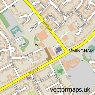
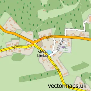
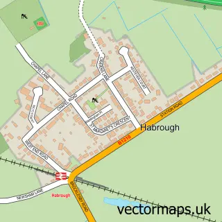
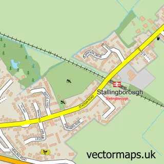
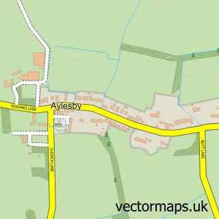
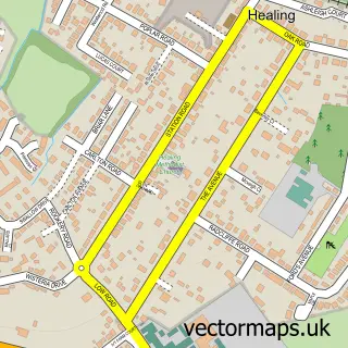
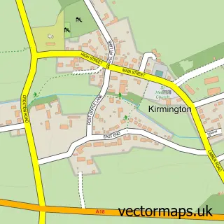
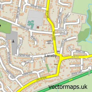
Nearby street map samples around Keelby

More street maps in Lincolnshire
750 metre map area coverage
Boundary, postcode and point of interest information for the 750m x 750m rectangle centred on this sample map.
Boundaries containing map centre
Constituency: Gainsborough Co Const
County: Lincolnshire County
District: West Lindsey District
Icb: NHS Lincolnshire ICB
Parish: Keelby CP
Police Force: lincolnshire
Postcode District: DN41
Postcode Sector: DN41 8
Ward: Caistor and Yarborough Ward
Nearby boundaries intersecting sample
No additional intersecting boundaries found.
Postcode coverage
POI category counts
Pub: 3
Convenience Store: 2
Courier And Delivery Services: 2
Elementary School: 2
Hair Salon: 2
Korean Grocery Store: 2
Library: 2
Media Agency: 2
Package Locker: 2
Pizza Restaurant: 2
Sample points of interest
- Keelby Manor
- St Bartholomew's, Keelby
- PayPoint
- Commercial Tyre Supplies
- Fox Auto Electrical Limited
- Keelby Guest House
- Specialist Windows
- Fishers Of Grimsby
- The Oak Tailor
- North’s christmas lights
- Tj's Reusables
- Keelby Methodist Church
Create a larger editable map of Keelby
This sample shows only a 750 metre area. To create a larger map of Keelby, use our map builder to choose your own coverage area, add titles and download editable SVG, PDF and PNG files.
Create a custom map of Keelby