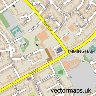
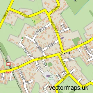
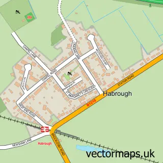
This East Halton street map is a detailed vector street map covering a 750m x 750m area. Select a larger area to create and download your own vector street map of East Halton.
The 750-metre map sample for East Halton covers 227 mapped buildings and approximately 7.7 km of road detail, of which 9 named roads are named. The immediate area includes 1 school, 1 pub and 2 MOT stations within 2 miles. The wider area around East Halton features 1 food and drink venue and 1 hotel. To create a larger or custom map of East Halton, the map builder lets you define your own coverage area and download editable SVG, PDF and PNG files.
Create a larger editable map of East Halton
Choose any area you need and generate a high-quality vector map instantly. Perfect for print, planning, design, business and personal use.

This East Halton street map in Lincolnshire is available as downloadable SVG, PDF and PNG map files, or as a printed map for planning, business, display, education, local information and design work. You can also create a larger custom map area using the map selector.
What this East Halton map sample shows
East Halton lies within East Halton Cp parish, part of Ferry ward in the North Lincolnshire (B) local authority area. The postcode geography for this area includes the DN postcode area, the DN40 postcode district and the DN40 3 postcode sector. Residents fall under the Nhs Humber And North Yorkshire Integrated Care Board for NHS services.
Local features near East Halton
Within 2 milesAmenities and services in and around East Halton.
Administrative and postcode information for East Halton
East Halton lies within East Halton Cp parish, part of Ferry ward in the North Lincolnshire (B) local authority area. The postcode geography for this area includes the DN postcode area, the DN40 postcode district and the DN40 3 postcode sector. Residents fall under the Nhs Humber And North Yorkshire Integrated Care Board for NHS services.
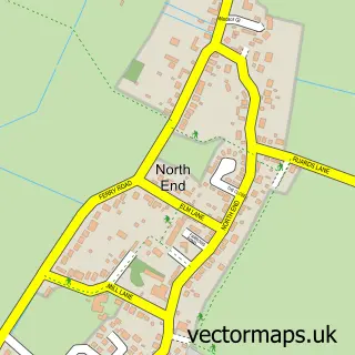
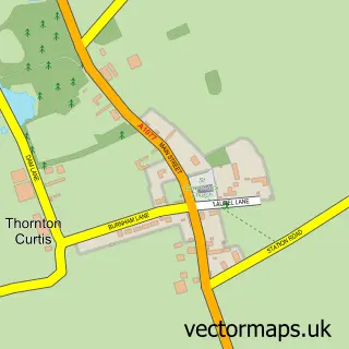
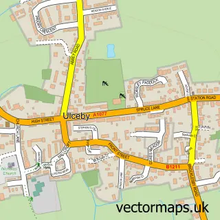
Nearby street map samples around East Halton

More street maps in Lincolnshire
750 metre map area coverage
Boundary, postcode and point of interest information for the 750m x 750m rectangle centred on this sample map.
Boundaries containing map centre
Constituency: Brigg and Immingham Co Const
District: North Lincolnshire (B)
Icb: NHS Humber and North Yorkshire ICB
Parish: East Halton CP
Police Force: humberside
Postcode District: DN40
Postcode Sector: DN40 3
Ward: Ferry Ward
Nearby boundaries intersecting sample
No additional intersecting boundaries found.
Postcode coverage
POI category counts
Building Supply Store: 2
Auto Electrical Repair: 1
Beauty And Spa: 1
Contractor: 1
Electrician: 1
Elementary School: 1
Financial Service: 1
Hotel: 1
Pet Sitting: 1
Post Office: 1
Sample points of interest
- D M N Electrical
- Lincs vocational training academy
- DMN Electrical
- JTB Plumbing & Gas
- Lincs Locks & Glazing Repairs
- D.M.N Electrical
- East Halton Primary School
- Mortgage Market
- Black Bull Inn
- East View Cattery
- East Halton Post Office
- The Black Bull Inn East Halton
Create a larger editable map of East Halton
This sample shows only a 750 metre area. To create a larger map of East Halton, use our map builder to choose your own coverage area, add titles and download editable SVG, PDF and PNG files.
Create a custom map of East Halton