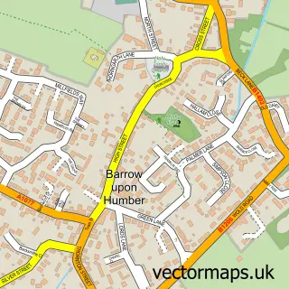
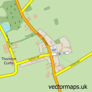
This Barton-upon-Humber street map is a detailed vector street map covering a 750m x 750m area. Select a larger area to create and download your own vector street map of Barton-upon-Humber.
The 750-metre map sample for Barton-upon-Humber covers 515 mapped buildings and approximately 21.1 km of road detail, of which 52 named roads are named. The immediate area includes 1 school, 1 railway station, 2 GP surgeries and 6 pubs among other local services. The wider area around Barton-upon-Humber features 4 tourism points of interest, 14 food and drink venues and 1 hotel. To create a larger or custom map of Barton-upon-Humber, the map builder lets you define your own coverage area and download editable SVG, PDF and PNG files.
Create a larger editable map of Barton-upon-Humber
Choose any area you need and generate a high-quality vector map instantly. Perfect for print, planning, design, business and personal use.

This Barton-upon-Humber street map in Lincolnshire is available as downloadable SVG, PDF and PNG map files, or as a printed map for planning, business, display, education, local information and design work. You can also create a larger custom map area using the map selector.
What this Barton-upon-Humber map sample shows
Barton-upon-Humber lies within Barton Cp parish, part of Barton ward in the North Lincolnshire (B) local authority area. The postcode geography for this area includes the DN postcode area, the DN18 postcode district and the DN18 5 postcode sector. Residents fall under the Nhs Humber And North Yorkshire Integrated Care Board for NHS services.
Local features near Barton-upon-Humber
Within 2 milesAmenities and services in and around Barton-upon-Humber.
Administrative and postcode information for Barton-upon-Humber
Barton-upon-Humber lies within Barton Cp parish, part of Barton ward in the North Lincolnshire (B) local authority area. The postcode geography for this area includes the DN postcode area, the DN18 postcode district and the DN18 5 postcode sector. Residents fall under the Nhs Humber And North Yorkshire Integrated Care Board for NHS services.
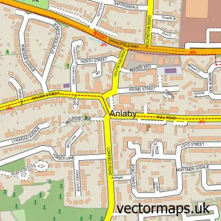
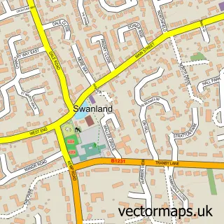
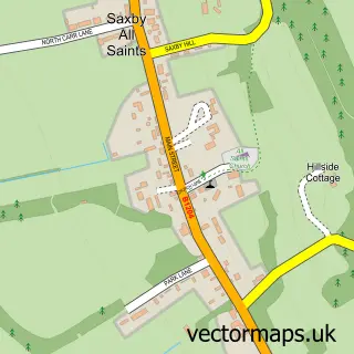
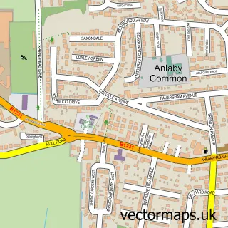
Nearby street map samples around Barton-upon-Humber

More street maps in Lincolnshire
750 metre map area coverage
Boundary, postcode and point of interest information for the 750m x 750m rectangle centred on this sample map.
Boundaries containing map centre
Constituency: Brigg and Immingham Co Const
District: North Lincolnshire (B)
Icb: NHS Humber and North Yorkshire ICB
Parish: Barton CP
Police Force: humberside
Postcode District: DN18
Postcode Sector: DN18 5
Ward: Barton Ward
Nearby boundaries intersecting sample
Postcode Sector: DN18 6
Postcode coverage
POI category counts
Hair Salon: 11
Banks: 8
Beauty Salon: 8
Convenience Store: 8
Flowers And Gifts Shop: 8
Retail: 8
Pub: 6
Tattoo And Piercing: 6
Beauty And Spa: 5
It Service And Computer Repair: 5
Sample points of interest
- Dare to Know
- Rafters Restaurant
- Saint Mary the Virgin
- British Red Cross
- Humberside Clock Works
- Ted Lewis Centre
- Sunflower Take Away
- Morrisons Daily - Barton-On-Humber High St
- PayPoint
- The Cooperative Food Barton Upon Humber
- St Peter's Church, Barton-upon-Humber
- Barton Garage Services
Create a larger editable map of Barton-upon-Humber
This sample shows only a 750 metre area. To create a larger map of Barton-upon-Humber, use our map builder to choose your own coverage area, add titles and download editable SVG, PDF and PNG files.
Create a custom map of Barton-upon-Humber