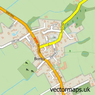
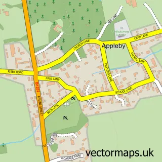
This South Ferriby street map is a detailed vector street map covering a 750m x 750m area. Select a larger area to create and download your own vector street map of South Ferriby.
The 750-metre map sample for South Ferriby covers 172 mapped buildings and approximately 15.2 km of road detail, of which 16 named roads are named. The immediate area includes 1 pub and 1 MOT station within 2 miles. The wider area around South Ferriby features 1 food and drink venue. To create a larger or custom map of South Ferriby, the map builder lets you define your own coverage area and download editable SVG, PDF and PNG files.
Create a larger editable map of South Ferriby
Choose any area you need and generate a high-quality vector map instantly. Perfect for print, planning, design, business and personal use.

This South Ferriby street map in Lincolnshire is available as downloadable SVG, PDF and PNG map files, or as a printed map for planning, business, display, education, local information and design work. You can also create a larger custom map area using the map selector.
What this South Ferriby map sample shows
South Ferriby lies within South Ferriby Cp parish, part of Brigg And Wolds ward in the North Lincolnshire (B) local authority area. The postcode geography for this area includes the DN postcode area, the DN18 postcode district and the DN18 6 postcode sector. Residents fall under the Nhs Humber And North Yorkshire Integrated Care Board for NHS services.
Local features near South Ferriby
Within 2 milesAmenities and services in and around South Ferriby.
Administrative and postcode information for South Ferriby
The local authority covering South Ferriby is North Lincolnshire (B), within the county of Lincolnshire. The settlement lies within Brigg And Wolds ward and South Ferriby Cp civil parish. The DN18 postcode district and DN18 6 postcode sector serve the immediate area. NHS provision in the area is delivered through Northern Lincolnshire And Goole Nhs Foundation Trust.
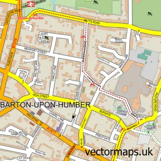
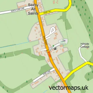
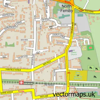
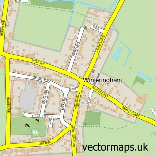
Nearby street map samples around South Ferriby

More street maps in Lincolnshire
750 metre map area coverage
Boundary, postcode and point of interest information for the 750m x 750m rectangle centred on this sample map.
Boundaries containing map centre
Constituency: Brigg and Immingham Co Const
District: North Lincolnshire (B)
Icb: NHS Humber and North Yorkshire ICB
Parish: South Ferriby CP
Police Force: humberside
Postcode District: DN18
Postcode Sector: DN18 6
Ward: Brigg & Wolds Ward
Nearby boundaries intersecting sample
No additional intersecting boundaries found.
Postcode coverage
POI category counts
Automotive Repair: 1
Building Supply Store: 1
Business Management Services: 1
Church Cathedral: 1
Community Center: 1
Computer Store: 1
Elementary School: 1
Post Office: 1
Pub: 1
Shopping: 1
Sample points of interest
- Marshall Auto Repairs
- Lawn N Order Ltd
- Post Office-South Ferriby
- St Nicholas's Church
- South Ferriby village hall
- Ryan Tyson Systems
- South Ferriby Primary School
- Post Office Stores
- Nelthorpe Arms
- South Ferriby Christmas Trees
- Retreat for Yoga
Create a larger editable map of South Ferriby
This sample shows only a 750 metre area. To create a larger map of South Ferriby, use our map builder to choose your own coverage area, add titles and download editable SVG, PDF and PNG files.
Create a custom map of South Ferriby