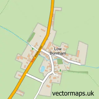
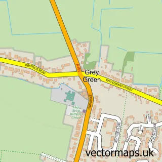
This Epworth street map is a detailed vector street map covering a 750m x 750m area. Select a larger area to create and download your own vector street map of Epworth.
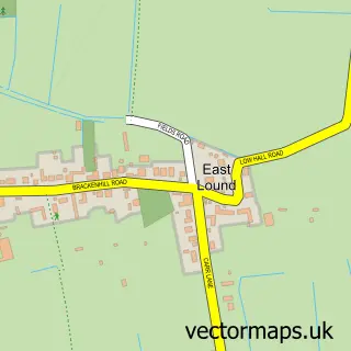
The 750-metre map sample for Epworth covers 527 mapped buildings and approximately 19.3 km of road detail, of which 36 named roads are named. The immediate area includes 1 GP surgery, 6 pubs and 1 MOT station within 2 miles. The wider area around Epworth features 1 tourism point of interest, 10 food and drink venues and 1 hotel. To create a larger or custom map of Epworth, the map builder lets you define your own coverage area and download editable SVG, PDF and PNG files.
Create a larger editable map of Epworth
Choose any area you need and generate a high-quality vector map instantly. Perfect for print, planning, design, business and personal use.

This Epworth street map in Lincolnshire is available as downloadable SVG, PDF and PNG map files, or as a printed map for planning, business, display, education, local information and design work. You can also create a larger custom map area using the map selector.
What this Epworth map sample shows
Epworth lies within Epworth Cp parish, part of Axholme Central ward in the North Lincolnshire (B) local authority area. The postcode geography for this area includes the DN postcode area, the DN9 postcode district and the DN9 1 postcode sector. Residents fall under the Nhs Humber And North Yorkshire Integrated Care Board for NHS services.
Local features near Epworth
Within 2 milesAmenities and services in and around Epworth.
Administrative and postcode information for Epworth
Epworth lies within Epworth Cp parish, part of Axholme Central ward in the North Lincolnshire (B) local authority area. The postcode geography for this area includes the DN postcode area, the DN9 postcode district and the DN9 1 postcode sector. Residents fall under the Nhs Humber And North Yorkshire Integrated Care Board for NHS services.
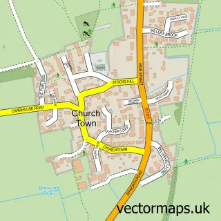
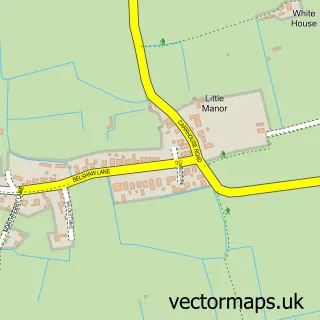
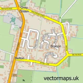
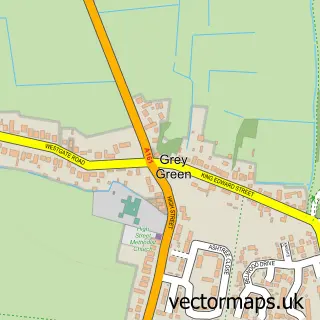
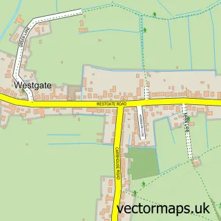
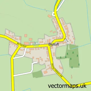
Nearby street map samples around Epworth

More street maps in Lincolnshire
750 metre map area coverage
Boundary, postcode and point of interest information for the 750m x 750m rectangle centred on this sample map.
Boundaries containing map centre
Constituency: Doncaster East and the Isle of Axholme Co Const
District: North Lincolnshire (B)
Icb: NHS Humber and North Yorkshire ICB
Parish: Epworth CP
Police Force: humberside
Postcode District: DN9
Postcode Sector: DN9 1
Ward: Axholme Central Ward
Nearby boundaries intersecting sample
No additional intersecting boundaries found.
Postcode coverage
POI category counts
Beauty Salon: 10
Hair Salon: 6
Pub: 6
Flowers And Gifts Shop: 5
Bakery: 4
Barber: 4
Clothing Store: 4
Dry Cleaning: 4
Church Cathedral: 3
Financial Advising: 3
Sample points of interest
- A S A P Accountants
- Hurstons Accountants
- St Andrew's, Epworth
- Hebden Agencies
- Gallery 13
- J K N Renewables Ltd.
- Utopia Interiors Epworth
- Albion Bakery
- Grahams Bakery
- Queen Street Bakehouse
- The Icing on Cake
- Nationwide Building Society
Create a larger editable map of Epworth
This sample shows only a 750 metre area. To create a larger map of Epworth, use our map builder to choose your own coverage area, add titles and download editable SVG, PDF and PNG files.
Create a custom map of Epworth