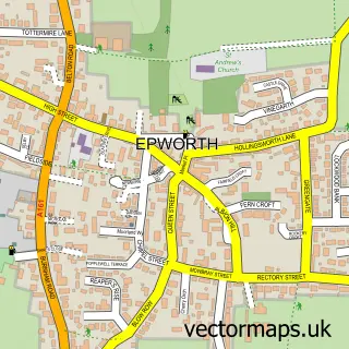
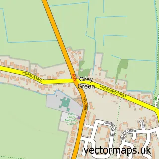
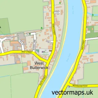
This Church Town street map is a detailed vector street map covering a 750m x 750m area. Select a larger area to create and download your own vector street map of Church Town.
The 750-metre map sample for Church Town covers 280 mapped buildings and approximately 9.7 km of road detail, of which 18 named roads are named. The immediate area includes 1 GP surgery within 2 miles, 1 pub and 2 MOT stations within 2 miles. The wider area around Church Town features 1 food and drink venue. To create a larger or custom map of Church Town, the map builder lets you define your own coverage area and download editable SVG, PDF and PNG files.
Create a larger editable map of Church Town
Choose any area you need and generate a high-quality vector map instantly. Perfect for print, planning, design, business and personal use.

This Church Town street map in Lincolnshire is available as downloadable SVG, PDF and PNG map files, or as a printed map for planning, business, display, education, local information and design work. You can also create a larger custom map area using the map selector.
What this Church Town map sample shows
Church Town lies within Belton Cp parish, part of Axholme Central ward in the North Lincolnshire (B) local authority area. The postcode geography for this area includes the DN postcode area, the DN9 postcode district and the DN9 1 postcode sector. Residents fall under the Nhs Humber And North Yorkshire Integrated Care Board for NHS services.
Local features near Church Town
Within 2 milesAmenities and services in and around Church Town.
Administrative and postcode information for Church Town
The local authority covering Church Town is North Lincolnshire (B), within the county of Lincolnshire. The settlement lies within Axholme Central ward and Belton Cp civil parish. The DN9 postcode district and DN9 1 postcode sector serve the immediate area. NHS provision in the area is delivered through Northern Lincolnshire And Goole Nhs Foundation Trust.
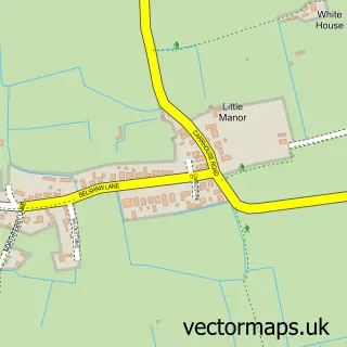
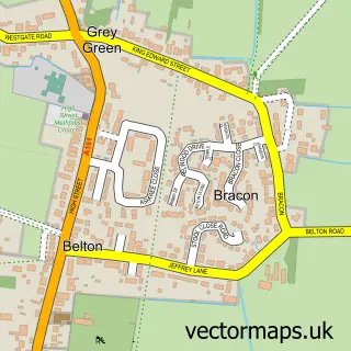
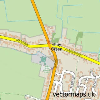
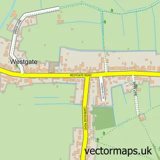
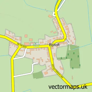
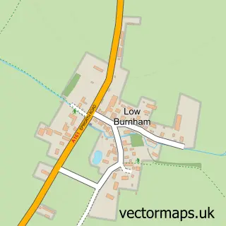
Nearby street map samples around Church Town

More street maps in Lincolnshire
750 metre map area coverage
Boundary, postcode and point of interest information for the 750m x 750m rectangle centred on this sample map.
Boundaries containing map centre
Constituency: Doncaster East and the Isle of Axholme Co Const
District: North Lincolnshire (B)
Icb: NHS Humber and North Yorkshire ICB
Parish: Belton CP
Police Force: humberside
Postcode District: DN9
Postcode Sector: DN9 1
Ward: Axholme Central Ward
Nearby boundaries intersecting sample
No additional intersecting boundaries found.
Postcode coverage
POI category counts
Accountant: 1
Agricultural Service: 1
Alternative Medicine: 1
Architectural Designer: 1
Car Rental Agency: 1
Church Cathedral: 1
Dance Club: 1
Equestrian Facility: 1
Marketing Agency: 1
Pub: 1
Sample points of interest
- C L Shipley Bookkeeping Services
- EDS Agricultural Contracting
- Hayley Drakes Holistic Therapies
- Owl360
- Classic American Car for Hire
- All Saints Church
- Pulsar Karaoke Disco
- Foxisle Stud
- Pixel Digital Agency
- The Crown Inn
- Taxi-Mike
Create a larger editable map of Church Town
This sample shows only a 750 metre area. To create a larger map of Church Town, use our map builder to choose your own coverage area, add titles and download editable SVG, PDF and PNG files.
Create a custom map of Church Town