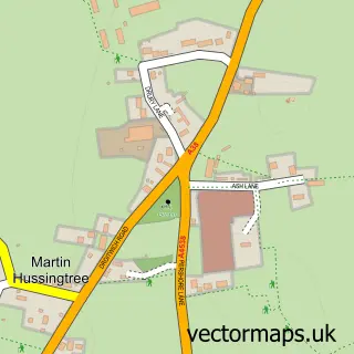
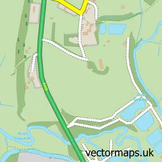
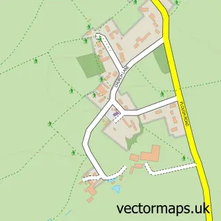
This Fernhill Heath street map is a detailed vector street map covering a 750m x 750m area. Select a larger area to create and download your own vector street map of Fernhill Heath.
The 750-metre map sample for Fernhill Heath covers 470 mapped buildings and approximately 35.4 km of road detail, of which 34 named roads are named. The immediate area includes 1 school, 2 GP surgeries within 2 miles, 2 pubs and 14 MOT stations within 2 miles. The wider area around Fernhill Heath features 2 food and drink venues and 1 campsite within 2 miles. To create a larger or custom map of Fernhill Heath, the map builder lets you define your own coverage area and download editable SVG, PDF and PNG files.
Create a larger editable map of Fernhill Heath
Choose any area you need and generate a high-quality vector map instantly. Perfect for print, planning, design, business and personal use.

This Fernhill Heath street map in Worcestershire is available as downloadable SVG, PDF and PNG map files, or as a printed map for planning, business, display, education, local information and design work. You can also create a larger custom map area using the map selector.
What this Fernhill Heath map sample shows
Fernhill Heath lies within North Claines Cp parish, part of Lovett And North Claines ward in the Wychavon District local authority area. The postcode geography for this area includes the WR postcode area, the WR3 postcode district and the WR3 8 postcode sector. Residents fall under the Nhs Herefordshire And Worcestershire Integrated Care Board for NHS services.
Local features near Fernhill Heath
Within 2 milesAmenities and services in and around Fernhill Heath.
Administrative and postcode information for Fernhill Heath
The local authority covering Fernhill Heath is Wychavon District, within the county of Worcestershire. The settlement lies within Lovett And North Claines ward and North Claines Cp civil parish. The WR3 postcode district and WR3 8 postcode sector serve the immediate area. NHS provision in the area is delivered through Worcestershire Acute Hospitals Nhs Trust.
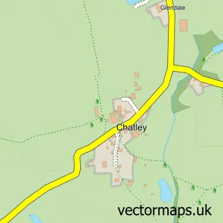
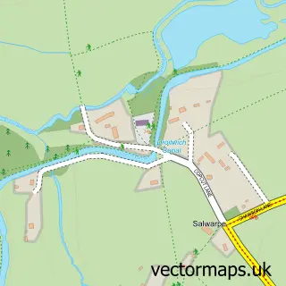
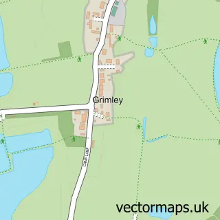
Nearby street map samples around Fernhill Heath
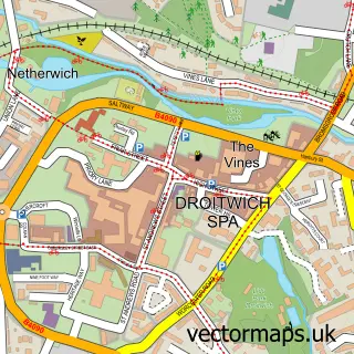

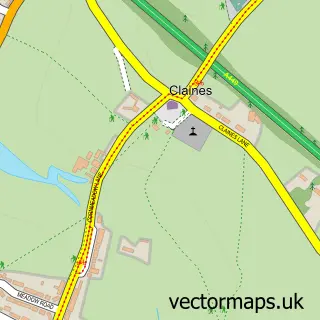
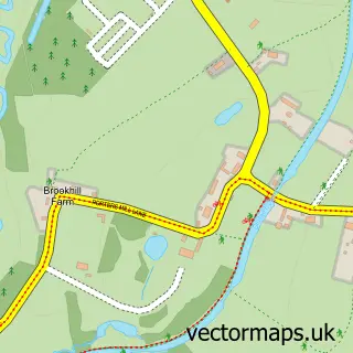
More street maps in Worcestershire
750 metre map area coverage
Boundary, postcode and point of interest information for the 750m x 750m rectangle centred on this sample map.
Boundaries containing map centre
Constituency: Droitwich and Evesham Co Const
County: Worcestershire County
District: Wychavon District
Icb: NHS Herefordshire and Worcestershire ICB
Parish: North Claines CP
Police Force: west mercia
Postcode District: WR3
Postcode Sector: WR3 8
Ward: North Claines & Salwarpe Ward
Nearby boundaries intersecting sample
Postcode Sector: WR3 7
Postcode coverage
POI category counts
Convenience Store: 4
Business Consulting: 2
Martial Arts Club: 2
Post Office: 2
Pub: 2
Train Station: 2
Atms: 1
Baptist Church: 1
Beauty And Spa: 1
Beauty Salon: 1
Sample points of interest
- Spar Fernhill Heath (Protected)
- Fernhill Heath Baptist Church
- Glow Beauty by Emilia
- Clare's Beauty Box
- Applied Resource
- IOC Solutions
- Chatterbox Pre-School
- Sun Protection Clothing
- Costcutter
- Costcutter (Fernhill Heath)
- Morrisons Daily
- SPAR
Create a larger editable map of Fernhill Heath
This sample shows only a 750 metre area. To create a larger map of Fernhill Heath, use our map builder to choose your own coverage area, add titles and download editable SVG, PDF and PNG files.
Create a custom map of Fernhill Heath