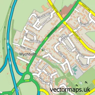
This Droitwich Spa street map is a detailed vector street map covering a 750m x 750m area. Select a larger area to create and download your own vector street map of Droitwich Spa.
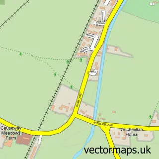
The 750-metre map sample for Droitwich Spa covers 243 mapped buildings and approximately 57.1 km of road detail, of which 46 named roads are named. The immediate area includes 1 school, 2 GP surgeries, with 3 within 2 miles, 11 pubs and 7 MOT stations within 2 miles. The wider area around Droitwich Spa features 4 tourism points of interest and 27 food and drink venues. To create a larger or custom map of Droitwich Spa, the map builder lets you define your own coverage area and download editable SVG, PDF and PNG files.
Create a larger editable map of Droitwich Spa
Choose any area you need and generate a high-quality vector map instantly. Perfect for print, planning, design, business and personal use.

This Droitwich Spa street map in Worcestershire is available as downloadable SVG, PDF and PNG map files, or as a printed map for planning, business, display, education, local information and design work. You can also create a larger custom map area using the map selector.
What this Droitwich Spa map sample shows
Droitwich Spa lies within Droitwich Spa Cp parish, part of Droitwich East ward in the Wychavon District local authority area. The postcode geography for this area includes the WR postcode area, the WR9 postcode district and the WR9 8 postcode sector. Residents fall under the Nhs Herefordshire And Worcestershire Integrated Care Board for NHS services.
Local features near Droitwich Spa
Within 2 milesAmenities and services in and around Droitwich Spa.
Administrative and postcode information for Droitwich Spa
The local authority covering Droitwich Spa is Wychavon District, within the county of Worcestershire. The settlement lies within Droitwich East ward and Droitwich Spa Cp civil parish. The WR9 postcode district and WR9 8 postcode sector serve the immediate area. NHS provision in the area is delivered through Worcestershire Acute Hospitals Nhs Trust.
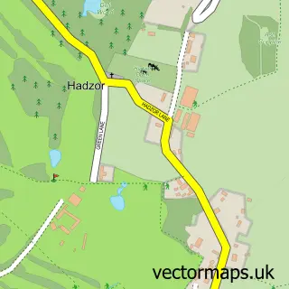
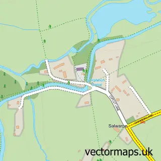
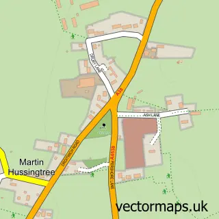
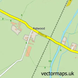
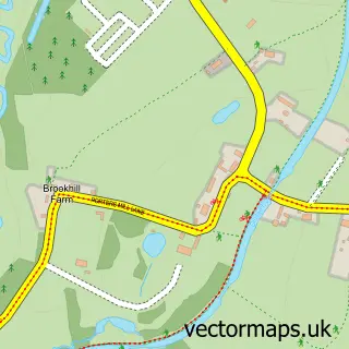
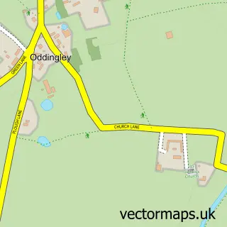
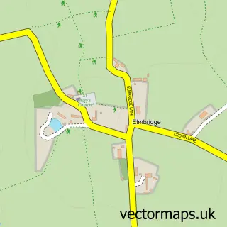
Nearby street map samples around Droitwich Spa

More street maps in Worcestershire
750 metre map area coverage
Boundary, postcode and point of interest information for the 750m x 750m rectangle centred on this sample map.
Boundaries containing map centre
Constituency: Droitwich and Evesham Co Const
County: Worcestershire County
District: Wychavon District
Icb: NHS Herefordshire and Worcestershire ICB
Parish: Droitwich Spa CP
Police Force: west mercia
Postcode District: WR9
Postcode Sector: WR9 8
Ward: Droitwich East Ward
Nearby boundaries intersecting sample
Postcode Sector: WR9 7, WR9 9
Ward: Droitwich South West Ward
Postcode coverage
POI category counts
Hair Salon: 13
Professional Services: 11
Pub: 11
Beauty Salon: 9
Cafe: 9
Doctor: 8
Real Estate Agent: 7
Clothing Store: 6
Fish And Chips Restaurant: 6
Bank Credit Union: 5
Sample points of interest
- Poplar Carpets Droitwich
- Alliance Payroll Services
- Price Pearson Wheatley
- Salhan Accountants Droitwich
- Total Book-keeping Ltd.
- V Fitness
- Tonks & Firkin Residential Lettings
- St Augustine's (Dodderhill)
- Antique & Vintage by Luca De Luca
- Blue cross
- Salvation Army
- Star Yard
Create a larger editable map of Droitwich Spa
This sample shows only a 750 metre area. To create a larger map of Droitwich Spa, use our map builder to choose your own coverage area, add titles and download editable SVG, PDF and PNG files.
Create a custom map of Droitwich Spa