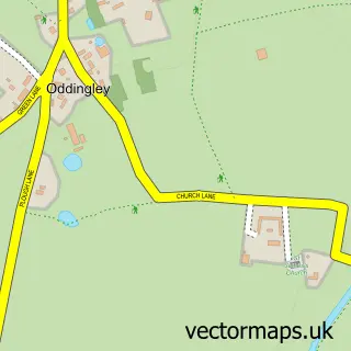
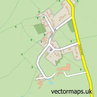
This Martin Hussingtree street map is a detailed vector street map covering a 750m x 750m area. Select a larger area to create and download your own vector street map of Martin Hussingtree.
The 750-metre map sample for Martin Hussingtree covers 91 mapped buildings and approximately 24.7 km of road detail, of which 6 named roads are named. The immediate area includes 1 GP surgery within 2 miles, 2 pubs and 1 MOT station, with 10 within 2 miles. The wider area around Martin Hussingtree features 2 food and drink venues. To create a larger or custom map of Martin Hussingtree, the map builder lets you define your own coverage area and download editable SVG, PDF and PNG files.
Create a larger editable map of Martin Hussingtree
Choose any area you need and generate a high-quality vector map instantly. Perfect for print, planning, design, business and personal use.

This Martin Hussingtree street map in Worcestershire is available as downloadable SVG, PDF and PNG map files, or as a printed map for planning, business, display, education, local information and design work. You can also create a larger custom map area using the map selector.
What this Martin Hussingtree map sample shows
Martin Hussingtree lies within Martin Hussingtree Cp parish, part of Lovett And North Claines ward in the Wychavon District local authority area. The postcode geography for this area includes the WR postcode area, the WR3 postcode district and the WR3 8 postcode sector. Residents fall under the Nhs Herefordshire And Worcestershire Integrated Care Board for NHS services.
Local features near Martin Hussingtree
Within 2 milesAmenities and services in and around Martin Hussingtree.
Administrative and postcode information for Martin Hussingtree
The local authority covering Martin Hussingtree is Wychavon District, within the county of Worcestershire. The settlement lies within Lovett And North Claines ward and Martin Hussingtree Cp civil parish. The WR3 postcode district and WR3 8 postcode sector serve the immediate area. NHS provision in the area is delivered through Worcestershire Acute Hospitals Nhs Trust.
Nearby street map samples around Martin Hussingtree
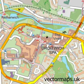

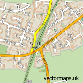
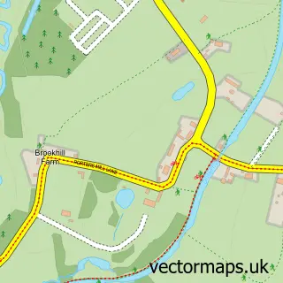
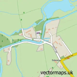
More street maps in Worcestershire
750 metre map area coverage
Boundary, postcode and point of interest information for the 750m x 750m rectangle centred on this sample map.
Boundaries containing map centre
Constituency: Droitwich and Evesham Co Const
County: Worcestershire County
District: Wychavon District
Icb: NHS Herefordshire and Worcestershire ICB
Parish: Martin Hussingtree CP
Police Force: west mercia
Postcode District: WR3
Postcode Sector: WR3 8
Ward: North Claines & Salwarpe Ward
Nearby boundaries intersecting sample
Postcode District: WR9
Postcode Sector: WR9 7
Postcode coverage
POI category counts
Business Management Services: 2
Nursery And Gardening: 2
Pub: 2
Aquatic Pet Store: 1
Arts And Entertainment: 1
Auto Company: 1
Building Supply Store: 1
Chimney Sweep: 1
Farmers Market: 1
Home Goods Store: 1
Sample points of interest
- Worcester Aquatic Centre
- Worcester Bouncy Castle Hire
- MM 4X4
- Central Drives
- Techteam
- Techteam (Uk) Ltd.
- Simon Sweeps
- Brookside Fruits
- MM 4X4
- Hill HR Consultancy Ltd.
- Start Safety UK
- Swan
Create a larger editable map of Martin Hussingtree
This sample shows only a 750 metre area. To create a larger map of Martin Hussingtree, use our map builder to choose your own coverage area, add titles and download editable SVG, PDF and PNG files.
Create a custom map of Martin Hussingtree