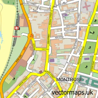
This Ferryden street map is a detailed vector street map covering a 750m x 750m area. Select a larger area to create and download your own vector street map of Ferryden.
The 750-metre map sample for Ferryden covers 68 mapped buildings and approximately 11.9 km of road detail, of which 16 named roads are named. The immediate area includes 3 GP surgeries within 2 miles and 4 MOT stations within 2 miles. The wider area around Ferryden features 1 tourism point of interest and 1 campsite within 2 miles. To create a larger or custom map of Ferryden, the map builder lets you define your own coverage area and download editable SVG, PDF and PNG files.
Create a larger editable map of Ferryden
Choose any area you need and generate a high-quality vector map instantly. Perfect for print, planning, design, business and personal use.

This Ferryden street map in Angus is available as downloadable SVG, PDF and PNG map files, or as a printed map for planning, business, display, education, local information and design work. You can also create a larger custom map area using the map selector.
What this Ferryden map sample shows
Ferryden lies within Angus parish, part of Montrose And District ward in the Angus local authority area. The postcode geography for this area includes the DD postcode area, the DD10 postcode district and the DD10 9 postcode sector. Residents fall under the Tayside for NHS services.
Local features near Ferryden
Within 2 milesAmenities and services in and around Ferryden.
Administrative and postcode information for Ferryden
The local authority covering Ferryden is Angus, within the county of Angus. The settlement lies within Montrose And District ward and Angus civil parish. The DD10 postcode district and DD10 9 postcode sector serve the immediate area. NHS provision in the area is delivered through Tayside.
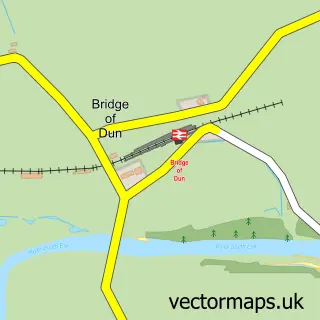
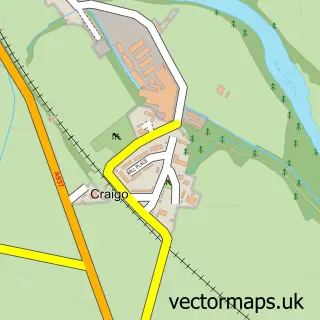
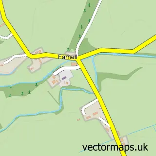
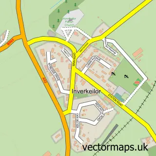
Nearby street map samples around Ferryden

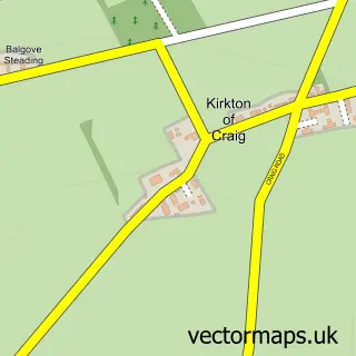
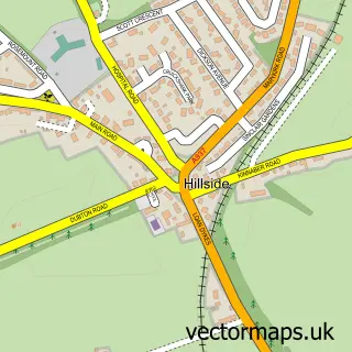
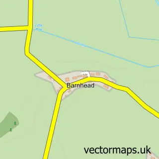
More street maps in Angus
750 metre map area coverage
Boundary, postcode and point of interest information for the 750m x 750m rectangle centred on this sample map.
Boundaries containing map centre
Constituency: Angus and Perthshire Glens Co Const
District: Angus
Icb: Tayside
Postcode District: DD10
Postcode Sector: DD10 9
Ward: Montrose and District Ward
Nearby boundaries intersecting sample
No additional intersecting boundaries found.
Postcode coverage
POI category counts
Education: 3
Building Supply Store: 1
Business: 1
Catholic Church: 1
Church Cathedral: 1
Community Services Non Profits: 1
Elementary School: 1
Event Planning: 1
Freight And Cargo Service: 1
Gardener: 1
Sample points of interest
- G L Landscaping
- Ethos Empowerment
- Montrose Trinity
- United Free Church
- International Well Control Forum
- Anartya
- Ethos Empowerment
- Ferryden Playgroup - New
- Ferryden Primary School
- Barry West Electrical
- Montrose Port Authority
- Pullar Horticulture
Create a larger editable map of Ferryden
This sample shows only a 750 metre area. To create a larger map of Ferryden, use our map builder to choose your own coverage area, add titles and download editable SVG, PDF and PNG files.
Create a custom map of Ferryden