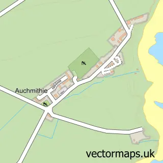
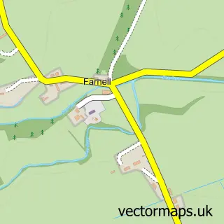
This Inverkeilor street map is a detailed vector street map covering a 750m x 750m area. Select a larger area to create and download your own vector street map of Inverkeilor.
The 750-metre map sample for Inverkeilor covers 88 mapped buildings and approximately 12.4 km of road detail, of which 8 named roads are named. The wider area around Inverkeilor features 1 tourism point of interest. To create a larger or custom map of Inverkeilor, the map builder lets you define your own coverage area and download editable SVG, PDF and PNG files.
Create a larger editable map of Inverkeilor
Choose any area you need and generate a high-quality vector map instantly. Perfect for print, planning, design, business and personal use.

This Inverkeilor street map in Angus is available as downloadable SVG, PDF and PNG map files, or as a printed map for planning, business, display, education, local information and design work. You can also create a larger custom map area using the map selector.
What this Inverkeilor map sample shows
Inverkeilor lies within Angus parish, part of Arbroath East And Lunan ward in the Angus local authority area. The postcode geography for this area includes the DD postcode area, the DD11 postcode district and the DD11 5 postcode sector. Residents fall under the Tayside for NHS services.
Local features near Inverkeilor
Within 2 milesAmenities and services in and around Inverkeilor.
Administrative and postcode information for Inverkeilor
Inverkeilor lies within Angus parish, part of Arbroath East And Lunan ward in the Angus local authority area. The postcode geography for this area includes the DD postcode area, the DD11 postcode district and the DD11 5 postcode sector. Residents fall under the Tayside for NHS services.
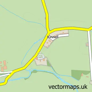
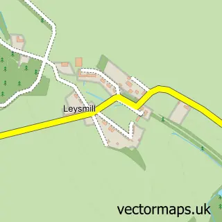
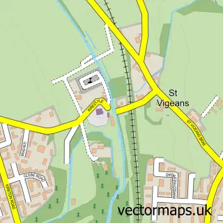
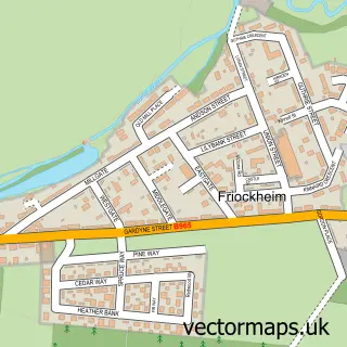
Nearby street map samples around Inverkeilor

More street maps in Angus
750 metre map area coverage
Boundary, postcode and point of interest information for the 750m x 750m rectangle centred on this sample map.
Boundaries containing map centre
Constituency: Arbroath and Broughty Ferry Co Const
District: Angus
Icb: Tayside
Postcode District: DD11
Postcode Sector: DD11 5
Ward: Arbroath East and Lunan Ward
Nearby boundaries intersecting sample
Postcode Sector: DD11 4
Postcode coverage
POI category counts
Newspaper And Magazines Store: 2
Agricultural Service: 1
Agriculture: 1
Beer Garden: 1
British Restaurant: 1
Candy Store: 1
Car Dealer: 1
Catholic Church: 1
Community Services Non Profits: 1
Elementary School: 1
Sample points of interest
- Angus Chainsaws
- Ethie Barns Farm
- Second Chance Tea Room
- Gordon's Restaurant
- One Stop Celebration Shop
- Classic Autosports
- Arbroath and District
- Inverkeilor Art Cafe
- Inverkeilor Primary School
- RT McEwan Ltd
- Mackintosh German Kitchens
- ThunderWerx LTD
Create a larger editable map of Inverkeilor
This sample shows only a 750 metre area. To create a larger map of Inverkeilor, use our map builder to choose your own coverage area, add titles and download editable SVG, PDF and PNG files.
Create a custom map of Inverkeilor