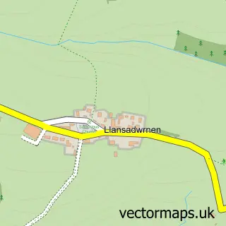
This Ferryside street map is a detailed vector street map covering a 750m x 750m area. Select a larger area to create and download your own vector street map of Ferryside.
The 750-metre map sample for Ferryside covers 175 mapped buildings and approximately 8.8 km of road detail, of which 9 named roads are named. The immediate area includes 1 school, 1 railway station, 1 pub and 1 MOT station within 2 miles. The wider area around Ferryside features 3 food and drink venues and 2 campsites within 2 miles. To create a larger or custom map of Ferryside, the map builder lets you define your own coverage area and download editable SVG, PDF and PNG files.
Create a larger editable map of Ferryside
Choose any area you need and generate a high-quality vector map instantly. Perfect for print, planning, design, business and personal use.

This Ferryside street map in Dyfed is available as downloadable SVG, PDF and PNG map files, or as a printed map for planning, business, display, education, local information and design work. You can also create a larger custom map area using the map selector.
What this Ferryside map sample shows
Ferryside lies within St. Ishmael Community parish, part of St. Ishmael ward in the Sir Gaerfyrddin - Carmarthenshire local authority area. The postcode geography for this area includes the SA postcode area, the SA17 postcode district and the SA17 5 postcode sector. Residents fall under the Hywel Dda University Health Board for NHS services.
Local features near Ferryside
Within 2 milesAmenities and services in and around Ferryside.
Administrative and postcode information for Ferryside
The local authority covering Ferryside is Sir Gaerfyrddin - Carmarthenshire, within the county of Dyfed. The settlement lies within St. Ishmael ward and St. Ishmael Community civil parish. The SA17 postcode district and SA17 5 postcode sector serve the immediate area. NHS provision in the area is delivered through Hywel Dda University Health Board.
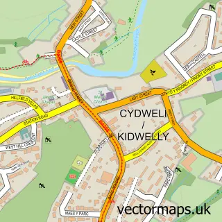
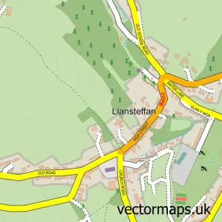
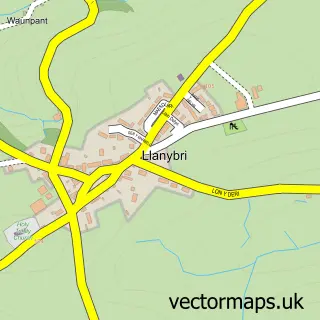
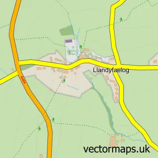
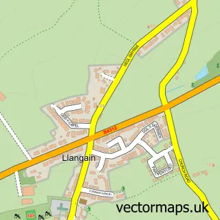
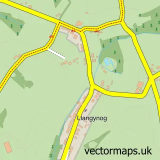
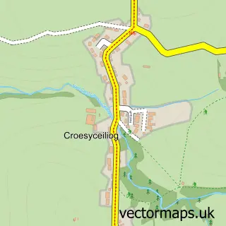
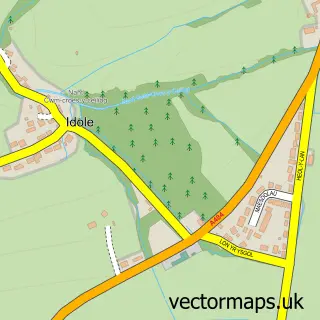
Nearby street map samples around Ferryside

More street maps in Dyfed
750 metre map area coverage
Boundary, postcode and point of interest information for the 750m x 750m rectangle centred on this sample map.
Boundaries containing map centre
Constituency: Llanelli Co Const
District: Sir Gaerfyrddin - Carmarthenshire
Icb: Hywel Dda
Parish: St. Ishmael Community
Police Force: dyfed-powys
Postcode District: SA17
Postcode Sector: SA17 5
Nearby boundaries intersecting sample
Constituency: Caerfyrddin Co Const
Parish: Llansteffan Community
Postcode coverage
POI category counts
Cafe: 2
Church Cathedral: 2
Holiday Rental Home: 2
Beach: 1
Charity Organization: 1
Community Center: 1
Community Services Non Profits: 1
Convenience Store: 1
Cupcake Shop: 1
Elementary School: 1
Sample points of interest
- Ferryside Beach
- Coffee And Friends Ferryside
- Ferry Cabin Cafe
- Ferryside Social Enterprise Group / Mudiad Cymdeithasol Glanyfferi
- St Ishmael Church in Wales
- St Thomas Church in Wales
- Calon y Fferi
- Ferryside Lifeboat
- Cks Supermarket Ltd Eva Terrace
- Traeth Coffee Ferryside
- Ferryside Primary School
- Luna Rising
Create a larger editable map of Ferryside
This sample shows only a 750 metre area. To create a larger map of Ferryside, use our map builder to choose your own coverage area, add titles and download editable SVG, PDF and PNG files.
Create a custom map of Ferryside