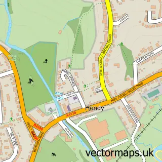
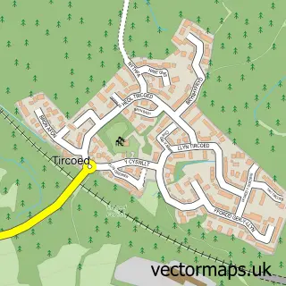
This Fforest street map is a detailed vector street map covering a 750m x 750m area. Select a larger area to create and download your own vector street map of Fforest.
The 750-metre map sample for Fforest covers 296 mapped buildings and approximately 9.3 km of road detail, of which 10 named roads are named. The immediate area includes 1 pub and 3 MOT stations within 2 miles. The wider area around Fforest features 1 food and drink venue. To create a larger or custom map of Fforest, the map builder lets you define your own coverage area and download editable SVG, PDF and PNG files.
Create a larger editable map of Fforest
Choose any area you need and generate a high-quality vector map instantly. Perfect for print, planning, design, business and personal use.

This Fforest street map in Dyfed is available as downloadable SVG, PDF and PNG map files, or as a printed map for planning, business, display, education, local information and design work. You can also create a larger custom map area using the map selector.
What this Fforest map sample shows
Fforest lies within Llanedi Community parish, part of Hendy ward in the Sir Gaerfyrddin - Carmarthenshire local authority area. The postcode geography for this area includes the SA postcode area, the SA4 postcode district and the SA4 0 postcode sector. Residents fall under the Hywel Dda University Health Board for NHS services.
Local features near Fforest
Within 2 milesAmenities and services in and around Fforest.
Administrative and postcode information for Fforest
Fforest lies within Llanedi Community parish, part of Hendy ward in the Sir Gaerfyrddin - Carmarthenshire local authority area. The postcode geography for this area includes the SA postcode area, the SA4 postcode district and the SA4 0 postcode sector. Residents fall under the Hywel Dda University Health Board for NHS services.
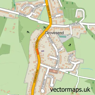
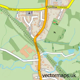
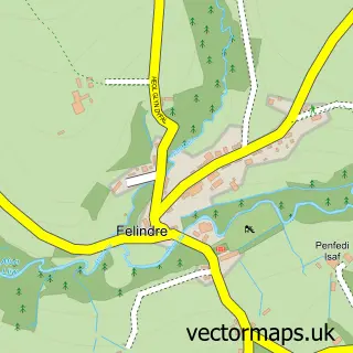
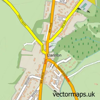
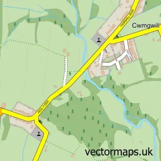
Nearby street map samples around Fforest
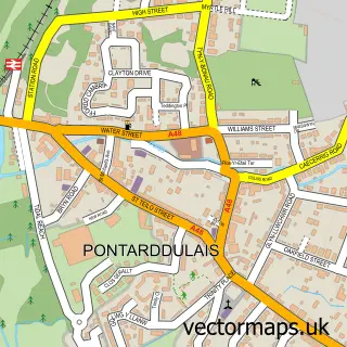

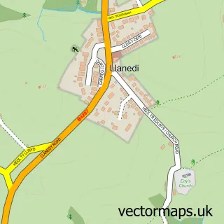
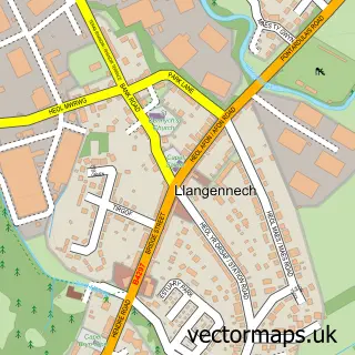
More street maps in Dyfed
750 metre map area coverage
Boundary, postcode and point of interest information for the 750m x 750m rectangle centred on this sample map.
Boundaries containing map centre
Constituency: Llanelli Co Const
District: Sir Gaerfyrddin - Carmarthenshire
Icb: Hywel Dda
Parish: Llanedi Community
Police Force: dyfed-powys
Postcode District: SA4
Postcode Sector: SA4 0
Nearby boundaries intersecting sample
Constituency: Gower Co Const
District: Abertawe - Swansea
Icb: Abertawe Bro Morgannwg University
Parish: Pontarddulais Community
Postcode Sector: SA4 8
Postcode coverage
POI category counts
Convenience Store: 2
Advertising Agency: 1
Appliance Repair Service: 1
Home Developer: 1
Industrial Equipment: 1
It Service And Computer Repair: 1
Korean Grocery Store: 1
Massage Therapy: 1
Package Locker: 1
Pub: 1
Sample points of interest
- Swansea Seo Services
- Compressor Solutions Ltd.
- Fforest Stores & Post Office
- Premier
- Charles Church Golwg Y Glyn
- Morgan Powered Access
- UK Tech Force
- Post Office-Fforest
- Tylino Heledd Clarke Sports Massage
- InPost
- The Bird In Hand
- Fforest Square, Fforest
Create a larger editable map of Fforest
This sample shows only a 750 metre area. To create a larger map of Fforest, use our map builder to choose your own coverage area, add titles and download editable SVG, PDF and PNG files.
Create a custom map of Fforest