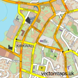
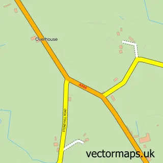
This Finstown street map is a detailed vector street map covering a 750m x 750m area. Select a larger area to create and download your own vector street map of Finstown.
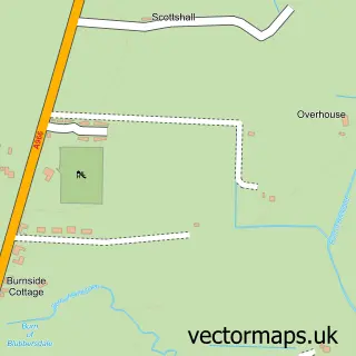
The 750-metre map sample for Finstown covers 98 mapped buildings and approximately 9.6 km of road detail, of which 11 named roads are named. The immediate area includes 1 pub and 1 MOT station. The wider area around Finstown features 2 tourism points of interest and 1 food and drink venue. To create a larger or custom map of Finstown, the map builder lets you define your own coverage area and download editable SVG, PDF and PNG files.
Create a larger editable map of Finstown
Choose any area you need and generate a high-quality vector map instantly. Perfect for print, planning, design, business and personal use.

This Finstown street map in Orkney is available as downloadable SVG, PDF and PNG map files, or as a printed map for planning, business, display, education, local information and design work. You can also create a larger custom map area using the map selector.
What this Finstown map sample shows
Finstown lies within Orkney Islands parish, part of West Mainland ward in the Orkney Islands local authority area. The postcode geography for this area includes the KW postcode area, the KW17 postcode district and the KW17 2 postcode sector. Residents fall under the Orkney for NHS services.
Local features near Finstown
Within 2 milesAmenities and services in and around Finstown.
Administrative and postcode information for Finstown
Finstown lies within Orkney Islands parish, part of West Mainland ward in the Orkney Islands local authority area. The postcode geography for this area includes the KW postcode area, the KW17 postcode district and the KW17 2 postcode sector. Residents fall under the Orkney for NHS services.
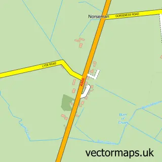
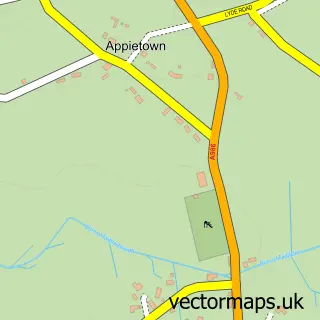
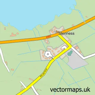
Nearby street map samples around Finstown

More street maps in Orkney
750 metre map area coverage
Boundary, postcode and point of interest information for the 750m x 750m rectangle centred on this sample map.
Boundaries containing map centre
Constituency: Orkney and Shetland Co Const
District: Orkney Islands
Icb: Orkney
Postcode District: KW17
Postcode Sector: KW17 2
Ward: West Mainland Ward
Nearby boundaries intersecting sample
No additional intersecting boundaries found.
Postcode coverage
POI category counts
Park: 2
Post Office: 2
American Restaurant: 1
Art Gallery: 1
Building Supply Store: 1
Catholic Church: 1
Church Cathedral: 1
Fish And Chips Restaurant: 1
Grocery Store: 1
Holiday Rental Home: 1
Sample points of interest
- Leigh's
- Shorelines Gallery and Accommodation
- Allans of Gillock
- Firth
- Firth Church
- Baikies Chip Shop Takeaway
- Baikies Stores
- Kevara Self-Catering
- Finstown Community Park
- Firth Park
- Finstown Post Office
- Post Office
Create a larger editable map of Finstown
This sample shows only a 750 metre area. To create a larger map of Finstown, use our map builder to choose your own coverage area, add titles and download editable SVG, PDF and PNG files.
Create a custom map of Finstown