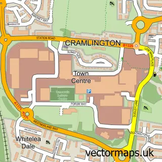
This Fordley street map is a detailed vector street map covering a 750m x 750m area. Select a larger area to create and download your own vector street map of Fordley.
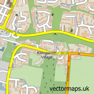
The 750-metre map sample for Fordley covers 389 mapped buildings and approximately 17.7 km of road detail, of which 27 named roads are named. The immediate area includes 1 school, 8 GP surgeries within 2 miles and 15 MOT stations within 2 miles. The wider area around Fordley features 1 hotel. To create a larger or custom map of Fordley, the map builder lets you define your own coverage area and download editable SVG, PDF and PNG files.
Create a larger editable map of Fordley
Choose any area you need and generate a high-quality vector map instantly. Perfect for print, planning, design, business and personal use.

This Fordley street map in Tyne & Wear is available as downloadable SVG, PDF and PNG map files, or as a printed map for planning, business, display, education, local information and design work. You can also create a larger custom map area using the map selector.
What this Fordley map sample shows
Fordley lies within North Tyneside District (B) parish, part of Weetslade ward in the North Tyneside District (B) local authority area. The postcode geography for this area includes the NE postcode area, the NE23 postcode district and the NE23 7 postcode sector. Residents fall under the Nhs North East And North Cumbria Integrated Care Board for NHS services.
Local features near Fordley
Within 2 milesAmenities and services in and around Fordley.
Administrative and postcode information for Fordley
The local authority covering Fordley is North Tyneside District (B), within the county of Tyne & Wear. The settlement lies within Weetslade ward and North Tyneside District (B) civil parish. The NE23 postcode district and NE23 7 postcode sector serve the immediate area. NHS provision in the area is delivered through Northumbria Healthcare Nhs Foundation Trust.
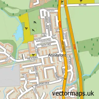
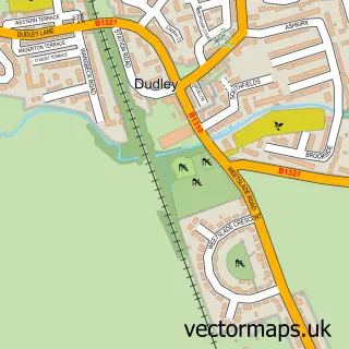
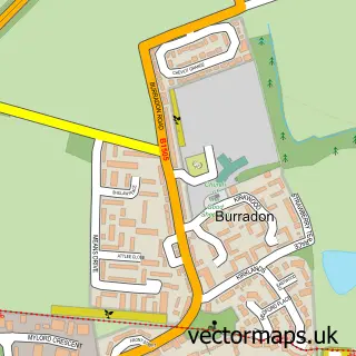
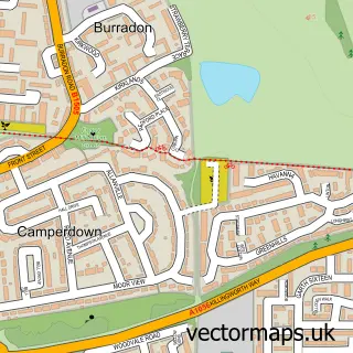
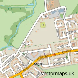
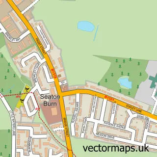
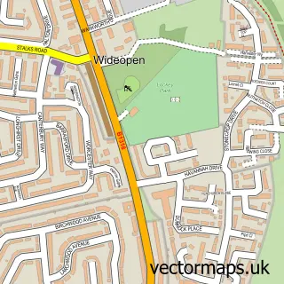
Nearby street map samples around Fordley

More street maps in Tyne & Wear
750 metre map area coverage
Boundary, postcode and point of interest information for the 750m x 750m rectangle centred on this sample map.
Boundaries containing map centre
Constituency: Cramlington and Killingworth Co Const
District: North Tyneside District (B)
Icb: NHS North East and North Cumbria ICB
Police Force: northumberland
Postcode District: NE23
Postcode Sector: NE23 7
Ward: Camperdown Ward
Nearby boundaries intersecting sample
Ward: Weetslade Ward
Postcode coverage
POI category counts
Building Supply Store: 2
Elementary School: 2
Atms: 1
Automotive Services And Repair: 1
Business Consulting: 1
Cleaning Services: 1
Contractor: 1
Employment Agencies: 1
Event Photography: 1
Fitness Trainer: 1
Sample points of interest
- Dudley Mini Market
- Rebooted-IT
- John Curtis Electrical
- P D Electrics
- Executype PA
- The French Maid
- Apex Improvements
- Fordley Primary School
- Fordley Primary School
- C D M
- Inspired By Abbie Photography
- Rebuild Personal Training - Richard Birkett
Create a larger editable map of Fordley
This sample shows only a 750 metre area. To create a larger map of Fordley, use our map builder to choose your own coverage area, add titles and download editable SVG, PDF and PNG files.
Create a custom map of Fordley