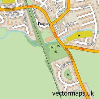
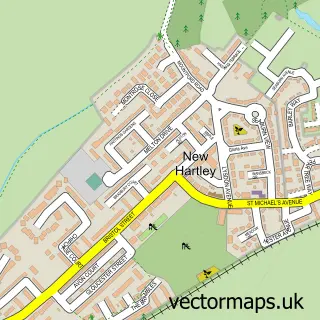
This Cramlington street map is a detailed vector street map covering a 750m x 750m area. Select a larger area to create and download your own vector street map of Cramlington.
The 750-metre map sample for Cramlington covers 202 mapped buildings and approximately 16.7 km of road detail, of which 23 named roads are named. The immediate area includes 3 GP surgeries, 10 pubs and 1 MOT station, with 10 within 2 miles. The wider area around Cramlington features 4 tourism points of interest and 25 food and drink venues. To create a larger or custom map of Cramlington, the map builder lets you define your own coverage area and download editable SVG, PDF and PNG files.
Create a larger editable map of Cramlington
Choose any area you need and generate a high-quality vector map instantly. Perfect for print, planning, design, business and personal use.

This Cramlington street map in Northumberland is available as downloadable SVG, PDF and PNG map files, or as a printed map for planning, business, display, education, local information and design work. You can also create a larger custom map area using the map selector.
What this Cramlington map sample shows
Cramlington lies within Cramlington Cp parish, part of Cramlington Village ward in the Northumberland local authority area. The postcode geography for this area includes the NE postcode area, the NE23 postcode district and the NE23 6 postcode sector. Residents fall under the Nhs North East And North Cumbria Integrated Care Board for NHS services.
Local features near Cramlington
Within 2 milesAmenities and services in and around Cramlington.
Administrative and postcode information for Cramlington
Cramlington lies within Cramlington Cp parish, part of Cramlington Village ward in the Northumberland local authority area. The postcode geography for this area includes the NE postcode area, the NE23 postcode district and the NE23 6 postcode sector. Residents fall under the Nhs North East And North Cumbria Integrated Care Board for NHS services.
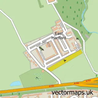
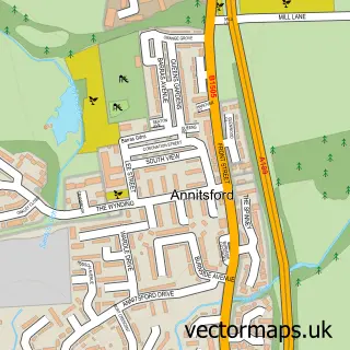
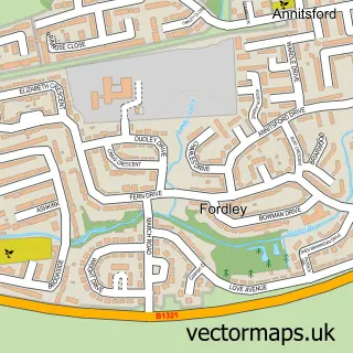
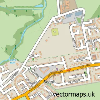
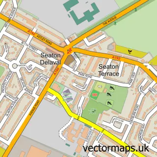
Nearby street map samples around Cramlington

More street maps in Northumberland
750 metre map area coverage
Boundary, postcode and point of interest information for the 750m x 750m rectangle centred on this sample map.
Boundaries containing map centre
Constituency: Cramlington and Killingworth Co Const
District: Northumberland
Icb: NHS North East and North Cumbria ICB
Parish: Cramlington CP
Police Force: northumberland
Postcode District: NE23
Postcode Sector: NE23 6
Nearby boundaries intersecting sample
Postcode Sector: NE23 1, NE23 8
Postcode coverage
POI category counts
Pub: 10
Supermarket: 8
Department Store: 6
Discount Store: 6
Bank Credit Union: 5
Cafe: 5
Coffee Shop: 5
Fast Food Restaurant: 5
Mobile Phone Store: 5
Restaurant: 5
Sample points of interest
- Cashpoint® Dudley Court Manor Walks Shopping Centre
- Cramlington Accident Repair Centre
- Cramlington Ford
- Halfords
- Motability Scheme at Cramlington Ford
- Catling Bakery Ltd
- Cooplands
- Barclays Bank
- HSBC
- Lloyds Bank
- Virgin Money
- Virgin Money
Create a larger editable map of Cramlington
This sample shows only a 750 metre area. To create a larger map of Cramlington, use our map builder to choose your own coverage area, add titles and download editable SVG, PDF and PNG files.
Create a custom map of Cramlington