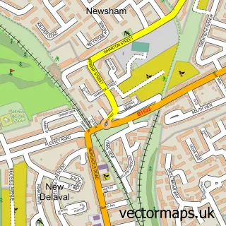
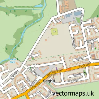
This New Hartley street map is a detailed vector street map covering a 750m x 750m area. Select a larger area to create and download your own vector street map of New Hartley.
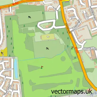
The 750-metre map sample for New Hartley covers 320 mapped buildings and approximately 11.4 km of road detail, of which 22 named roads are named. The immediate area includes 1 school, 2 GP surgeries within 2 miles, 1 pub and 11 MOT stations within 2 miles. The wider area around New Hartley features 1 tourism point of interest and 1 food and drink venue. To create a larger or custom map of New Hartley, the map builder lets you define your own coverage area and download editable SVG, PDF and PNG files.
Create a larger editable map of New Hartley
Choose any area you need and generate a high-quality vector map instantly. Perfect for print, planning, design, business and personal use.

This New Hartley street map in Northumberland is available as downloadable SVG, PDF and PNG map files, or as a printed map for planning, business, display, education, local information and design work. You can also create a larger custom map area using the map selector.
What this New Hartley map sample shows
New Hartley lies within Seaton Valley Cp parish, part of Hartley ward in the Northumberland local authority area. The postcode geography for this area includes the NE postcode area, the NE25 postcode district and the NE25 0 postcode sector. Residents fall under the Nhs North East And North Cumbria Integrated Care Board for NHS services.
Local features near New Hartley
Within 2 milesAmenities and services in and around New Hartley.
Administrative and postcode information for New Hartley
The local authority covering New Hartley is Northumberland, within the county of Northumberland. The settlement lies within Hartley ward and Seaton Valley Cp civil parish. The NE25 postcode district and NE25 0 postcode sector serve the immediate area. NHS provision in the area is delivered through Northumbria Healthcare Nhs Foundation Trust.
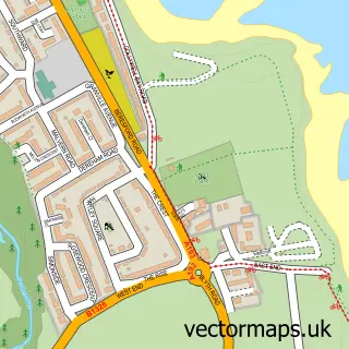
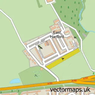
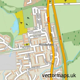
Nearby street map samples around New Hartley

More street maps in Northumberland
750 metre map area coverage
Boundary, postcode and point of interest information for the 750m x 750m rectangle centred on this sample map.
Boundaries containing map centre
Constituency: Cramlington and Killingworth Co Const
District: Northumberland
Icb: NHS North East and North Cumbria ICB
Parish: Seaton Valley CP
Police Force: northumberland
Postcode District: NE25
Postcode Sector: NE25 0
Nearby boundaries intersecting sample
No additional intersecting boundaries found.
Postcode coverage
POI category counts
Beauty Salon: 3
Caterer: 2
Community Center: 2
Convenience Store: 2
Accommodation: 1
Appliance Repair Service: 1
Arts And Entertainment: 1
Bakery: 1
Business: 1
Church Cathedral: 1
Sample points of interest
- New Hartley
- Holywell Electrics Ltd.
- Main Feature Productions
- Little Twins Bakery
- A Million Dreams Hair & Beauty
- Beautology Newcastle
- Phoenix lashes
- A New View
- Jooly Scrumptious
- North East Chilli Festival
- St. Michael and All Angels New Hartley
- New Hartley Community Association
Create a larger editable map of New Hartley
This sample shows only a 750 metre area. To create a larger map of New Hartley, use our map builder to choose your own coverage area, add titles and download editable SVG, PDF and PNG files.
Create a custom map of New Hartley