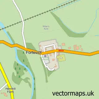
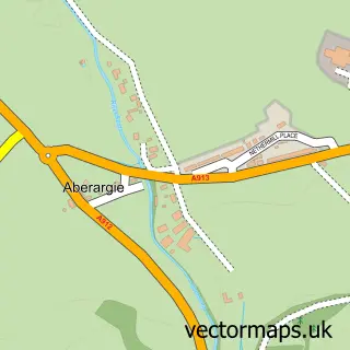
This Forgandenny street map is a detailed vector street map covering a 750m x 750m area. Select a larger area to create and download your own vector street map of Forgandenny.
The 750-metre map sample for Forgandenny covers 103 mapped buildings and approximately 9.0 km of road detail, of which 5 named roads are named. The wider area around Forgandenny features 1 hotel. To create a larger or custom map of Forgandenny, the map builder lets you define your own coverage area and download editable SVG, PDF and PNG files.
Create a larger editable map of Forgandenny
Choose any area you need and generate a high-quality vector map instantly. Perfect for print, planning, design, business and personal use.

This Forgandenny street map in Perth and Kinross is available as downloadable SVG, PDF and PNG map files, or as a printed map for planning, business, display, education, local information and design work. You can also create a larger custom map area using the map selector.
What this Forgandenny map sample shows
Forgandenny lies within Perth And Kinross parish, part of Almond And Earn ward in the Perth And Kinross local authority area. The postcode geography for this area includes the PH postcode area, the PH2 postcode district and the PH2 9 postcode sector. Residents fall under the Tayside for NHS services.
Local features near Forgandenny
Within 2 milesAmenities and services in and around Forgandenny.
Administrative and postcode information for Forgandenny
Forgandenny lies within Perth And Kinross parish, part of Almond And Earn ward in the Perth And Kinross local authority area. The postcode geography for this area includes the PH postcode area, the PH2 postcode district and the PH2 9 postcode sector. Residents fall under the Tayside for NHS services.
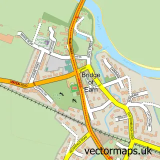
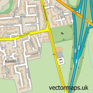
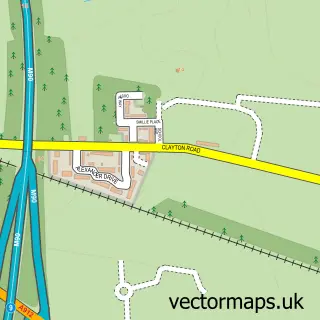
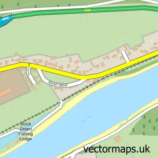
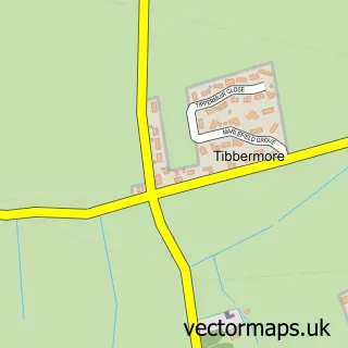
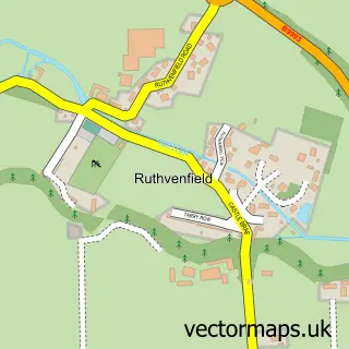
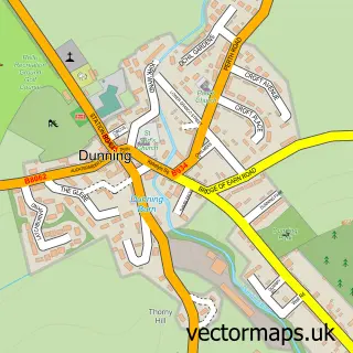
Nearby street map samples around Forgandenny

More street maps in Perth and Kinross
750 metre map area coverage
Boundary, postcode and point of interest information for the 750m x 750m rectangle centred on this sample map.
Boundaries containing map centre
Constituency: Perth and Kinross-shire Co Const
District: Perth and Kinross
Icb: Tayside
Postcode District: PH2
Postcode Sector: PH2 9
Ward: Almond and Earn Ward
Nearby boundaries intersecting sample
No additional intersecting boundaries found.
Postcode coverage
POI category counts
Post Office: 2
Building Contractor: 1
Catholic Church: 1
Elementary School: 1
Event Planning: 1
Financial Advising: 1
High School: 1
Horse Boarding: 1
Hotel: 1
Printing Services: 1
Sample points of interest
- Roland Mitton Stained Glass
- Dunbarney and Forgandenny
- Forgandenny Primary School
- Rossie on the Earn
- Rossie House Investment Management
- Strathallan School
- Kinnaird Farm & Livery
- New County Hotel
- Forgandenny Post Office
- Post Office
- Forgandenny Village Hall
Create a larger editable map of Forgandenny
This sample shows only a 750 metre area. To create a larger map of Forgandenny, use our map builder to choose your own coverage area, add titles and download editable SVG, PDF and PNG files.
Create a custom map of Forgandenny