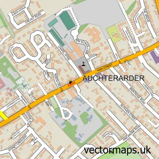
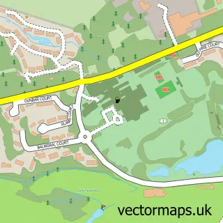
This Dunning street map is a detailed vector street map covering a 750m x 750m area. Select a larger area to create and download your own vector street map of Dunning.
The 750-metre map sample for Dunning covers 269 mapped buildings and approximately 11.3 km of road detail, of which 21 named roads are named. The immediate area includes 2 pubs. The wider area around Dunning features 2 tourism points of interest, 2 food and drink venues and 2 hotels. To create a larger or custom map of Dunning, the map builder lets you define your own coverage area and download editable SVG, PDF and PNG files.
Create a larger editable map of Dunning
Choose any area you need and generate a high-quality vector map instantly. Perfect for print, planning, design, business and personal use.

This Dunning street map in Perth and Kinross is available as downloadable SVG, PDF and PNG map files, or as a printed map for planning, business, display, education, local information and design work. You can also create a larger custom map area using the map selector.
What this Dunning map sample shows
Dunning lies within Perth And Kinross parish, part of Strathallan ward in the Perth And Kinross local authority area. The postcode geography for this area includes the PH postcode area, the PH2 postcode district and the PH2 0 postcode sector. Residents fall under the Tayside for NHS services.
Local features near Dunning
Within 2 milesAmenities and services in and around Dunning.
Administrative and postcode information for Dunning
Dunning lies within Perth And Kinross parish, part of Strathallan ward in the Perth And Kinross local authority area. The postcode geography for this area includes the PH postcode area, the PH2 postcode district and the PH2 0 postcode sector. Residents fall under the Tayside for NHS services.
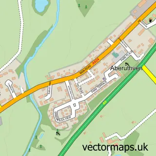
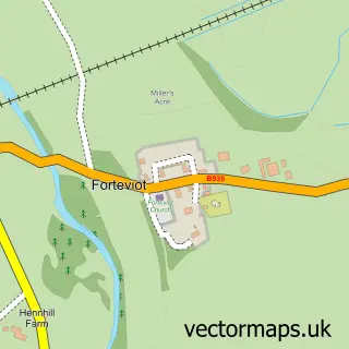
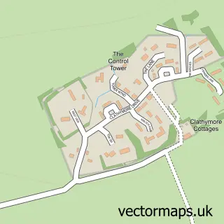
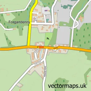
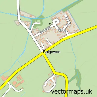
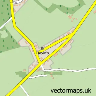
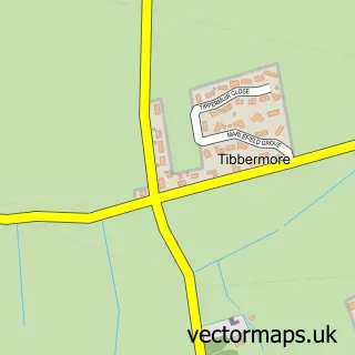
Nearby street map samples around Dunning

More street maps in Perth and Kinross
750 metre map area coverage
Boundary, postcode and point of interest information for the 750m x 750m rectangle centred on this sample map.
Boundaries containing map centre
Constituency: Perth and Kinross-shire Co Const
District: Perth and Kinross
Icb: Tayside
Postcode District: PH2
Postcode Sector: PH2 0
Ward: Strathallan Ward
Nearby boundaries intersecting sample
Postcode Sector: PH2 9
Postcode coverage
POI category counts
Church Cathedral: 3
Hotel: 2
Park: 2
Pub: 2
Assisted Living Facility: 1
Building Supply Store: 1
Butcher Shop: 1
Cabin: 1
Convenience Store: 1
Elementary School: 1
Sample points of interest
- Kippen House
- QTS Contracts
- Simon Howie Butchers
- Mary Mckay
- Aberuthven & Dunning Parish Church
- St Paul's Church
- St Serf's Church
- Nisa Local
- Dunning Primary School
- Western Union
- Stunning Flowers
- Stunning Flowers
Create a larger editable map of Dunning
This sample shows only a 750 metre area. To create a larger map of Dunning, use our map builder to choose your own coverage area, add titles and download editable SVG, PDF and PNG files.
Create a custom map of Dunning