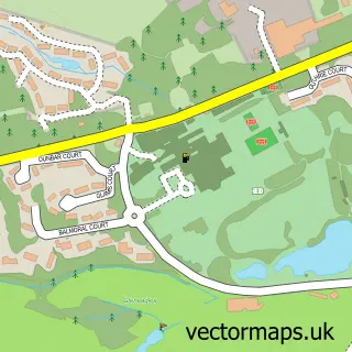
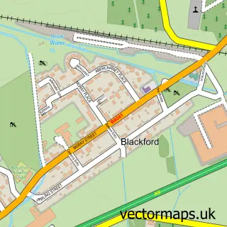
This Aberuthven street map is a detailed vector street map covering a 750m x 750m area. Select a larger area to create and download your own vector street map of Aberuthven.
The 750-metre map sample for Aberuthven covers 86 mapped buildings and approximately 13.0 km of road detail, of which 12 named roads are named. The immediate area includes 1 pub and 1 MOT station. The wider area around Aberuthven features 1 food and drink venue and 2 hotels. To create a larger or custom map of Aberuthven, the map builder lets you define your own coverage area and download editable SVG, PDF and PNG files.
Create a larger editable map of Aberuthven
Choose any area you need and generate a high-quality vector map instantly. Perfect for print, planning, design, business and personal use.

This Aberuthven street map in Perth and Kinross is available as downloadable SVG, PDF and PNG map files, or as a printed map for planning, business, display, education, local information and design work. You can also create a larger custom map area using the map selector.
What this Aberuthven map sample shows
Aberuthven lies within Perth And Kinross parish, part of Strathallan ward in the Perth And Kinross local authority area. The postcode geography for this area includes the PH postcode area, the PH3 postcode district and the PH3 1 postcode sector. Residents fall under the Tayside for NHS services.
Local features near Aberuthven
Within 2 milesAmenities and services in and around Aberuthven.
Administrative and postcode information for Aberuthven
The local authority covering Aberuthven is Perth And Kinross, within the county of Perth And Kinross. The settlement lies within Strathallan ward and Perth And Kinross civil parish. The PH3 postcode district and PH3 1 postcode sector serve the immediate area. NHS provision in the area is delivered through Tayside.
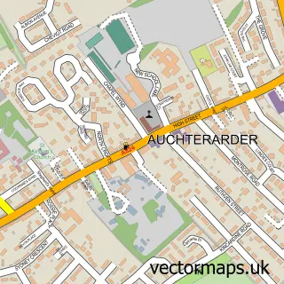
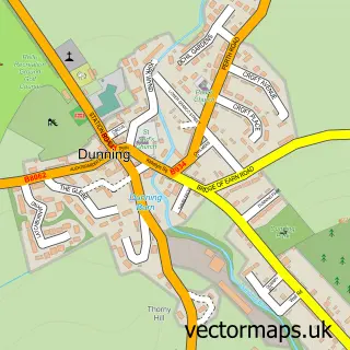
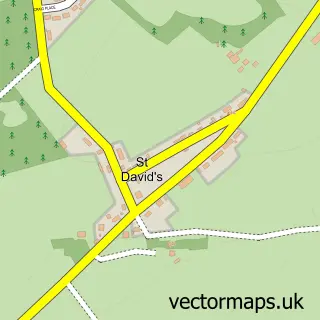
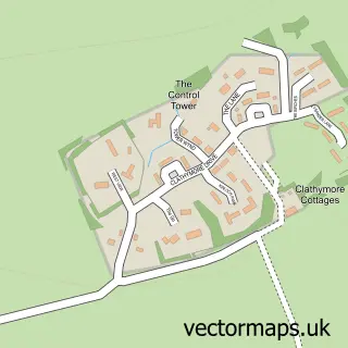
Nearby street map samples around Aberuthven

More street maps in Perth and Kinross
750 metre map area coverage
Boundary, postcode and point of interest information for the 750m x 750m rectangle centred on this sample map.
Boundaries containing map centre
Constituency: Stirling and Strathallan Co Const
District: Perth and Kinross
Icb: Tayside
Postcode District: PH3
Postcode Sector: PH3 1
Ward: Strathallan Ward
Nearby boundaries intersecting sample
Constituency: Perth and Kinross-shire Co Const
Postcode coverage
POI category counts
Hotel: 2
Automotive Repair: 1
Barbecue Restaurant: 1
Beauty And Spa: 1
Bicycle Shop: 1
Building Supply Store: 1
Business To Business Services: 1
Catholic Church: 1
Charity Organization: 1
Church Cathedral: 1
Sample points of interest
- Strathearn Engineering
- The Blue Doo Bbq and Grill
- Yanka Skincare
- Root ev
- C & E Miller
- Alliance Property Services
- Aberuthven and Dunning
- Pain Association Scotland
- Aberuthven Church
- The Highland Pony Society
- Alliance Preservation Scotland
- Doodlebugs Day Nursery
Create a larger editable map of Aberuthven
This sample shows only a 750 metre area. To create a larger map of Aberuthven, use our map builder to choose your own coverage area, add titles and download editable SVG, PDF and PNG files.
Create a custom map of Aberuthven