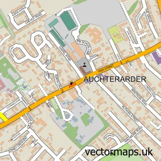
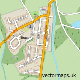
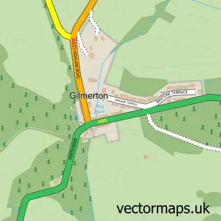
This Gleneagles street map is a detailed vector street map covering a 750m x 750m area. Select a larger area to create and download your own vector street map of Gleneagles.
The 750-metre map sample for Gleneagles covers 45 mapped buildings and approximately 7.6 km of road detail, of which 4 named roads are named. The immediate area includes 1 GP surgery within 2 miles and 3 MOT stations within 2 miles. The wider area around Gleneagles features 2 tourism points of interest, 4 food and drink venues and 1 hotel. To create a larger or custom map of Gleneagles, the map builder lets you define your own coverage area and download editable SVG, PDF and PNG files.
Create a larger editable map of Gleneagles
Choose any area you need and generate a high-quality vector map instantly. Perfect for print, planning, design, business and personal use.

This Gleneagles street map in Perth and Kinross is available as downloadable SVG, PDF and PNG map files, or as a printed map for planning, business, display, education, local information and design work. You can also create a larger custom map area using the map selector.
What this Gleneagles map sample shows
Gleneagles lies within Perth And Kinross parish, part of Strathallan ward in the Perth And Kinross local authority area. The postcode geography for this area includes the PH postcode area, the PH3 postcode district and the PH3 1 postcode sector. Residents fall under the Tayside for NHS services.
Local features near Gleneagles
Within 2 milesAmenities and services in and around Gleneagles.
Administrative and postcode information for Gleneagles
The local authority covering Gleneagles is Perth And Kinross, within the county of Perth And Kinross. The settlement lies within Strathallan ward and Perth And Kinross civil parish. The PH3 postcode district and PH3 1 postcode sector serve the immediate area. NHS provision in the area is delivered through Tayside.
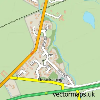
Nearby street map samples around Gleneagles

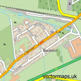
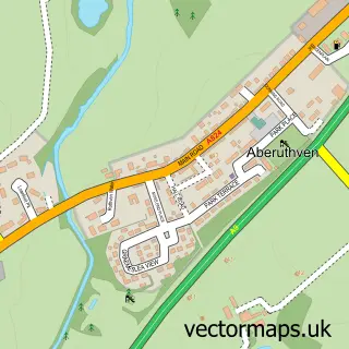
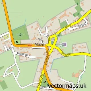
More street maps in Perth and Kinross
750 metre map area coverage
Boundary, postcode and point of interest information for the 750m x 750m rectangle centred on this sample map.
Boundaries containing map centre
Constituency: Stirling and Strathallan Co Const
District: Perth and Kinross
Icb: Tayside
Postcode District: PH3
Postcode Sector: PH3 1
Ward: Strathallan Ward
Nearby boundaries intersecting sample
No additional intersecting boundaries found.
Postcode coverage
POI category counts
Bar: 6
Golf Course: 3
Holiday Rental Home: 3
Restaurant: 3
Active Life: 2
Event Planning: 2
Jewelry Store: 2
Sports Club And League: 2
Amusement Park: 1
Arts And Entertainment: 1
Sample points of interest
- 2014 Ryder Cup. PGA Centenary Course Gleneagles
- Auchterarder Running Festival
- Gleneagles Equestrian School
- Off Road at Gleneagles
- Gleneagles Falconry And Hunting Dog School
- Auchterarder 70
- Auchterarder 70
- The Blue Bar
- The Century Bar
- The Strathearn
- Whitemuir Social Club
- Bob and Cloche
Create a larger editable map of Gleneagles
This sample shows only a 750 metre area. To create a larger map of Gleneagles, use our map builder to choose your own coverage area, add titles and download editable SVG, PDF and PNG files.
Create a custom map of Gleneagles