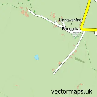
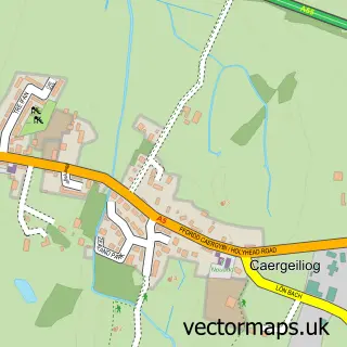
This Four Mile Bridge street map is a detailed vector street map covering a 750m x 750m area. Select a larger area to create and download your own vector street map of Four Mile Bridge.
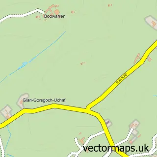
The 750-metre map sample for Four Mile Bridge covers 159 mapped buildings and approximately 6.5 km of road detail, of which 8 named roads are named. The immediate area includes 4 MOT stations within 2 miles. The wider area around Four Mile Bridge features 1 tourism point of interest, 1 hotel and 2 campsites within 2 miles. To create a larger or custom map of Four Mile Bridge, the map builder lets you define your own coverage area and download editable SVG, PDF and PNG files.
Create a larger editable map of Four Mile Bridge
Choose any area you need and generate a high-quality vector map instantly. Perfect for print, planning, design, business and personal use.

This Four Mile Bridge street map in Gwynedd is available as downloadable SVG, PDF and PNG map files, or as a printed map for planning, business, display, education, local information and design work. You can also create a larger custom map area using the map selector.
What this Four Mile Bridge map sample shows
Four Mile Bridge lies within Rhoscolyn Community parish, part of Ynys Gybi ward in the Sir Ynys Mon - Isle Of Anglesey local authority area. Residents fall under the Betsi Cadwaladr University Health Board for NHS services.
Local features near Four Mile Bridge
Within 2 milesAmenities and services in and around Four Mile Bridge.
Administrative and postcode information for Four Mile Bridge
Four Mile Bridge lies within Rhoscolyn Community parish, part of Ynys Gybi ward in the Sir Ynys Mon - Isle Of Anglesey local authority area. Residents fall under the Betsi Cadwaladr University Health Board for NHS services.
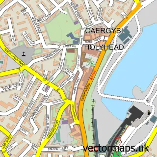
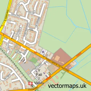
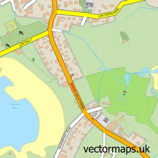
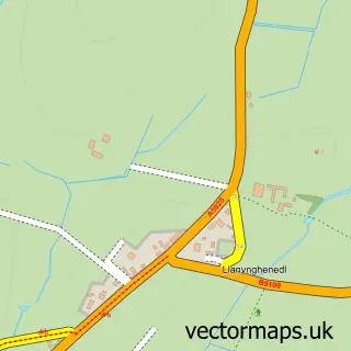
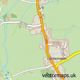
Nearby street map samples around Four Mile Bridge

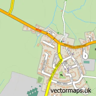
More street maps in Gwynedd
750 metre map area coverage
Boundary, postcode and point of interest information for the 750m x 750m rectangle centred on this sample map.
Boundaries containing map centre
Constituency: Ynys Mon Co Const
District: Sir Ynys Mon - Isle of Anglesey
Icb: Betsi Cadwaladr University
Parish: Rhoscolyn Community
Police Force: north wales
Postcode District: LL65
Postcode Sector: LL65 2
Nearby boundaries intersecting sample
Parish: Valley Community
Postcode Sector: LL65 3
Postcode coverage
POI category counts
Accommodation: 1
Beauty Salon: 1
Bed And Breakfast: 1
Bridge: 1
Gift Shop: 1
Hotel: 1
Landmark And Historical Building: 1
Massage: 1
Massage Therapy: 1
Sample points of interest
- Llareggub
- T4 Hair Studio Unisex Hairdressing
- The Little Boathouse, Holyhead
- Four Mile Bridge Sub Post Office
- Anderson Gallery
- Anchorage Hotel
- Pontrhydybont
- Julie Whall - Fit for Life Massage
- Julie Whall - Fit for Life Massage
Create a larger editable map of Four Mile Bridge
This sample shows only a 750 metre area. To create a larger map of Four Mile Bridge, use our map builder to choose your own coverage area, add titles and download editable SVG, PDF and PNG files.
Create a custom map of Four Mile Bridge