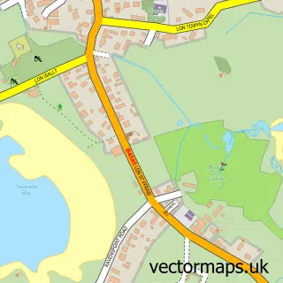
This Y Fali / Valley street map is a detailed vector street map covering a 750m x 750m area. Select a larger area to create and download your own vector street map of Y Fali / Valley.
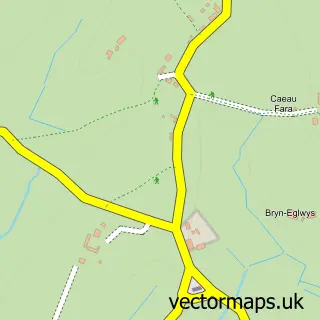
The 750-metre map sample for Y Fali / Valley covers 342 mapped buildings and approximately 14.2 km of road detail, of which 20 named roads are named. The immediate area includes 1 school, 1 railway station and 1 MOT station, with 3 within 2 miles. The wider area around Y Fali / Valley features 1 tourism point of interest, 4 food and drink venues and 2 hotels. To create a larger or custom map of Y Fali / Valley, the map builder lets you define your own coverage area and download editable SVG, PDF and PNG files.
Create a larger editable map of Y Fali / Valley
Choose any area you need and generate a high-quality vector map instantly. Perfect for print, planning, design, business and personal use.

This Y Fali / Valley street map in Gwynedd is available as downloadable SVG, PDF and PNG map files, or as a printed map for planning, business, display, education, local information and design work. You can also create a larger custom map area using the map selector.
What this Y Fali / Valley map sample shows
Y Fali / Valley lies within Valley Community parish, part of Llifon ward in the Sir Ynys Mon - Isle Of Anglesey local authority area. The postcode geography for this area includes the LL postcode area, the LL65 postcode district and the LL65 3 postcode sector. Residents fall under the Betsi Cadwaladr University Health Board for NHS services.
Local features near Y Fali / Valley
Within 2 milesAmenities and services in and around Y Fali / Valley.
Administrative and postcode information for Y Fali / Valley
The local authority covering Y Fali / Valley is Sir Ynys Mon - Isle Of Anglesey, within the county of Gwynedd. The settlement lies within Llifon ward and Valley Community civil parish. The LL65 postcode district and LL65 3 postcode sector serve the immediate area. NHS provision in the area is delivered through Betsi Cadwaladr University Health Board.
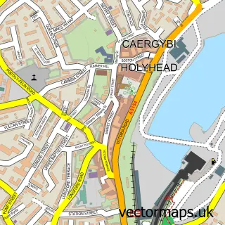
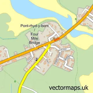
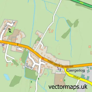
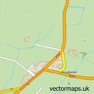
Nearby street map samples around Y Fali / Valley

More street maps in Gwynedd
750 metre map area coverage
Boundary, postcode and point of interest information for the 750m x 750m rectangle centred on this sample map.
Boundaries containing map centre
Constituency: Ynys Mon Co Const
District: Sir Ynys Mon - Isle of Anglesey
Icb: Betsi Cadwaladr University
Parish: Valley Community
Police Force: north wales
Postcode District: LL65
Postcode Sector: LL65 3
Nearby boundaries intersecting sample
No additional intersecting boundaries found.
Postcode coverage
POI category counts
Beauty Salon: 4
Convenience Store: 4
Flowers And Gifts Shop: 4
Contractor: 3
Gas Station: 3
Butcher Shop: 2
Coffee Shop: 2
Driving School: 2
Fish And Chips Restaurant: 2
Hair Salon: 2
Sample points of interest
- Beth Coates Acupuncture
- Socialisation Camps
- BR Spar Valley, Holyhead
- Anglesey Boat Sales
- Moduron Fali Valley Motors
- Bocs Babi
- The Old Bakery
- HSBC Bank
- The flaming grill
- Shan's A5 Barber
- Sianas Beauty Bar
- Denise Evans Hairdressing
Create a larger editable map of Y Fali / Valley
This sample shows only a 750 metre area. To create a larger map of Y Fali / Valley, use our map builder to choose your own coverage area, add titles and download editable SVG, PDF and PNG files.
Create a custom map of Y Fali / Valley