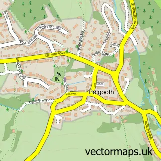
This Foxhole street map is a detailed vector street map covering a 750m x 750m area. Select a larger area to create and download your own vector street map of Foxhole.
The 750-metre map sample for Foxhole covers 290 mapped buildings and approximately 9.7 km of road detail, of which 14 named roads are named. The immediate area includes 1 school, 1 GP surgery within 2 miles and 4 MOT stations within 2 miles. The wider area around Foxhole features 2 tourism points of interest and 2 campsites within 2 miles. To create a larger or custom map of Foxhole, the map builder lets you define your own coverage area and download editable SVG, PDF and PNG files.
Create a larger editable map of Foxhole
Choose any area you need and generate a high-quality vector map instantly. Perfect for print, planning, design, business and personal use.

This Foxhole street map in Cornwall is available as downloadable SVG, PDF and PNG map files, or as a printed map for planning, business, display, education, local information and design work. You can also create a larger custom map area using the map selector.
What this Foxhole map sample shows
Foxhole lies within St. Stephen-In-Brannel Cp parish, part of St Stephen-In-Brannel ward in the Cornwall local authority area. The postcode geography for this area includes the PL postcode area, the PL26 postcode district and the PL26 7 postcode sector. Residents fall under the Nhs Cornwall And The Isles Of Scilly Integrated Care Board for NHS services.
Local features near Foxhole
Within 2 milesAmenities and services in and around Foxhole.
Administrative and postcode information for Foxhole
Foxhole lies within St. Stephen-In-Brannel Cp parish, part of St Stephen-In-Brannel ward in the Cornwall local authority area. The postcode geography for this area includes the PL postcode area, the PL26 postcode district and the PL26 7 postcode sector. Residents fall under the Nhs Cornwall And The Isles Of Scilly Integrated Care Board for NHS services.
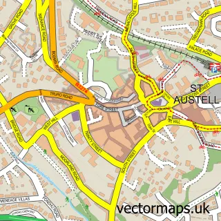
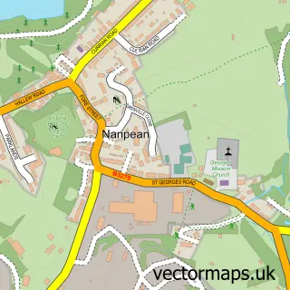
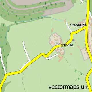
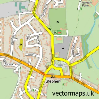
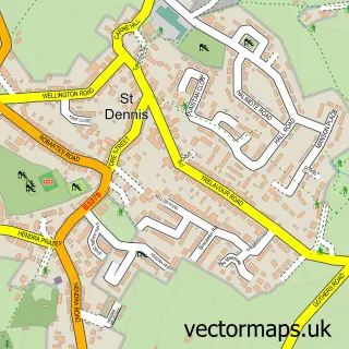
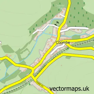
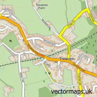
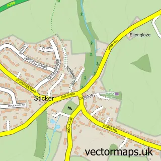
Nearby street map samples around Foxhole

More street maps in Cornwall
750 metre map area coverage
Boundary, postcode and point of interest information for the 750m x 750m rectangle centred on this sample map.
Boundaries containing map centre
Constituency: St. Austell and Newquay Co Const
District: Cornwall
Icb: NHS Cornwall and the Isles of Scilly ICB
Parish: St. Stephen-in-Brannel CP
Police Force: devon and cornwall
Postcode District: PL26
Postcode Sector: PL26 7
Nearby boundaries intersecting sample
No additional intersecting boundaries found.
Postcode coverage
POI category counts
Caterer: 2
Convenience Store: 2
Shipping Center: 2
Animal Shelter: 1
Auto Body Shop: 1
Bar: 1
Doctor: 1
Engineering Services: 1
Landmark And Historical Building: 1
Package Locker: 1
Sample points of interest
- Kernow Kennels
- Dents Auto Repairs
- Foxhole AFC Social Club
- Morlanow Koffi
- Spitting Pig
- Premier
- Premier Foxhole Stores
- Andy's Removals & Storage
- MPS southwest Ltd
- Foxhole, Cornwall
- InPost
- Foxhole Village Green
Create a larger editable map of Foxhole
This sample shows only a 750 metre area. To create a larger map of Foxhole, use our map builder to choose your own coverage area, add titles and download editable SVG, PDF and PNG files.
Create a custom map of Foxhole