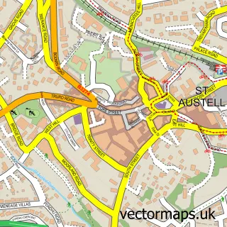
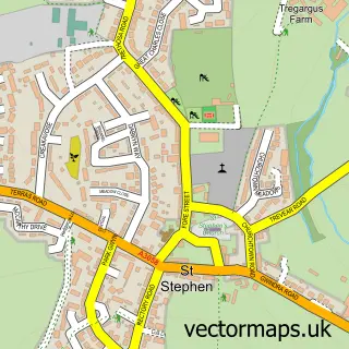
This Polgooth street map is a detailed vector street map covering a 750m x 750m area. Select a larger area to create and download your own vector street map of Polgooth.
The 750-metre map sample for Polgooth covers 376 mapped buildings and approximately 15.4 km of road detail, of which 15 named roads are named. The immediate area includes 1 pub and 9 MOT stations within 2 miles. The wider area around Polgooth features 1 tourism point of interest, 1 food and drink venue and 1 hotel. To create a larger or custom map of Polgooth, the map builder lets you define your own coverage area and download editable SVG, PDF and PNG files.
Create a larger editable map of Polgooth
Choose any area you need and generate a high-quality vector map instantly. Perfect for print, planning, design, business and personal use.

This Polgooth street map in Cornwall is available as downloadable SVG, PDF and PNG map files, or as a printed map for planning, business, display, education, local information and design work. You can also create a larger custom map area using the map selector.
What this Polgooth map sample shows
Polgooth lies within St. Mewan Cp parish, part of St Mewan ward in the Cornwall local authority area. The postcode geography for this area includes the PL postcode area, the PL26 postcode district and the PL26 7 postcode sector. Residents fall under the Nhs Cornwall And The Isles Of Scilly Integrated Care Board for NHS services.
Local features near Polgooth
Within 2 milesAmenities and services in and around Polgooth.
Administrative and postcode information for Polgooth
Polgooth lies within St. Mewan Cp parish, part of St Mewan ward in the Cornwall local authority area. The postcode geography for this area includes the PL postcode area, the PL26 postcode district and the PL26 7 postcode sector. Residents fall under the Nhs Cornwall And The Isles Of Scilly Integrated Care Board for NHS services.
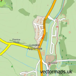
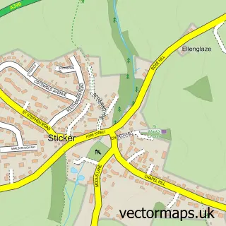
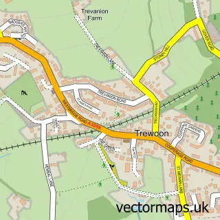
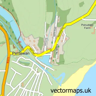
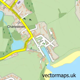
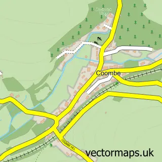
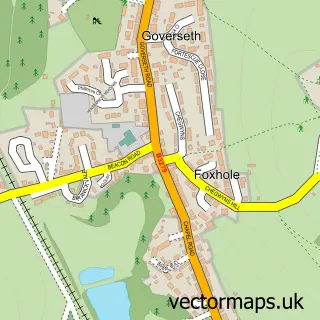
Nearby street map samples around Polgooth

More street maps in Cornwall
750 metre map area coverage
Boundary, postcode and point of interest information for the 750m x 750m rectangle centred on this sample map.
Boundaries containing map centre
Constituency: St. Austell and Newquay Co Const
District: Cornwall
Icb: NHS Cornwall and the Isles of Scilly ICB
Parish: St. Mewan CP
Police Force: devon and cornwall
Postcode District: PL26
Postcode Sector: PL26 7
Nearby boundaries intersecting sample
Parish: Pentewan Valley CP
Postcode coverage
POI category counts
Painting: 2
Post Office: 2
Advertising Agency: 1
Antique Store: 1
Beauty And Spa: 1
Beauty Salon: 1
Bed And Breakfast: 1
Business Management Services: 1
Carpenter: 1
Convenience Store: 1
Sample points of interest
- Boat Chandlers Guide
- R.a Hawke & Co
- Paint & Pout Beauty
- AURA
- Pebbleside Guest Suite
- Bunt R S
- Greenhill Design
- SPAR Polgooth
- A1 Weston School of Motoring
- Greenhill Design
- Polgooth Village Salon
- Lodges at St Margarets Park, Holidays, Cornwall
Create a larger editable map of Polgooth
This sample shows only a 750 metre area. To create a larger map of Polgooth, use our map builder to choose your own coverage area, add titles and download editable SVG, PDF and PNG files.
Create a custom map of Polgooth