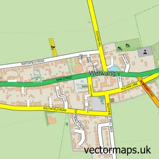
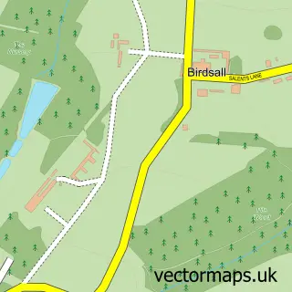
This Fridaythorpe street map is a detailed vector street map covering a 750m x 750m area. Select a larger area to create and download your own vector street map of Fridaythorpe.
The 750-metre map sample for Fridaythorpe covers 152 mapped buildings and approximately 19.7 km of road detail, of which 10 named roads are named. The immediate area includes 2 pubs. The wider area around Fridaythorpe features 2 food and drink venues and 1 campsite within 2 miles. To create a larger or custom map of Fridaythorpe, the map builder lets you define your own coverage area and download editable SVG, PDF and PNG files.
Create a larger editable map of Fridaythorpe
Choose any area you need and generate a high-quality vector map instantly. Perfect for print, planning, design, business and personal use.

This Fridaythorpe street map in East Riding of Yorkshire is available as downloadable SVG, PDF and PNG map files, or as a printed map for planning, business, display, education, local information and design work. You can also create a larger custom map area using the map selector.
What this Fridaythorpe map sample shows
Fridaythorpe lies within Fridaythorpe Cp parish, part of Wolds Weighton ward in the East Riding Of Yorkshire local authority area. The postcode geography for this area includes the YO postcode area, the YO25 postcode district and the YO25 9 postcode sector. Residents fall under the Nhs Humber And North Yorkshire Integrated Care Board for NHS services.
Local features near Fridaythorpe
Within 2 milesAmenities and services in and around Fridaythorpe.
Administrative and postcode information for Fridaythorpe
Fridaythorpe lies within Fridaythorpe Cp parish, part of Wolds Weighton ward in the East Riding Of Yorkshire local authority area. The postcode geography for this area includes the YO postcode area, the YO25 postcode district and the YO25 9 postcode sector. Residents fall under the Nhs Humber And North Yorkshire Integrated Care Board for NHS services.
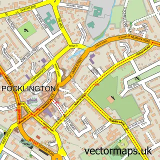
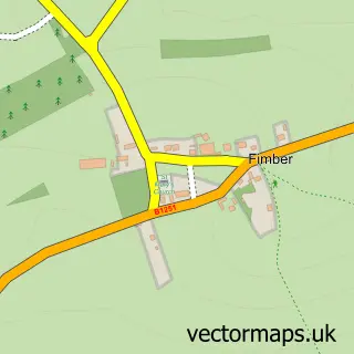
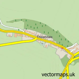
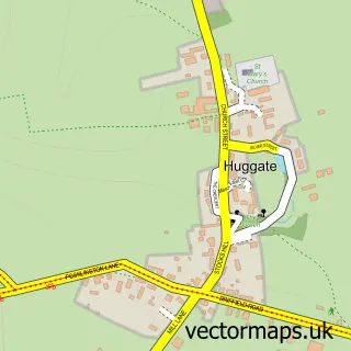
Nearby street map samples around Fridaythorpe

More street maps in East Riding of Yorkshire
750 metre map area coverage
Boundary, postcode and point of interest information for the 750m x 750m rectangle centred on this sample map.
Boundaries containing map centre
Constituency: Bridlington and The Wolds Co Const
District: East Riding of Yorkshire
Icb: NHS Humber and North Yorkshire ICB
Parish: Fridaythorpe CP
Police Force: humberside
Postcode District: YO25
Postcode Sector: YO25 9
Ward: Wolds Weighton Ward
Nearby boundaries intersecting sample
No additional intersecting boundaries found.
Postcode coverage
POI category counts
Pet Store: 2
Pub: 2
Anglican Church: 1
Building Supply Store: 1
Butcher Shop: 1
Clothing Store: 1
Education: 1
Gas Station: 1
Home Health Care: 1
Inn: 1
Sample points of interest
- St Mary's, Fridaythorpe
- AgRepair Mini Digger Hire
- Jeff Boocock & Son
- Cheval Unique
- DLS Education Services
- JB Fuels LTD
- Primary Response Medical Services
- The Manor Inn
- SHIELD Locksmiths
- Star Paws Dog Grooming
- A B Agri
- ABN Feeds
Create a larger editable map of Fridaythorpe
This sample shows only a 750 metre area. To create a larger map of Fridaythorpe, use our map builder to choose your own coverage area, add titles and download editable SVG, PDF and PNG files.
Create a custom map of Fridaythorpe