This Wetwang street map is a detailed vector street map covering a 750m x 750m area. Select a larger area to create and download your own vector street map of Wetwang.
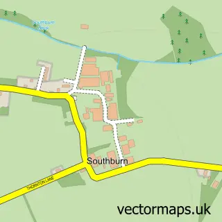
The 750-metre map sample for Wetwang covers 252 mapped buildings and approximately 13.0 km of road detail, of which 15 named roads are named. The immediate area includes 1 school. The wider area around Wetwang features 1 food and drink venue and 1 hotel. To create a larger or custom map of Wetwang, the map builder lets you define your own coverage area and download editable SVG, PDF and PNG files.
Create a larger editable map of Wetwang
Choose any area you need and generate a high-quality vector map instantly. Perfect for print, planning, design, business and personal use.

This Wetwang street map in East Riding of Yorkshire is available as downloadable SVG, PDF and PNG map files, or as a printed map for planning, business, display, education, local information and design work. You can also create a larger custom map area using the map selector.
What this Wetwang map sample shows
Wetwang lies within Wetwang Cp parish, part of Wolds Weighton ward in the East Riding Of Yorkshire local authority area. The postcode geography for this area includes the YO postcode area, the YO25 postcode district and the YO25 9 postcode sector. Residents fall under the Nhs Humber And North Yorkshire Integrated Care Board for NHS services.
Local features near Wetwang
Within 2 milesAmenities and services in and around Wetwang.
Administrative and postcode information for Wetwang
Wetwang lies within Wetwang Cp parish, part of Wolds Weighton ward in the East Riding Of Yorkshire local authority area. The postcode geography for this area includes the YO postcode area, the YO25 postcode district and the YO25 9 postcode sector. Residents fall under the Nhs Humber And North Yorkshire Integrated Care Board for NHS services.
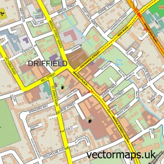
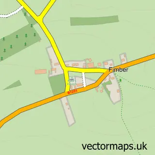
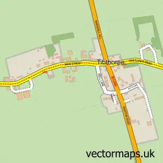
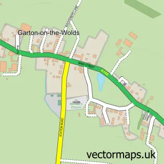
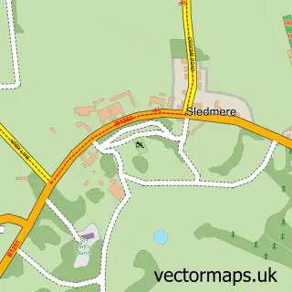
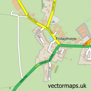
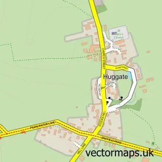
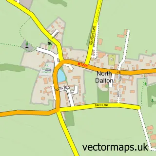
Nearby street map samples around Wetwang

More street maps in East Riding of Yorkshire
750 metre map area coverage
Boundary, postcode and point of interest information for the 750m x 750m rectangle centred on this sample map.
Boundaries containing map centre
Constituency: Bridlington and The Wolds Co Const
District: East Riding of Yorkshire
Icb: NHS Humber and North Yorkshire ICB
Parish: Wetwang CP
Police Force: humberside
Postcode District: YO25
Postcode Sector: YO25 9
Ward: Wolds Weighton Ward
Nearby boundaries intersecting sample
No additional intersecting boundaries found.
Postcode coverage
POI category counts
Fish And Chips Restaurant: 3
Fast Food Restaurant: 2
Furniture Store: 2
Indian Restaurant: 2
Pet Groomer: 2
Anglican Church: 1
Cabin: 1
Car Dealer: 1
College University: 1
Community Center: 1
Sample points of interest
- St Nicholas', Wetwang
- Wetwang Pine & Oak
- Brooklands Garage
- Wetwang University
- Wetwang Community Hall
- Wetwang Surgery
- EJS Electrical
- Wetwang Church of England Primary School
- Wetwang Village Hall
- Harper's fish and chips Wetwang
- Wetwang Chippy
- Deep Blue Fish & Chips
Create a larger editable map of Wetwang
This sample shows only a 750 metre area. To create a larger map of Wetwang, use our map builder to choose your own coverage area, add titles and download editable SVG, PDF and PNG files.
Create a custom map of Wetwang