This Fringford street map is a detailed vector street map covering a 750m x 750m area. Select a larger area to create and download your own vector street map of Fringford.
The 750-metre map sample for Fringford covers 194 mapped buildings and approximately 25.6 km of road detail, of which 12 named roads are named. The immediate area includes 1 school and 1 pub. The wider area around Fringford features 1 tourism point of interest and 1 food and drink venue. To create a larger or custom map of Fringford, the map builder lets you define your own coverage area and download editable SVG, PDF and PNG files.
Create a larger editable map of Fringford
Choose any area you need and generate a high-quality vector map instantly. Perfect for print, planning, design, business and personal use.

This Fringford street map in Oxfordshire is available as downloadable SVG, PDF and PNG map files, or as a printed map for planning, business, display, education, local information and design work. You can also create a larger custom map area using the map selector.
What this Fringford map sample shows
Fringford lies within Fringford Cp parish, part of Fringford And Heyfords ward in the Cherwell District local authority area. The postcode geography for this area includes the OX postcode area, the OX27 postcode district and the OX27 8 postcode sector. Residents fall under the Nhs Buckinghamshire, Oxfordshire And Berkshire West Integrated Care Board for NHS services.
Local features near Fringford
Within 2 milesAmenities and services in and around Fringford.
Administrative and postcode information for Fringford
The local authority covering Fringford is Cherwell District, within the county of Oxfordshire. The settlement lies within Fringford And Heyfords ward and Fringford Cp civil parish. The OX27 postcode district and OX27 8 postcode sector serve the immediate area. NHS provision in the area is delivered through Oxford University Hospitals Nhs Foundation Trust.
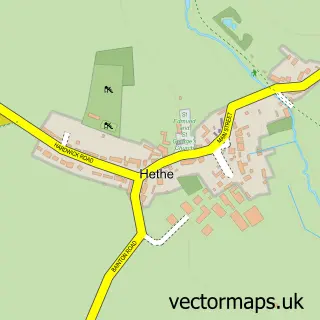
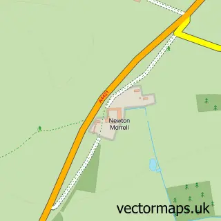
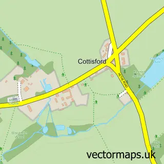
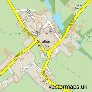
Nearby street map samples around Fringford


More street maps in Oxfordshire
750 metre map area coverage
Boundary, postcode and point of interest information for the 750m x 750m rectangle centred on this sample map.
Boundaries containing map centre
Constituency: Bicester and Woodstock Co Const
County: Oxfordshire County
District: Cherwell District
Icb: NHS Thames Valley ICB
Parish: Fringford CP
Police Force: thames valley
Postcode District: OX27
Postcode Sector: OX27 8
Ward: Fringford & Heyfords Ward
Nearby boundaries intersecting sample
Parish: Hethe CP
Postcode coverage
POI category counts
Roofing: 2
Yoga Studio: 2
Amusement Park: 1
Anglican Church: 1
Bakery: 1
Ceiling Service: 1
Community Center: 1
Cricket Ground: 1
Dog Trainer: 1
Elementary School: 1
Sample points of interest
- Golden Stirrup- Horse Grooming products.
- Fringford, St. Michael and All Angels
- The cake house
- Neil Painting Master Thatcher Ltd.
- Fringford Village Hall
- Fringford Cricket Club
- Kimboco Company of Dog Training
- Fringford Church of England Primary School
- Green Farm Shop
- Integral Oxford Ltd.
- Fringford Feeds
- Shelswell & Fringford Pre School Playgroup
Create a larger editable map of Fringford
This sample shows only a 750 metre area. To create a larger map of Fringford, use our map builder to choose your own coverage area, add titles and download editable SVG, PDF and PNG files.
Create a custom map of Fringford