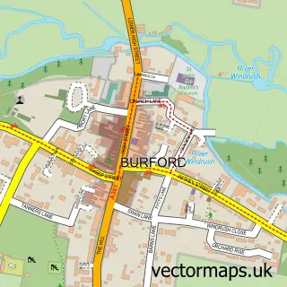
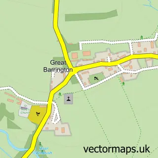
This Fulbrook street map is a detailed vector street map covering a 750m x 750m area. Select a larger area to create and download your own vector street map of Fulbrook.
The 750-metre map sample for Fulbrook covers 164 mapped buildings and approximately 18.4 km of road detail, of which 8 named roads are named. The immediate area includes 1 GP surgery within 2 miles and 1 pub. The wider area around Fulbrook features 1 food and drink venue and 1 campsite within 2 miles. To create a larger or custom map of Fulbrook, the map builder lets you define your own coverage area and download editable SVG, PDF and PNG files.
Create a larger editable map of Fulbrook
Choose any area you need and generate a high-quality vector map instantly. Perfect for print, planning, design, business and personal use.

This Fulbrook street map in Oxfordshire is available as downloadable SVG, PDF and PNG map files, or as a printed map for planning, business, display, education, local information and design work. You can also create a larger custom map area using the map selector.
What this Fulbrook map sample shows
Fulbrook lies within Fulbrook Cp parish, part of Burford ward in the West Oxfordshire District local authority area. The postcode geography for this area includes the OX postcode area, the OX18 postcode district and the OX18 4 postcode sector. Residents fall under the Nhs Buckinghamshire, Oxfordshire And Berkshire West Integrated Care Board for NHS services.
Local features near Fulbrook
Within 2 milesAmenities and services in and around Fulbrook.
Administrative and postcode information for Fulbrook
Fulbrook lies within Fulbrook Cp parish, part of Burford ward in the West Oxfordshire District local authority area. The postcode geography for this area includes the OX postcode area, the OX18 postcode district and the OX18 4 postcode sector. Residents fall under the Nhs Buckinghamshire, Oxfordshire And Berkshire West Integrated Care Board for NHS services.
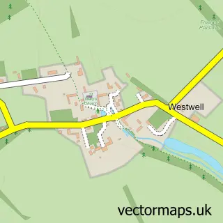
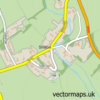
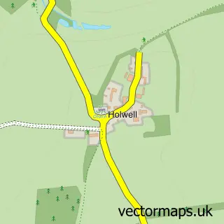
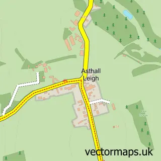
Nearby street map samples around Fulbrook

More street maps in Oxfordshire
750 metre map area coverage
Boundary, postcode and point of interest information for the 750m x 750m rectangle centred on this sample map.
Boundaries containing map centre
Constituency: Witney Co Const
County: Oxfordshire County
District: West Oxfordshire District
Icb: NHS Thames Valley ICB
Parish: Fulbrook CP
Police Force: thames valley
Postcode District: OX18
Postcode Sector: OX18 4
Ward: Burford Ward
Nearby boundaries intersecting sample
No additional intersecting boundaries found.
Postcode coverage
POI category counts
Anglican Church: 2
Bed And Breakfast: 2
Appliance Store: 1
Art Restoration Service: 1
Automotive Repair: 1
Building Supply Store: 1
Cosmetic And Beauty Supplies: 1
Event Planning: 1
Financial Advising: 1
Furniture Store: 1
Sample points of interest
- Fulbrook St James the Great
- St James the Great
- Cookers & Co.
- Claire Milner
- Martin Chisholm
- Pytts House
- Star Cottage
- GNC Engineering Ltd
- A-Mia Nutritional Beauty
- Sofie Enterprises
- Philip James Financial Services
- Just Fabrics Curtain Workshop
Create a larger editable map of Fulbrook
This sample shows only a 750 metre area. To create a larger map of Fulbrook, use our map builder to choose your own coverage area, add titles and download editable SVG, PDF and PNG files.
Create a custom map of Fulbrook