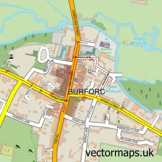
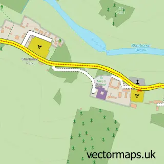
This Great Barrington street map is a detailed vector street map covering a 750m x 750m area. Select a larger area to create and download your own vector street map of Great Barrington.
The 750-metre map sample for Great Barrington covers 63 mapped buildings and approximately 8.7 km of road detail. The immediate area includes 1 MOT station within 2 miles. To create a larger or custom map of Great Barrington, the map builder lets you define your own coverage area and download editable SVG, PDF and PNG files.
Create a larger editable map of Great Barrington
Choose any area you need and generate a high-quality vector map instantly. Perfect for print, planning, design, business and personal use.

This Great Barrington street map in Gloucestershire is available as downloadable SVG, PDF and PNG map files, or as a printed map for planning, business, display, education, local information and design work. You can also create a larger custom map area using the map selector.
What this Great Barrington map sample shows
Great Barrington lies within Barrington Cp parish, part of Northleach ward in the Cotswold District local authority area. The postcode geography for this area includes the OX postcode area, the OX18 postcode district and the OX18 4 postcode sector. Residents fall under the Nhs Gloucestershire Integrated Care Board for NHS services.
Local features near Great Barrington
Within 2 milesAmenities and services in and around Great Barrington.
Administrative and postcode information for Great Barrington
The local authority covering Great Barrington is Cotswold District, within the county of Gloucestershire. The settlement lies within Northleach ward and Barrington Cp civil parish. The OX18 postcode district and OX18 4 postcode sector serve the immediate area. NHS provision in the area is delivered through Gloucestershire Hospitals Nhs Foundation Trust.
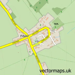
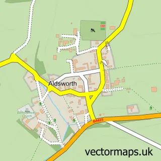
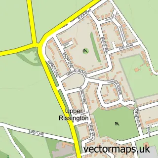
Nearby street map samples around Great Barrington

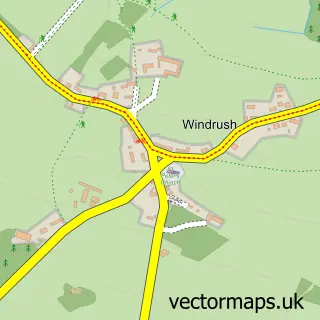
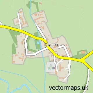
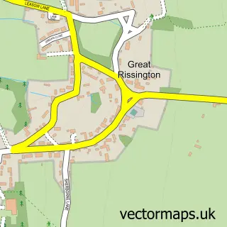
More street maps in Gloucestershire
750 metre map area coverage
Boundary, postcode and point of interest information for the 750m x 750m rectangle centred on this sample map.
Boundaries containing map centre
Constituency: North Cotswolds Co Const
County: Gloucestershire County
District: Cotswold District
Icb: NHS Gloucestershire ICB
Parish: Barrington CP
Police Force: gloucestershire
Postcode District: OX18
Postcode Sector: OX18 4
Ward: Northleach Ward
Nearby boundaries intersecting sample
No additional intersecting boundaries found.
Postcode coverage
POI category counts
Beer Wine And Spirits: 2
Preschool: 2
Anglican Church: 1
Education: 1
Electrician: 1
Farm: 1
Financial Advising: 1
Nursery And Gardening: 1
Saw Mill: 1
Sample points of interest
- St Mary
- The Cardinal's Cellar
- The Cardinal's Cellar
- Presentation Maestro
- Gresham House - Oxford
- Barrington Park Estate
- Fim Services
- Great Barrington
- Cotswold Montessori Preschool and Daycare
- Cotswold Montessori School
- Stuart Ferris
Create a larger editable map of Great Barrington
This sample shows only a 750 metre area. To create a larger map of Great Barrington, use our map builder to choose your own coverage area, add titles and download editable SVG, PDF and PNG files.
Create a custom map of Great Barrington