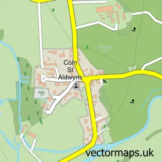
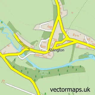
This Aldsworth street map is a detailed vector street map covering a 750m x 750m area. Select a larger area to create and download your own vector street map of Aldsworth.
The 750-metre map sample for Aldsworth covers 97 mapped buildings and approximately 27.4 km of road detail, of which 2 named roads are named. The immediate area includes 1 pub. The wider area around Aldsworth features 1 food and drink venue. To create a larger or custom map of Aldsworth, the map builder lets you define your own coverage area and download editable SVG, PDF and PNG files.
Create a larger editable map of Aldsworth
Choose any area you need and generate a high-quality vector map instantly. Perfect for print, planning, design, business and personal use.

This Aldsworth street map in Gloucestershire is available as downloadable SVG, PDF and PNG map files, or as a printed map for planning, business, display, education, local information and design work. You can also create a larger custom map area using the map selector.
What this Aldsworth map sample shows
Aldsworth lies within Aldsworth Cp parish, part of Northleach ward in the Cotswold District local authority area. The postcode geography for this area includes the GL postcode area, the GL54 postcode district and the GL54 3 postcode sector. Residents fall under the Nhs Gloucestershire Integrated Care Board for NHS services.
Local features near Aldsworth
Within 2 milesAmenities and services in and around Aldsworth.
Administrative and postcode information for Aldsworth
Aldsworth lies within Aldsworth Cp parish, part of Northleach ward in the Cotswold District local authority area. The postcode geography for this area includes the GL postcode area, the GL54 postcode district and the GL54 3 postcode sector. Residents fall under the Nhs Gloucestershire Integrated Care Board for NHS services.
Nearby street map samples around Aldsworth

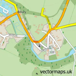
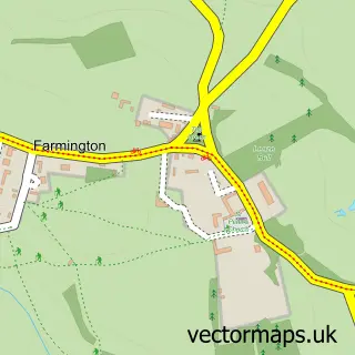
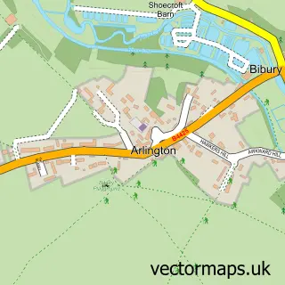
More street maps in Gloucestershire
750 metre map area coverage
Boundary, postcode and point of interest information for the 750m x 750m rectangle centred on this sample map.
Boundaries containing map centre
Constituency: North Cotswolds Co Const
County: Gloucestershire County
District: Cotswold District
Icb: NHS Gloucestershire ICB
Parish: Aldsworth CP
Police Force: gloucestershire
Postcode District: GL54
Postcode Sector: GL54 3
Ward: Northleach Ward
Nearby boundaries intersecting sample
No additional intersecting boundaries found.
Postcode coverage
POI category counts
Anglican Church: 1
Event Technology Service: 1
Horse Boarding: 1
Post Office: 1
Professional Services: 1
Property Management: 1
Pub: 1
Toy Store: 1
Water Heater Installation Repair: 1
Sample points of interest
- St Bartholomew
- Henry Bonas
- Ken Gamble International Horse Transport Limited
- Aldsworth Post Office
- Semantic Consultancy
- Cotswold Property Manager
- Sherborne Arms
- Cotswoldsport
- LG Heating Solutions
Create a larger editable map of Aldsworth
This sample shows only a 750 metre area. To create a larger map of Aldsworth, use our map builder to choose your own coverage area, add titles and download editable SVG, PDF and PNG files.
Create a custom map of Aldsworth