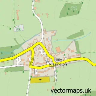
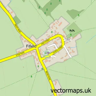
This Great Rissington street map is a detailed vector street map covering a 750m x 750m area. Select a larger area to create and download your own vector street map of Great Rissington.
The 750-metre map sample for Great Rissington covers 170 mapped buildings and approximately 15.4 km of road detail, of which 4 named roads are named. The immediate area includes 1 school and 2 pubs. The wider area around Great Rissington features 1 tourism point of interest and 2 food and drink venues. To create a larger or custom map of Great Rissington, the map builder lets you define your own coverage area and download editable SVG, PDF and PNG files.
Create a larger editable map of Great Rissington
Choose any area you need and generate a high-quality vector map instantly. Perfect for print, planning, design, business and personal use.

This Great Rissington street map in Gloucestershire is available as downloadable SVG, PDF and PNG map files, or as a printed map for planning, business, display, education, local information and design work. You can also create a larger custom map area using the map selector.
What this Great Rissington map sample shows
Great Rissington lies within Great Rissington Cp parish, part of The Rissingtons ward in the Cotswold District local authority area. The postcode geography for this area includes the GL postcode area, the GL54 postcode district and the GL54 2 postcode sector. Residents fall under the Nhs Gloucestershire Integrated Care Board for NHS services.
Local features near Great Rissington
Within 2 milesAmenities and services in and around Great Rissington.
Administrative and postcode information for Great Rissington
Great Rissington lies within Great Rissington Cp parish, part of The Rissingtons ward in the Cotswold District local authority area. The postcode geography for this area includes the GL postcode area, the GL54 postcode district and the GL54 2 postcode sector. Residents fall under the Nhs Gloucestershire Integrated Care Board for NHS services.
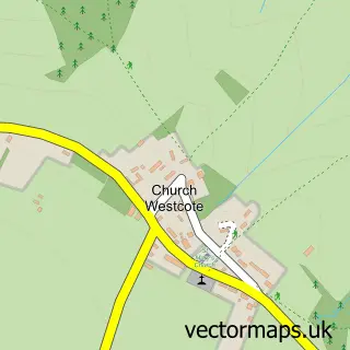
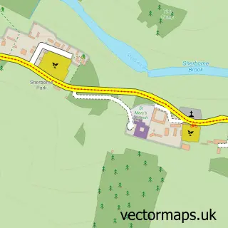
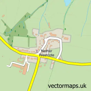
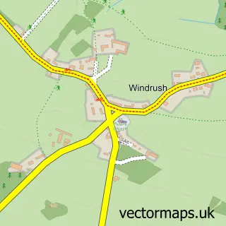
Nearby street map samples around Great Rissington

More street maps in Gloucestershire
750 metre map area coverage
Boundary, postcode and point of interest information for the 750m x 750m rectangle centred on this sample map.
Boundaries containing map centre
Constituency: North Cotswolds Co Const
County: Gloucestershire County
District: Cotswold District
Icb: NHS Gloucestershire ICB
Parish: Great Rissington CP
Police Force: gloucestershire
Postcode District: GL54
Postcode Sector: GL54 2
Ward: The Rissingtons Ward
Nearby boundaries intersecting sample
No additional intersecting boundaries found.
Postcode coverage
POI category counts
Bar: 2
Elementary School: 2
Pub: 2
Advertising Agency: 1
Automotive Repair: 1
Business Management Services: 1
Cricket Ground: 1
Funeral Services And Cemeteries: 1
Jewelry Store: 1
Naturopathic Holistic: 1
Sample points of interest
- Golf Unlimited
- The Workshop
- Great Rissington Club
- Peggs Press
- Camilla Bellord Interiors
- Great Rissington Cricket Club
- Great Rissington Primary School
- The Rissington Primary School
- Carved Lettering
- AGJ Fleming
- Anne McIntyre FNIMH MAPA
- Lodge Park
Create a larger editable map of Great Rissington
This sample shows only a 750 metre area. To create a larger map of Great Rissington, use our map builder to choose your own coverage area, add titles and download editable SVG, PDF and PNG files.
Create a custom map of Great Rissington