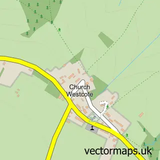
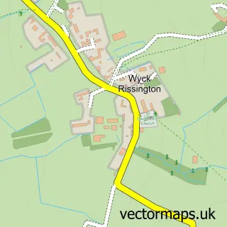
This Nether Westcote street map is a detailed vector street map covering a 750m x 750m area. Select a larger area to create and download your own vector street map of Nether Westcote.
The 750-metre map sample for Nether Westcote covers 71 mapped buildings and approximately 9.9 km of road detail. To create a larger or custom map of Nether Westcote, the map builder lets you define your own coverage area and download editable SVG, PDF and PNG files.
Create a larger editable map of Nether Westcote
Choose any area you need and generate a high-quality vector map instantly. Perfect for print, planning, design, business and personal use.

This Nether Westcote street map in Gloucestershire is available as downloadable SVG, PDF and PNG map files, or as a printed map for planning, business, display, education, local information and design work. You can also create a larger custom map area using the map selector.
What this Nether Westcote map sample shows
Nether Westcote lies within Westcote Cp parish, part of Fosseridge ward in the Cotswold District local authority area. The postcode geography for this area includes the OX postcode area, the OX7 postcode district and the OX7 6 postcode sector. Residents fall under the Nhs Gloucestershire Integrated Care Board for NHS services.
Administrative and postcode information for Nether Westcote
The local authority covering Nether Westcote is Cotswold District, within the county of Gloucestershire. The settlement lies within Fosseridge ward and Westcote Cp civil parish. The OX7 postcode district and OX7 6 postcode sector serve the immediate area. NHS provision in the area is delivered through Gloucestershire Hospitals Nhs Foundation Trust.
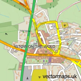
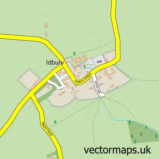
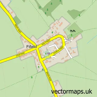
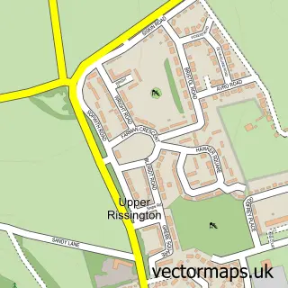
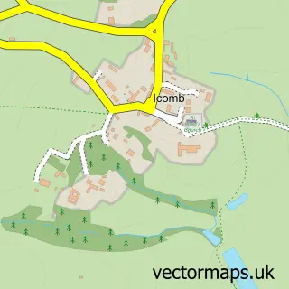
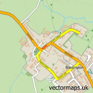
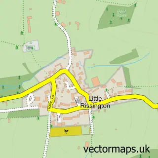
Nearby street map samples around Nether Westcote

More street maps in Gloucestershire
750 metre map area coverage
Boundary, postcode and point of interest information for the 750m x 750m rectangle centred on this sample map.
Boundaries containing map centre
Constituency: North Cotswolds Co Const
County: Gloucestershire County
District: Cotswold District
Icb: NHS Gloucestershire ICB
Parish: Westcote CP
Police Force: gloucestershire
Postcode District: OX7
Postcode Sector: OX7 6
Ward: Fosseridge Ward
Nearby boundaries intersecting sample
Constituency: Witney Co Const
County: Oxfordshire County
District: West Oxfordshire District
Icb: NHS Thames Valley ICB
Parish: Idbury CP
Police Force: thames valley
Ward: Milton-under-Wychwood Ward
Postcode coverage
POI category counts
Fitness Trainer: 1
Inn: 1
Web Designer: 1
Sample points of interest
- Karin Major - Horse & Rider Connection Coach
- The Feathered Nest Country Inn
- Naturally Minded Business Growth
Create a larger editable map of Nether Westcote
This sample shows only a 750 metre area. To create a larger map of Nether Westcote, use our map builder to choose your own coverage area, add titles and download editable SVG, PDF and PNG files.
Create a custom map of Nether Westcote