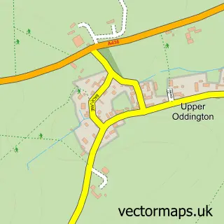
This Bledington street map is a detailed vector street map covering a 750m x 750m area. Select a larger area to create and download your own vector street map of Bledington.
The 750-metre map sample for Bledington covers 173 mapped buildings and approximately 14.0 km of road detail, of which 10 named roads are named. The immediate area includes 1 school and 2 pubs. The wider area around Bledington features 3 food and drink venues and 1 hotel. To create a larger or custom map of Bledington, the map builder lets you define your own coverage area and download editable SVG, PDF and PNG files.
Create a larger editable map of Bledington
Choose any area you need and generate a high-quality vector map instantly. Perfect for print, planning, design, business and personal use.

This Bledington street map in Gloucestershire is available as downloadable SVG, PDF and PNG map files, or as a printed map for planning, business, display, education, local information and design work. You can also create a larger custom map area using the map selector.
What this Bledington map sample shows
Bledington lies within Bledington Cp parish, part of Fosseridge ward in the Cotswold District local authority area. The postcode geography for this area includes the OX postcode area, the OX7 postcode district and the OX7 6 postcode sector. Residents fall under the Nhs Gloucestershire Integrated Care Board for NHS services.
Local features near Bledington
Within 2 milesAmenities and services in and around Bledington.
Administrative and postcode information for Bledington
Bledington lies within Bledington Cp parish, part of Fosseridge ward in the Cotswold District local authority area. The postcode geography for this area includes the OX postcode area, the OX7 postcode district and the OX7 6 postcode sector. Residents fall under the Nhs Gloucestershire Integrated Care Board for NHS services.
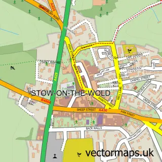
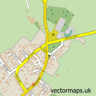
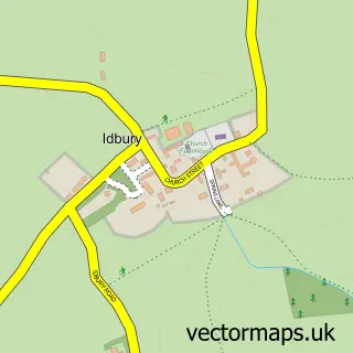
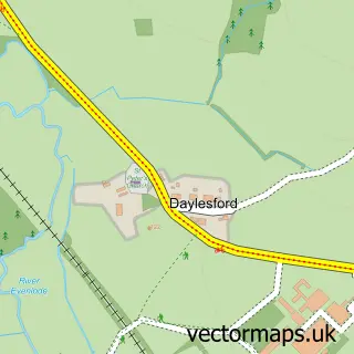
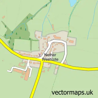
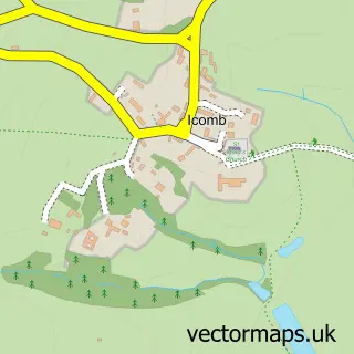
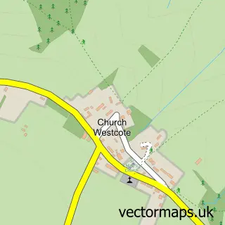
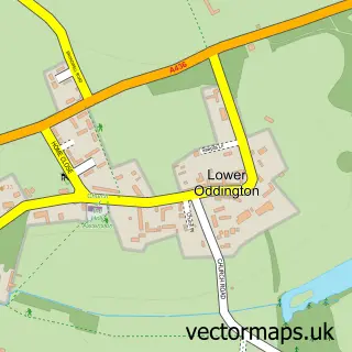
Nearby street map samples around Bledington

More street maps in Gloucestershire
750 metre map area coverage
Boundary, postcode and point of interest information for the 750m x 750m rectangle centred on this sample map.
Boundaries containing map centre
Constituency: North Cotswolds Co Const
County: Gloucestershire County
District: Cotswold District
Icb: NHS Gloucestershire ICB
Parish: Bledington CP
Police Force: gloucestershire
Postcode District: OX7
Postcode Sector: OX7 6
Ward: Fosseridge Ward
Nearby boundaries intersecting sample
No additional intersecting boundaries found.
Postcode coverage
POI category counts
Post Office: 2
Pub: 2
Anglican Church: 1
Arts And Entertainment: 1
Bed And Breakfast: 1
Cafe: 1
Church Cathedral: 1
Cleaning Services: 1
Elementary School: 1
Gardener: 1
Sample points of interest
- St Leonard, Bledington
- Bledington Music Festival
- Rose Cottage
- Bledington Community Shop and Cafe
- St Leonard's Church
- BND Cleaning Services
- Bledington Primary School
- David Pearson Landscaping
- Mel Gorton Registered Childminder
- Pear Tree Cottage
- Bledington Community Shop And Cafe
- Bledlington Post Office
Create a larger editable map of Bledington
This sample shows only a 750 metre area. To create a larger map of Bledington, use our map builder to choose your own coverage area, add titles and download editable SVG, PDF and PNG files.
Create a custom map of Bledington