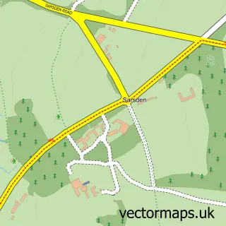
This Kingham street map is a detailed vector street map covering a 750m x 750m area. Select a larger area to create and download your own vector street map of Kingham.
The 750-metre map sample for Kingham covers 213 mapped buildings and approximately 24.3 km of road detail, of which 13 named roads are named. The immediate area includes 1 school, 2 pubs and 1 MOT station within 2 miles. The wider area around Kingham features 2 tourism points of interest, 2 food and drink venues and 3 hotels. To create a larger or custom map of Kingham, the map builder lets you define your own coverage area and download editable SVG, PDF and PNG files.
Create a larger editable map of Kingham
Choose any area you need and generate a high-quality vector map instantly. Perfect for print, planning, design, business and personal use.

This Kingham street map in Oxfordshire is available as downloadable SVG, PDF and PNG map files, or as a printed map for planning, business, display, education, local information and design work. You can also create a larger custom map area using the map selector.
What this Kingham map sample shows
Kingham lies within Kingham Cp parish, part of Kingham, Rollright And Enstone ward in the West Oxfordshire District local authority area. The postcode geography for this area includes the OX postcode area, the OX7 postcode district and the OX7 6 postcode sector. Residents fall under the Nhs Buckinghamshire, Oxfordshire And Berkshire West Integrated Care Board for NHS services.
Local features near Kingham
Within 2 milesAmenities and services in and around Kingham.
Administrative and postcode information for Kingham
The local authority covering Kingham is West Oxfordshire District, within the county of Oxfordshire. The settlement lies within Kingham, Rollright And Enstone ward and Kingham Cp civil parish. The OX7 postcode district and OX7 6 postcode sector serve the immediate area. NHS provision in the area is delivered through Oxford University Hospitals Nhs Foundation Trust.
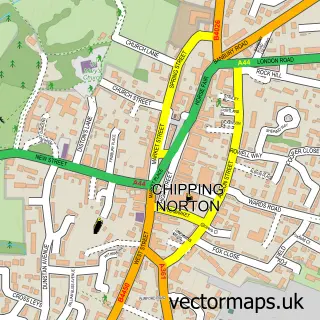
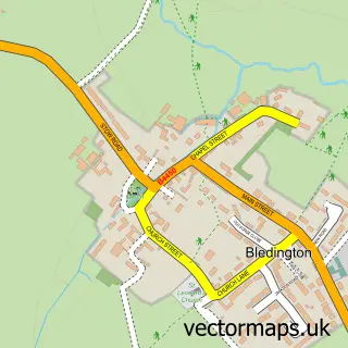
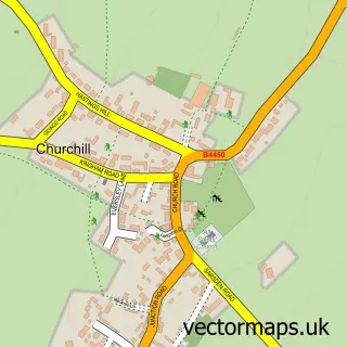
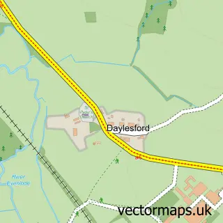
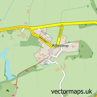
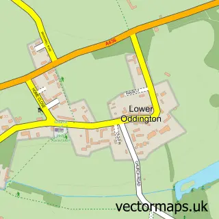
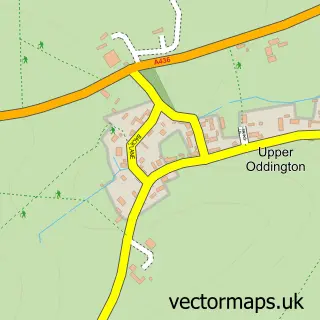
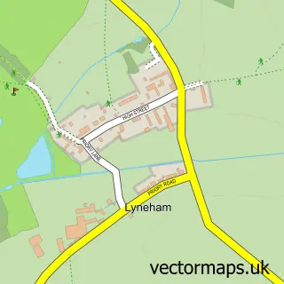
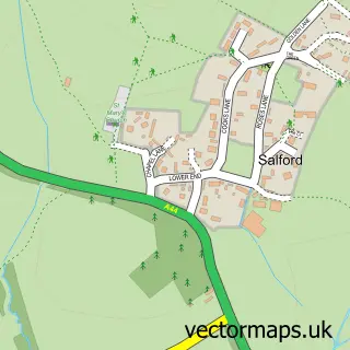
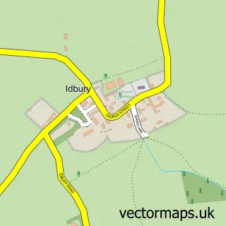
Nearby street map samples around Kingham

More street maps in Oxfordshire
750 metre map area coverage
Boundary, postcode and point of interest information for the 750m x 750m rectangle centred on this sample map.
Boundaries containing map centre
Constituency: Banbury Co Const
County: Oxfordshire County
District: West Oxfordshire District
Icb: NHS Thames Valley ICB
Parish: Kingham CP
Police Force: thames valley
Postcode District: OX7
Postcode Sector: OX7 6
Ward: Kingham, Rollright and Enstone Ward
Nearby boundaries intersecting sample
No additional intersecting boundaries found.
Postcode coverage
POI category counts
Hotel: 3
Pub: 2
Attractions And Activities: 1
Building Contractor: 1
Business To Business Services: 1
Community Center: 1
Community Services Non Profits: 1
Convenience Store: 1
Education: 1
Elementary School: 1
Sample points of interest
- Kingham Lodge
- Acorn Building Services
- Archer Yates Associates Ltd.
- Kingham Village Hall
- Rafiki Thabo Foundation
- Kingham Village Store
- Solutions by Interact
- Kingham Primary School
- Westcote Design
- Caught in the Act
- A Truly Stunning Cotswolds Escape
- Kingham Cottages
Create a larger editable map of Kingham
This sample shows only a 750 metre area. To create a larger map of Kingham, use our map builder to choose your own coverage area, add titles and download editable SVG, PDF and PNG files.
Create a custom map of Kingham