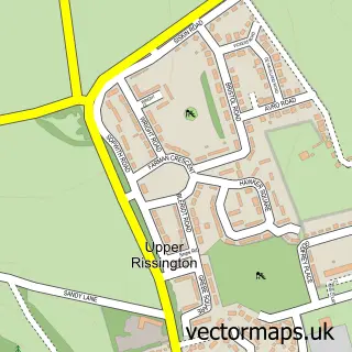
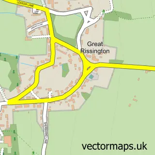
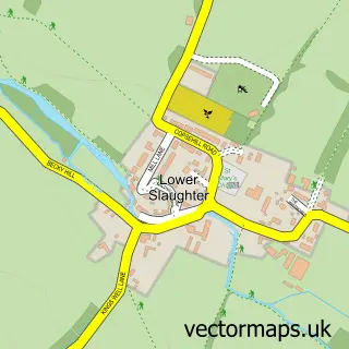
This Little Rissington street map is a detailed vector street map covering a 750m x 750m area. Select a larger area to create and download your own vector street map of Little Rissington.
The 750-metre map sample for Little Rissington covers 123 mapped buildings and approximately 7.4 km of road detail, of which 3 named roads are named. The immediate area includes 1 GP surgery within 2 miles and 1 MOT station within 2 miles. The wider area around Little Rissington features 1 hotel. To create a larger or custom map of Little Rissington, the map builder lets you define your own coverage area and download editable SVG, PDF and PNG files.
Create a larger editable map of Little Rissington
Choose any area you need and generate a high-quality vector map instantly. Perfect for print, planning, design, business and personal use.

This Little Rissington street map in Gloucestershire is available as downloadable SVG, PDF and PNG map files, or as a printed map for planning, business, display, education, local information and design work. You can also create a larger custom map area using the map selector.
What this Little Rissington map sample shows
Little Rissington lies within Little Rissington Cp parish, part of The Rissingtons ward in the Cotswold District local authority area. The postcode geography for this area includes the GL postcode area, the GL54 postcode district and the GL54 2 postcode sector. Residents fall under the Nhs Gloucestershire Integrated Care Board for NHS services.
Local features near Little Rissington
Within 2 milesAmenities and services in and around Little Rissington.
Administrative and postcode information for Little Rissington
Little Rissington lies within Little Rissington Cp parish, part of The Rissingtons ward in the Cotswold District local authority area. The postcode geography for this area includes the GL postcode area, the GL54 postcode district and the GL54 2 postcode sector. Residents fall under the Nhs Gloucestershire Integrated Care Board for NHS services.
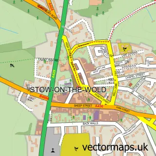
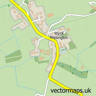
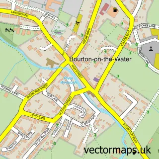
Nearby street map samples around Little Rissington

More street maps in Gloucestershire
750 metre map area coverage
Boundary, postcode and point of interest information for the 750m x 750m rectangle centred on this sample map.
Boundaries containing map centre
Constituency: North Cotswolds Co Const
County: Gloucestershire County
District: Cotswold District
Icb: NHS Gloucestershire ICB
Parish: Little Rissington CP
Police Force: gloucestershire
Postcode District: GL54
Postcode Sector: GL54 2
Ward: The Rissingtons Ward
Nearby boundaries intersecting sample
No additional intersecting boundaries found.
Postcode coverage
POI category counts
Anglican Church: 1
Bed And Breakfast: 1
Environmental Conservation Organization: 1
Freight And Cargo Service: 1
Hotel: 1
Medical Service Organizations: 1
Pet Groomer: 1
Roofing: 1
School: 1
Shoe Store: 1
Sample points of interest
- St Peter
- Touchstone B & B
- Eden
- Aspen Logistics
- Little Mullions Holiday Cottage
- Little Rissington Village Hall
- Greenfields Care Products
- The Cotswold Roof Company
- Countesthorpe Community college
- schuh
Create a larger editable map of Little Rissington
This sample shows only a 750 metre area. To create a larger map of Little Rissington, use our map builder to choose your own coverage area, add titles and download editable SVG, PDF and PNG files.
Create a custom map of Little Rissington