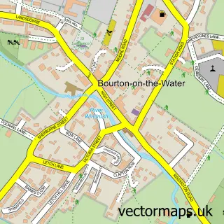
This Upper Rissington street map is a detailed vector street map covering a 750m x 750m area. Select a larger area to create and download your own vector street map of Upper Rissington.
The 750-metre map sample for Upper Rissington covers 210 mapped buildings and approximately 27.9 km of road detail, of which 20 named roads are named. The wider area around Upper Rissington features 2 tourism points of interest. To create a larger or custom map of Upper Rissington, the map builder lets you define your own coverage area and download editable SVG, PDF and PNG files.
Create a larger editable map of Upper Rissington
Choose any area you need and generate a high-quality vector map instantly. Perfect for print, planning, design, business and personal use.

This Upper Rissington street map in Gloucestershire is available as downloadable SVG, PDF and PNG map files, or as a printed map for planning, business, display, education, local information and design work. You can also create a larger custom map area using the map selector.
What this Upper Rissington map sample shows
Upper Rissington lies within Little Rissington Cp parish, part of The Rissingtons ward in the Cotswold District local authority area. The postcode geography for this area includes the GL postcode area, the GL54 postcode district and the GL54 2 postcode sector. Residents fall under the Nhs Gloucestershire Integrated Care Board for NHS services.
Local features near Upper Rissington
Within 2 milesAmenities and services in and around Upper Rissington.
Administrative and postcode information for Upper Rissington
Upper Rissington lies within Little Rissington Cp parish, part of The Rissingtons ward in the Cotswold District local authority area. The postcode geography for this area includes the GL postcode area, the GL54 postcode district and the GL54 2 postcode sector. Residents fall under the Nhs Gloucestershire Integrated Care Board for NHS services.
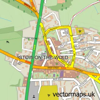
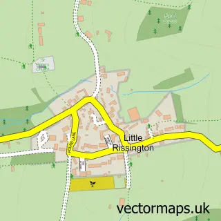
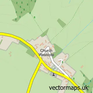
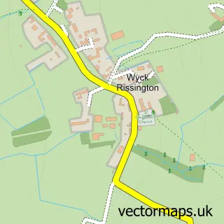
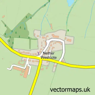
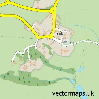
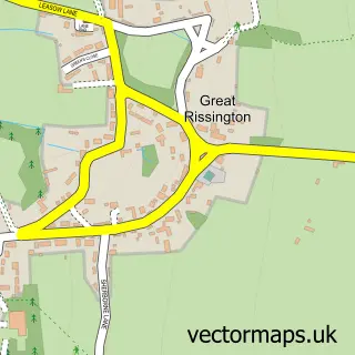
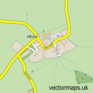
Nearby street map samples around Upper Rissington

More street maps in Gloucestershire
750 metre map area coverage
Boundary, postcode and point of interest information for the 750m x 750m rectangle centred on this sample map.
Boundaries containing map centre
Constituency: North Cotswolds Co Const
County: Gloucestershire County
District: Cotswold District
Icb: NHS Gloucestershire ICB
Parish: Upper Rissington CP
Police Force: gloucestershire
Postcode District: GL54
Postcode Sector: GL54 2
Ward: The Rissingtons Ward
Nearby boundaries intersecting sample
Parish: Little Rissington CP
Postcode coverage
POI category counts
Electrician: 3
Landmark And Historical Building: 2
Advertising Agency: 1
Antique Store: 1
Beauty Salon: 1
Business Consulting: 1
Community Services Non Profits: 1
Employment Agencies: 1
Financial Service: 1
First Aid Class: 1
Sample points of interest
- Ant Farm Marketing
- The Cotswold Reclamation Company
- Full Circle Hair Design
- D & H Management Consultants
- Upper Rissington Village Hall
- Cotswold Lighting Company
- P Wheeler Electrical
- P Wheeler Electrical Ltd
- K H Recruitment
- Aprikat Book Keeping
- Cotswold First Aid
- Co-op Food
Create a larger editable map of Upper Rissington
This sample shows only a 750 metre area. To create a larger map of Upper Rissington, use our map builder to choose your own coverage area, add titles and download editable SVG, PDF and PNG files.
Create a custom map of Upper Rissington