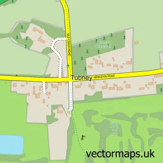
This Fyfield street map is a detailed vector street map covering a 750m x 750m area. Select a larger area to create and download your own vector street map of Fyfield.
The 750-metre map sample for Fyfield covers 103 mapped buildings and approximately 9.9 km of road detail, of which 4 named roads are named. The immediate area includes 2 pubs and 3 MOT stations within 2 miles. The wider area around Fyfield features 2 food and drink venues and 1 hotel. To create a larger or custom map of Fyfield, the map builder lets you define your own coverage area and download editable SVG, PDF and PNG files.
Create a larger editable map of Fyfield
Choose any area you need and generate a high-quality vector map instantly. Perfect for print, planning, design, business and personal use.

This Fyfield street map in Oxfordshire is available as downloadable SVG, PDF and PNG map files, or as a printed map for planning, business, display, education, local information and design work. You can also create a larger custom map area using the map selector.
What this Fyfield map sample shows
Fyfield lies within Fyfield And Tubney Cp parish, part of Thames ward in the Vale Of White Horse District local authority area. The postcode geography for this area includes the OX postcode area, the OX13 postcode district and the OX13 5 postcode sector. Residents fall under the Nhs Buckinghamshire, Oxfordshire And Berkshire West Integrated Care Board for NHS services.
Local features near Fyfield
Within 2 milesAmenities and services in and around Fyfield.
Administrative and postcode information for Fyfield
The local authority covering Fyfield is Vale Of White Horse District, within the county of Oxfordshire. The settlement lies within Thames ward and Fyfield And Tubney Cp civil parish. The OX13 postcode district and OX13 5 postcode sector serve the immediate area. NHS provision in the area is delivered through Oxford University Hospitals Nhs Foundation Trust.
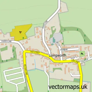
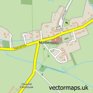
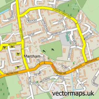
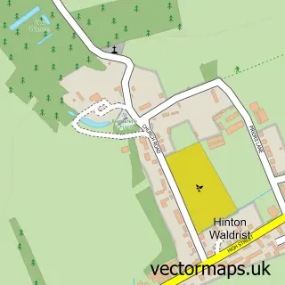
Nearby street map samples around Fyfield


More street maps in Oxfordshire
750 metre map area coverage
Boundary, postcode and point of interest information for the 750m x 750m rectangle centred on this sample map.
Boundaries containing map centre
Constituency: Witney Co Const
County: Oxfordshire County
District: Vale of White Horse District
Icb: NHS Thames Valley ICB
Parish: Fyfield and Tubney CP
Police Force: thames valley
Postcode District: OX13
Postcode Sector: OX13 5
Ward: Thames Ward
Nearby boundaries intersecting sample
No additional intersecting boundaries found.
Postcode coverage
POI category counts
Pub: 2
Agricultural Cooperatives: 1
Anglican Church: 1
Car Dealer: 1
Caterer: 1
Church Cathedral: 1
Computer Store: 1
Hotel: 1
It Service And Computer Repair: 1
Marketing Consultant: 1
Sample points of interest
- Orion Farming Group
- Fyfield: St Nicholas and Tubney: St Lawrence
- Charles Sydenham Vehicle Leasing
- Sandwich Express
- St Nicholas's Church
- Aegis Computers Ltd.
- The Old Library, Fyfield
- Confluent Marketing
- Confluent Marketing
- Better Birth Club
- Pyrotec Services
- The White Hart at Fyfield
Create a larger editable map of Fyfield
This sample shows only a 750 metre area. To create a larger map of Fyfield, use our map builder to choose your own coverage area, add titles and download editable SVG, PDF and PNG files.
Create a custom map of Fyfield