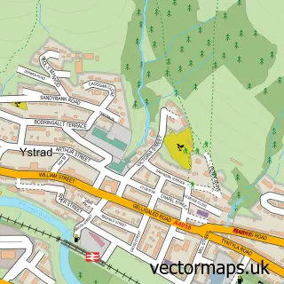
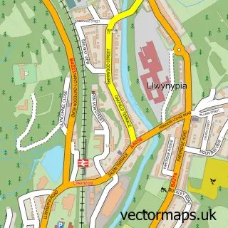
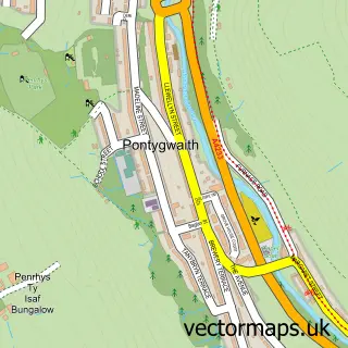
This Gelli street map is a detailed vector street map covering a 750m x 750m area. Select a larger area to create and download your own vector street map of Gelli.
The 750-metre map sample for Gelli covers 276 mapped buildings and approximately 20.1 km of road detail, of which 33 named roads are named. The immediate area includes 1 school, 2 GP surgeries within 2 miles, 2 pubs and 1 MOT station, with 13 within 2 miles. The wider area around Gelli features 2 food and drink venues. To create a larger or custom map of Gelli, the map builder lets you define your own coverage area and download editable SVG, PDF and PNG files.
Create a larger editable map of Gelli
Choose any area you need and generate a high-quality vector map instantly. Perfect for print, planning, design, business and personal use.

This Gelli street map in Mid Glamorgan is available as downloadable SVG, PDF and PNG map files, or as a printed map for planning, business, display, education, local information and design work. You can also create a larger custom map area using the map selector.
What this Gelli map sample shows
Gelli lies within Pentre Community parish, part of Pentre ward in the Rhondda Cynon Taf - Rhondda Cynon Taf local authority area. The postcode geography for this area includes the CF postcode area, the CF41 postcode district and the CF41 7 postcode sector. Residents fall under the Cwm Taf University Health Board for NHS services.
Local features near Gelli
Within 2 milesAmenities and services in and around Gelli.
Administrative and postcode information for Gelli
The local authority covering Gelli is Rhondda Cynon Taf - Rhondda Cynon Taf, within the county of Mid Glamorgan. The settlement lies within Pentre ward and Pentre Community civil parish. The CF41 postcode district and CF41 7 postcode sector serve the immediate area. NHS provision in the area is delivered through Cwm Taf Morgannwg University Health Board.
Nearby street map samples around Gelli

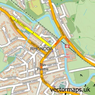
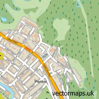
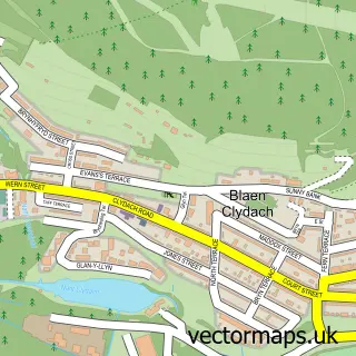
More street maps in Mid Glamorgan
750 metre map area coverage
Boundary, postcode and point of interest information for the 750m x 750m rectangle centred on this sample map.
Boundaries containing map centre
Constituency: Rhondda and Ogmore Co Const
District: Rhondda Cynon Taf - Rhondda Cynon Taf
Icb: Cwm Taf University
Parish: Ystrad Community
Police Force: south wales
Postcode District: CF41
Postcode Sector: CF41 7
Nearby boundaries intersecting sample
Parish: Pentre Community
Postcode coverage
POI category counts
Driving School: 3
Home Goods Store: 2
Pub: 2
Assisted Living Facility: 1
Bar: 1
Beauty And Spa: 1
Building Supply Store: 1
Car Dealer: 1
Chiropractor: 1
Church Cathedral: 1
Sample points of interest
- Nebo Sheltered Accommodation Complex
- Gelli & Ton Pentre Slimming World with Samuel at ‘The Hibbs’.
- Valley Aesthetics
- Proos Roofing Merchants Ltd
- Steve Jacka Motors
- Rhondda Injury Clinic
- Nebo, Ystrad Rhondda
- Post Office Travel Money
- Rhondda Osteopathic Clinic
- 1st Step School of Motoring
- Accelerate School of Motoring
- Driving School In Rhondda
Create a larger editable map of Gelli
This sample shows only a 750 metre area. To create a larger map of Gelli, use our map builder to choose your own coverage area, add titles and download editable SVG, PDF and PNG files.
Create a custom map of Gelli