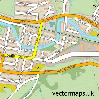
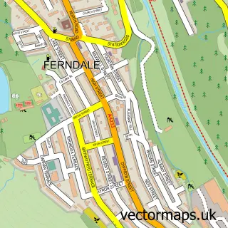
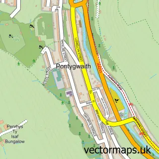
This Ystrad street map is a detailed vector street map covering a 750m x 750m area. Select a larger area to create and download your own vector street map of Ystrad.
The 750-metre map sample for Ystrad covers 289 mapped buildings and approximately 15.8 km of road detail, of which 30 named roads are named. The immediate area includes 2 schools, 1 railway station, 2 GP surgeries within 2 miles and 2 pubs among other local services. The wider area around Ystrad features 4 food and drink venues. To create a larger or custom map of Ystrad, the map builder lets you define your own coverage area and download editable SVG, PDF and PNG files.
Create a larger editable map of Ystrad
Choose any area you need and generate a high-quality vector map instantly. Perfect for print, planning, design, business and personal use.

This Ystrad street map in Mid Glamorgan is available as downloadable SVG, PDF and PNG map files, or as a printed map for planning, business, display, education, local information and design work. You can also create a larger custom map area using the map selector.
What this Ystrad map sample shows
Ystrad lies within Ystrad Community parish, part of Ystrad ward in the Rhondda Cynon Taf - Rhondda Cynon Taf local authority area. The postcode geography for this area includes the CF postcode area, the CF41 postcode district and the CF41 7 postcode sector. Residents fall under the Cwm Taf University Health Board for NHS services.
Local features near Ystrad
Within 2 milesAmenities and services in and around Ystrad.
Administrative and postcode information for Ystrad
Ystrad lies within Ystrad Community parish, part of Ystrad ward in the Rhondda Cynon Taf - Rhondda Cynon Taf local authority area. The postcode geography for this area includes the CF postcode area, the CF41 postcode district and the CF41 7 postcode sector. Residents fall under the Cwm Taf University Health Board for NHS services.
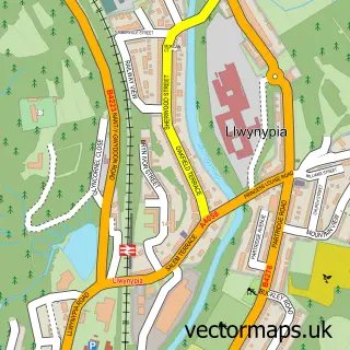
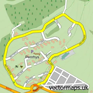
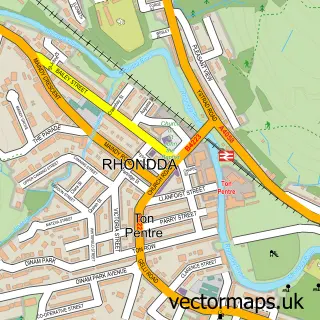
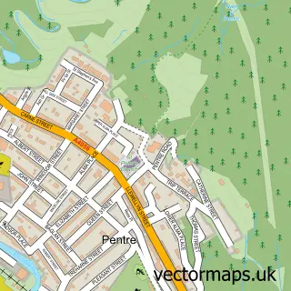
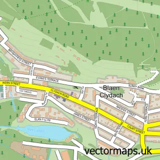
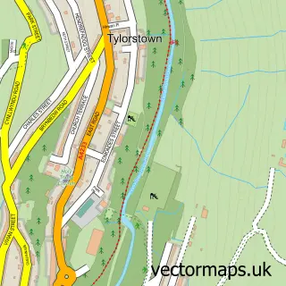
Nearby street map samples around Ystrad

More street maps in Mid Glamorgan
750 metre map area coverage
Boundary, postcode and point of interest information for the 750m x 750m rectangle centred on this sample map.
Boundaries containing map centre
Constituency: Rhondda and Ogmore Co Const
District: Rhondda Cynon Taf - Rhondda Cynon Taf
Icb: Cwm Taf University
Parish: Ystrad Community
Police Force: south wales
Postcode District: CF41
Postcode Sector: CF41 7
Nearby boundaries intersecting sample
No additional intersecting boundaries found.
Postcode coverage
POI category counts
Bar: 2
Beauty And Spa: 2
Church Cathedral: 2
Convenience Store: 2
Elementary School: 2
Energy Company: 2
Post Office: 2
Pub: 2
Retirement Home: 2
School: 2
Sample points of interest
- Caerphilly Airport
- Ystrad Rhondda Rugby Club
- Glyndwr Nursing Home
- Ystrad Food Store (Link DC)
- The Sober Habit
- Ystrad RFC Events
- Gems Fades Barber Shop Ystrad
- Hairport
- Nail Rehab
- Hair Kraft
- J's Hair Studio
- Eat 'n' Greet Cafe and Catering
Create a larger editable map of Ystrad
This sample shows only a 750 metre area. To create a larger map of Ystrad, use our map builder to choose your own coverage area, add titles and download editable SVG, PDF and PNG files.
Create a custom map of Ystrad