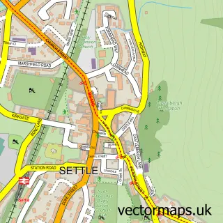
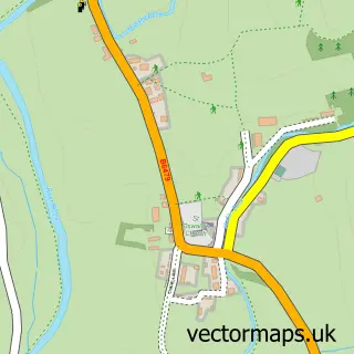
This Giggleswick street map is a detailed vector street map covering a 750m x 750m area. Select a larger area to create and download your own vector street map of Giggleswick.
The 750-metre map sample for Giggleswick covers 285 mapped buildings and approximately 14.8 km of road detail, of which 24 named roads are named. The immediate area includes 1 primary school and 1 secondary school, 1 GP surgery within 2 miles, 2 pubs and 3 MOT stations within 2 miles. The wider area around Giggleswick features 2 food and drink venues, 5 hotels and 1 campsite within 2 miles. To create a larger or custom map of Giggleswick, the map builder lets you define your own coverage area and download editable SVG, PDF and PNG files.
Create a larger editable map of Giggleswick
Choose any area you need and generate a high-quality vector map instantly. Perfect for print, planning, design, business and personal use.

This Giggleswick street map in North Yorkshire is available as downloadable SVG, PDF and PNG map files, or as a printed map for planning, business, display, education, local information and design work. You can also create a larger custom map area using the map selector.
What this Giggleswick map sample shows
Giggleswick lies within Settle Cp parish, part of Settle And Ribblebanks ward in the North Yorkshire local authority area. The postcode geography for this area includes the BD postcode area, the BD24 postcode district and the BD24 9 postcode sector. Residents fall under the Nhs West Yorkshire Integrated Care Board for NHS services.
Local features near Giggleswick
Within 2 milesAmenities and services in and around Giggleswick.
Administrative and postcode information for Giggleswick
Giggleswick lies within Settle Cp parish, part of Settle And Ribblebanks ward in the North Yorkshire local authority area. The postcode geography for this area includes the BD postcode area, the BD24 postcode district and the BD24 9 postcode sector. Residents fall under the Nhs West Yorkshire Integrated Care Board for NHS services.
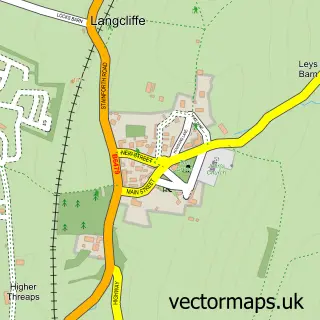
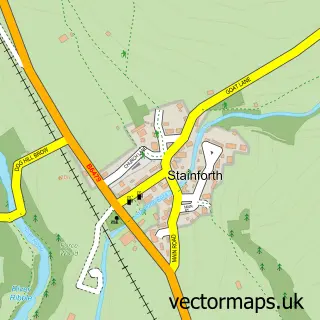
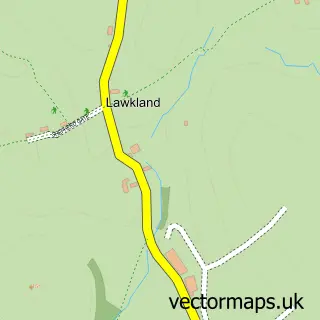
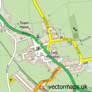
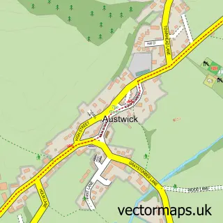
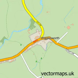
Nearby street map samples around Giggleswick

More street maps in North Yorkshire
750 metre map area coverage
Boundary, postcode and point of interest information for the 750m x 750m rectangle centred on this sample map.
Boundaries containing map centre
Constituency: Skipton and Ripon Co Const
District: North Yorkshire
Icb: NHS West Yorkshire ICB
Parish: Giggleswick CP
Police Force: north yorkshire
Postcode District: BD24
Postcode Sector: BD24 0
Nearby boundaries intersecting sample
Parish: Settle CP
Postcode Sector: BD24 9
Postcode coverage
POI category counts
Hotel: 5
Education: 2
Elementary School: 2
Funeral Services And Cemeteries: 2
Holiday Rental Home: 2
Package Locker: 2
Pub: 2
Active Life: 1
Anglican Church: 1
Automotive Repair: 1
Sample points of interest
- Giggleswick Gliders
- Giggleswick: St Alkelda's
- Kings Mill Garage
- Valleymead Guest House
- Memorial Bridge Giggleswick
- JSR Decorating Services
- Settle College
- Giggleswick Church
- All Things Coffee
- Settle College
- Settle College
- Giggleswick Primary School
Create a larger editable map of Giggleswick
This sample shows only a 750 metre area. To create a larger map of Giggleswick, use our map builder to choose your own coverage area, add titles and download editable SVG, PDF and PNG files.
Create a custom map of Giggleswick