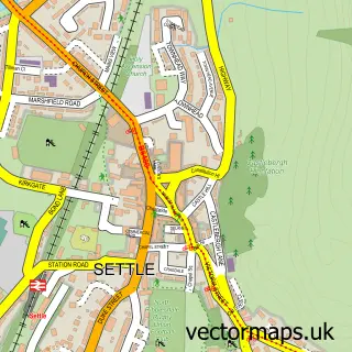
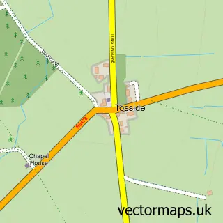
This Long Preston street map is a detailed vector street map covering a 750m x 750m area. Select a larger area to create and download your own vector street map of Long Preston.
The 750-metre map sample for Long Preston covers 201 mapped buildings and approximately 15.7 km of road detail, of which 18 named roads are named. The immediate area includes 1 school, 1 railway station, 2 pubs and 1 MOT station within 2 miles. The wider area around Long Preston features 1 tourism point of interest, 2 food and drink venues and 2 hotels. To create a larger or custom map of Long Preston, the map builder lets you define your own coverage area and download editable SVG, PDF and PNG files.
Create a larger editable map of Long Preston
Choose any area you need and generate a high-quality vector map instantly. Perfect for print, planning, design, business and personal use.

This Long Preston street map in North Yorkshire is available as downloadable SVG, PDF and PNG map files, or as a printed map for planning, business, display, education, local information and design work. You can also create a larger custom map area using the map selector.
What this Long Preston map sample shows
Long Preston lies within Long Preston Cp parish, part of Hellifield And Long Preston ward in the North Yorkshire local authority area. The postcode geography for this area includes the BD postcode area, the BD23 postcode district and the BD23 4 postcode sector. Residents fall under the Nhs West Yorkshire Integrated Care Board for NHS services.
Local features near Long Preston
Within 2 milesAmenities and services in and around Long Preston.
Administrative and postcode information for Long Preston
The local authority covering Long Preston is North Yorkshire, within the county of North Yorkshire. The settlement lies within Hellifield And Long Preston ward and Long Preston Cp civil parish. The BD23 postcode district and BD23 4 postcode sector serve the immediate area. NHS provision in the area is delivered through Airedale Nhs Foundation Trust.
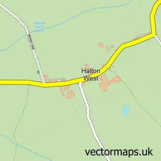
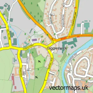
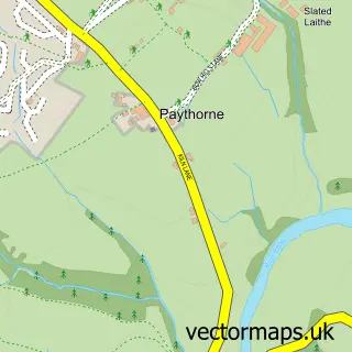
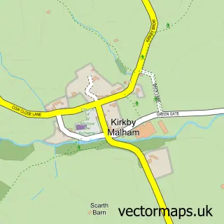
Nearby street map samples around Long Preston

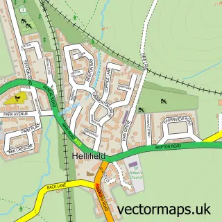
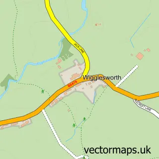
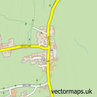
More street maps in North Yorkshire
750 metre map area coverage
Boundary, postcode and point of interest information for the 750m x 750m rectangle centred on this sample map.
Boundaries containing map centre
Constituency: Skipton and Ripon Co Const
District: North Yorkshire
Icb: NHS West Yorkshire ICB
Parish: Long Preston CP
Police Force: north yorkshire
Postcode District: BD23
Postcode Sector: BD23 4
Nearby boundaries intersecting sample
No additional intersecting boundaries found.
Postcode coverage
POI category counts
Clothing Store: 2
Contractor: 2
Elementary School: 2
Hotel: 2
Professional Services: 2
Pub: 2
Anglican Church: 1
Beauty Salon: 1
Building Supply Store: 1
Convenience Store: 1
Sample points of interest
- Long Preston: St Mary the Virgin
- Nails and Beauty by Alice
- M S & P G Foulds
- Aherne's of Hellifield
- Rohan
- Steve Lambert Construction
- Steve Lambert Construction Limited
- Post Office-Long Preston
- Post Office Travel Money
- Long Preston Playgroup
- Long Preston Primary School
- Long Preston School
Create a larger editable map of Long Preston
This sample shows only a 750 metre area. To create a larger map of Long Preston, use our map builder to choose your own coverage area, add titles and download editable SVG, PDF and PNG files.
Create a custom map of Long Preston