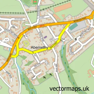
This Glenfarg street map is a detailed vector street map covering a 750m x 750m area. Select a larger area to create and download your own vector street map of Glenfarg.
The 750-metre map sample for Glenfarg covers 210 mapped buildings and approximately 19.8 km of road detail, of which 11 named roads are named. The immediate area includes 1 MOT station. The wider area around Glenfarg features 2 hotels. To create a larger or custom map of Glenfarg, the map builder lets you define your own coverage area and download editable SVG, PDF and PNG files.
Create a larger editable map of Glenfarg
Choose any area you need and generate a high-quality vector map instantly. Perfect for print, planning, design, business and personal use.

This Glenfarg street map in Perth and Kinross is available as downloadable SVG, PDF and PNG map files, or as a printed map for planning, business, display, education, local information and design work. You can also create a larger custom map area using the map selector.
What this Glenfarg map sample shows
Glenfarg lies within Perth And Kinross parish, part of Kinross-Shire ward in the Perth And Kinross local authority area. The postcode geography for this area includes the PH postcode area, the PH2 postcode district and the PH2 9 postcode sector. Residents fall under the Tayside for NHS services.
Local features near Glenfarg
Within 2 milesAmenities and services in and around Glenfarg.
Administrative and postcode information for Glenfarg
The local authority covering Glenfarg is Perth And Kinross, within the county of Perth And Kinross. The settlement lies within Kinross-Shire ward and Perth And Kinross civil parish. The PH2 postcode district and PH2 9 postcode sector serve the immediate area. NHS provision in the area is delivered through Tayside.
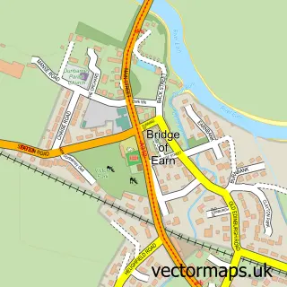
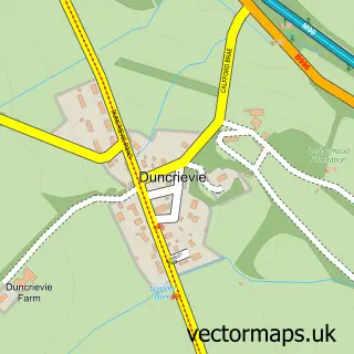
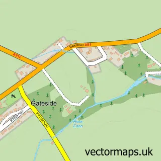
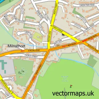
Nearby street map samples around Glenfarg

More street maps in Perth and Kinross
750 metre map area coverage
Boundary, postcode and point of interest information for the 750m x 750m rectangle centred on this sample map.
Boundaries containing map centre
Constituency: Perth and Kinross-shire Co Const
District: Perth and Kinross
Icb: Tayside
Postcode District: PH2
Postcode Sector: PH2 9
Ward: Kinross-shire Ward
Nearby boundaries intersecting sample
Ward: Almond and Earn Ward
Postcode coverage
POI category counts
Courier And Delivery Services: 2
Hotel: 2
Arts And Entertainment: 1
Automotive Repair: 1
Bed And Breakfast: 1
Dog Walkers: 1
Elementary School: 1
Financial Service: 1
Fitness Trainer: 1
Food Delivery Service: 1
Sample points of interest
- Glenfarg Village Hall
- Glenfarg Garage
- Glenfarg
- Evri ParcelShop
- Evri ParcelShop
- Oodles of Poodles
- Arngask Primary School
- IJC Bookkeeping & Payroll
- Earnside Coaches
- Tuktuk Thai Taste
- The Famous Bein Inn
- The Glenfarg Hotel
Create a larger editable map of Glenfarg
This sample shows only a 750 metre area. To create a larger map of Glenfarg, use our map builder to choose your own coverage area, add titles and download editable SVG, PDF and PNG files.
Create a custom map of Glenfarg