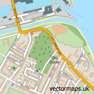
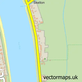
This Goole street map is a detailed vector street map covering a 750m x 750m area. Select a larger area to create and download your own vector street map of Goole.
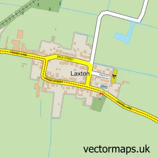
The 750-metre map sample for Goole covers 243 mapped buildings and approximately 19.6 km of road detail, of which 58 named roads are named. The immediate area includes 1 railway station, 2 GP surgeries within 2 miles, 13 pubs and 4 MOT stations, with 12 within 2 miles. The wider area around Goole features 4 tourism points of interest, 24 food and drink venues and 1 hotel. To create a larger or custom map of Goole, the map builder lets you define your own coverage area and download editable SVG, PDF and PNG files.
Create a larger editable map of Goole
Choose any area you need and generate a high-quality vector map instantly. Perfect for print, planning, design, business and personal use.

This Goole street map in East Riding of Yorkshire is available as downloadable SVG, PDF and PNG map files, or as a printed map for planning, business, display, education, local information and design work. You can also create a larger custom map area using the map selector.
What this Goole map sample shows
Goole lies within Goole Cp parish, part of Goole South ward in the East Riding Of Yorkshire local authority area. The postcode geography for this area includes the DN postcode area, the DN14 postcode district and the DN14 5 postcode sector. Residents fall under the Nhs Humber And North Yorkshire Integrated Care Board for NHS services.
Local features near Goole
Within 2 milesAmenities and services in and around Goole.
Administrative and postcode information for Goole
Goole lies within Goole Cp parish, part of Goole South ward in the East Riding Of Yorkshire local authority area. The postcode geography for this area includes the DN postcode area, the DN14 postcode district and the DN14 5 postcode sector. Residents fall under the Nhs Humber And North Yorkshire Integrated Care Board for NHS services.
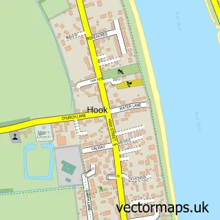
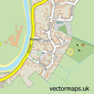
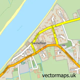
Nearby street map samples around Goole

More street maps in East Riding of Yorkshire
750 metre map area coverage
Boundary, postcode and point of interest information for the 750m x 750m rectangle centred on this sample map.
Boundaries containing map centre
Constituency: Goole and Pocklington Co Const
District: East Riding of Yorkshire
Icb: NHS Humber and North Yorkshire ICB
Parish: Goole CP
Police Force: humberside
Postcode District: DN14
Postcode Sector: DN14 5
Ward: Goole South Ward
Nearby boundaries intersecting sample
Postcode Sector: DN14 6
Ward: Goole North Ward
Postcode coverage
POI category counts
Beauty Salon: 22
Beauty And Spa: 14
Hair Salon: 13
Pub: 13
Professional Services: 10
Fast Food Restaurant: 8
Real Estate Agent: 8
Charity Organization: 7
Mobile Phone Store: 7
Tattoo And Piercing: 7
Sample points of interest
- Jones Cooper
- Rhombus Accounting
- Townends Chartered Accountants
- Green Dragon Karate Club
- JF & MJ Austwick Ltd - Straw
- Gotchs Electrical Store
- Iceland Supermarket Goole
- Salem’s Corner
- Creykes Lodge Care Home
- Cash machine 60 Boothferry Road
- De Cobains Electrical Appliance Rentals
- Mats Garage
Create a larger editable map of Goole
This sample shows only a 750 metre area. To create a larger map of Goole, use our map builder to choose your own coverage area, add titles and download editable SVG, PDF and PNG files.
Create a custom map of Goole