Vector Maps logo
Home Why it works Popular maps Districts Samples Customizer Create Your Map
VectorMaps.uk
Home Popular maps Districts Samples Customizer Create Your Map Privacy Disclaimer
Home / UK Maps / East Riding of Yorkshire / Hook Map

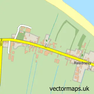
This Hook street map is a detailed vector street map covering a 750m x 750m area. Select a larger area to create and download your own vector street map of Hook.

Hook is a village in East Riding Of Yorkshire, in the Yorkshire And The Humber of England. Historically, the area formed part of Yorkshire. The settlement falls within the Brigg And Goole parliamentary constituency. It is served by the DN14 postcode distr

The 750-metre map sample for Hook covers 260 mapped buildings and approximately 7.5 km of road detail, of which 15 named roads are named. The immediate area includes 1 school, 3 GP surgeries within 2 miles, 2 pubs and 6 MOT stations within 2 miles. The wider area around Hook features 1 tourism point of interest and 2 food and drink venues. To create a larger or custom map of Hook, the map builder lets you define your own coverage area and download editable SVG, PDF and PNG files.

260Buildings
7.47 kmRoads
15Named roads
10,186Residents within 2 miles
Create your own

Create a larger editable map of Hook

Choose any area you need and generate a high-quality vector map instantly. Perfect for print, planning, design, business and personal use.

Choose any location
Editable SVG files
Any size up to A0
PDF, PNG & more
Instant download
High quality guaranteed
Create My Custom Map
Secure, private & no credit card required
Hook Vector Street Map
750m Sample
Hook vector street map sample showing roads, buildings and local features in a 750 metre preview area
Buy Hook Map Print from £12.95 Buy Hook Digital Map from £6

This Hook street map in East Riding of Yorkshire is available as downloadable SVG, PDF and PNG map files, or as a printed map for planning, business, display, education, local information and design work. You can also create a larger custom map area using the map selector.

What this Hook map sample shows

Hook lies within Hook Cp parish, part of Goole North ward in the East Riding Of Yorkshire local authority area. The postcode geography for this area includes the DN postcode area, the DN14 postcode district and the DN14 5 postcode sector. Residents fall under the Nhs Humber And North Yorkshire Integrated Care Board for NHS services.

Local features near Hook

Within 2 miles

Amenities and services in and around Hook.

1 Schools
3 GP surgeries within 2 miles
6 MOT stations within 2 miles
1 Tourism & leisure
2 Food & drink
2 Pubs

Counts are approximate and based on publicly available data.

Administrative and postcode information for Hook

Hook lies within Hook Cp parish, part of Goole North ward in the East Riding Of Yorkshire local authority area. The postcode geography for this area includes the DN postcode area, the DN14 postcode district and the DN14 5 postcode sector. Residents fall under the Nhs Humber And North Yorkshire Integrated Care Board for NHS services.

Parish Hook CP
Ward Goole North
District / local authority East Riding of Yorkshire
County East Riding of Yorkshire
Historic county Yorkshire
Postcode district DN14
Postcode sector DN14 5
Parliamentary constituency Brigg and Goole
Region Yorkshire and the Humber
Country England

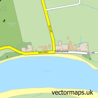
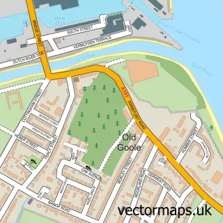
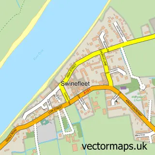
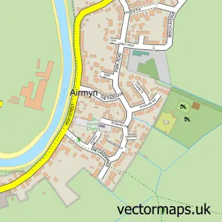
Nearby street map samples around Hook

Street map sample of Goole, East Riding of Yorkshire Goole Town - East Riding of Yorkshire - 1.6 miles Street map sample of Doncaster, South Yorkshire Doncaster City - South Yorkshire - 18.0 miles Street map sample of Skelton, East Riding of Yorkshire Skelton Village - East Riding of Yorkshire - 0.3 miles Street map sample of Howdendyke, East Riding of Yorkshire Howdendyke Village - East Riding of Yorkshire - 0.9 miles Street map sample of Laxton, East Riding of Yorkshire Laxton Village - East Riding of Yorkshire - 1.9 miles Street map sample of Saltmarshe, East Riding of Yorkshire Saltmarshe Village - East Riding of Yorkshire - 1.9 miles Street map sample of Old Goole, East Riding of Yorkshire Old Goole Village - East Riding of Yorkshire - 2.0 miles Street map sample of Swinefleet, East Riding of Yorkshire Swinefleet Village - East Riding of Yorkshire - 2.1 miles Street map sample of Airmyn, East Riding of Yorkshire Airmyn Village - East Riding of Yorkshire - 2.2 miles Street map sample of Reedness, East Riding of Yorkshire Reedness Village - East Riding of Yorkshire - 2.5 miles

More street maps in East Riding of Yorkshire

Street map sample of Skelton, East Riding of Yorkshire Skelton Village - 0.3 miles Street map sample of Howdendyke, East Riding of Yorkshire Howdendyke Village - 0.9 miles Street map sample of Goole, East Riding of Yorkshire Goole Town - 1.6 miles Street map sample of Laxton, East Riding of Yorkshire Laxton Village - 1.9 miles Street map sample of Saltmarshe, East Riding of Yorkshire Saltmarshe Village - 1.9 miles

750 metre map area coverage

Boundary, postcode and point of interest information for the 750m x 750m rectangle centred on this sample map.

Boundaries containing map centre

Constituency: Goole and Pocklington Co Const

District: East Riding of Yorkshire

Icb: NHS Humber and North Yorkshire ICB

Parish: Hook CP

Police Force: humberside

Postcode District: DN14

Postcode Sector: DN14 5

Ward: Goole North Ward

Nearby boundaries intersecting sample

Parish: Kilpin CP

Postcode Sector: DN14 7

Ward: Howdenshire Ward

Postcode coverage

DN14 DN14 5 DN14 7

POI category counts

Bakery: 2

Elementary School: 2

Pub: 2

Shipping Center: 2

Agriculture: 1

Anglican Church: 1

Beauty And Spa: 1

Beauty Salon: 1

Building Supply Store: 1

Convenience Store: 1

Sample points of interest

  • The Orchard Ethical Farm Agriculture
  • St Mary the Virgin Anglican Church
  • Mia’s Cookies Bakery
  • The Sweet Side of Hook Bakery
  • HOOK Studio Beauty And Spa
  • Lusso Beauty Beauty Salon
  • More Time UK Building Supply Store
  • Premier Hook Shop Convenience Store
  • Post Office Travel Money Currency Exchange
  • Daisychain Day Nursery Elementary School
  • Hook C of E Primary School Elementary School
  • The Orchard Therapy Animals Farm

Create a larger editable map of Hook

This sample shows only a 750 metre area. To create a larger map of Hook, use our map builder to choose your own coverage area, add titles and download editable SVG, PDF and PNG files.

Create a custom map of Hook

Phone 01751 473136 | Copyright Vectormaps.uk 2026

Samples Customizer Privacy Disclaimer
Hook Vector Street Map
Hook enlarged street map sample showing a 750 metre preview area