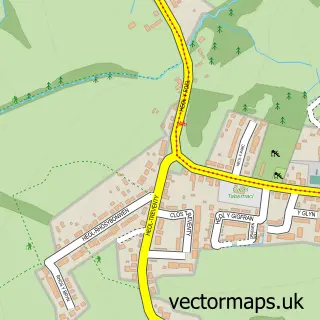
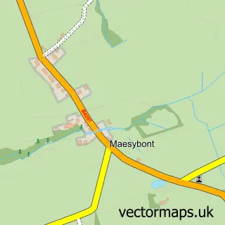
This Gorslas street map is a detailed vector street map covering a 750m x 750m area. Select a larger area to create and download your own vector street map of Gorslas.
The 750-metre map sample for Gorslas covers 288 mapped buildings and approximately 8.4 km of road detail, of which 11 named roads are named. The immediate area includes 1 school, 1 GP surgery within 2 miles, 2 pubs and 5 MOT stations within 2 miles. The wider area around Gorslas features 1 tourism point of interest and 2 food and drink venues. To create a larger or custom map of Gorslas, the map builder lets you define your own coverage area and download editable SVG, PDF and PNG files.
Create a larger editable map of Gorslas
Choose any area you need and generate a high-quality vector map instantly. Perfect for print, planning, design, business and personal use.

This Gorslas street map in Dyfed is available as downloadable SVG, PDF and PNG map files, or as a printed map for planning, business, display, education, local information and design work. You can also create a larger custom map area using the map selector.
What this Gorslas map sample shows
Gorslas lies within Gorslas Community parish, part of Gorslas ward in the Sir Gaerfyrddin - Carmarthenshire local authority area. The postcode geography for this area includes the SA postcode area, the SA14 postcode district and the SA14 6 postcode sector. Residents fall under the Hywel Dda University Health Board for NHS services.
Local features near Gorslas
Within 2 milesAmenities and services in and around Gorslas.
Administrative and postcode information for Gorslas
Gorslas lies within Gorslas Community parish, part of Gorslas ward in the Sir Gaerfyrddin - Carmarthenshire local authority area. The postcode geography for this area includes the SA postcode area, the SA14 postcode district and the SA14 6 postcode sector. Residents fall under the Hywel Dda University Health Board for NHS services.
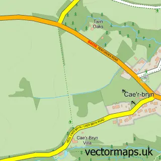
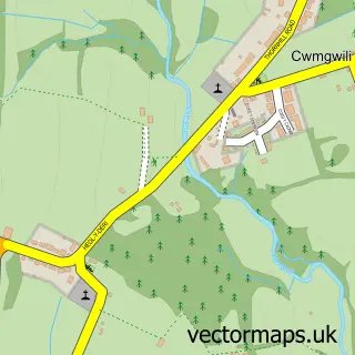
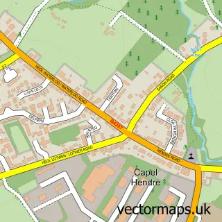
Nearby street map samples around Gorslas
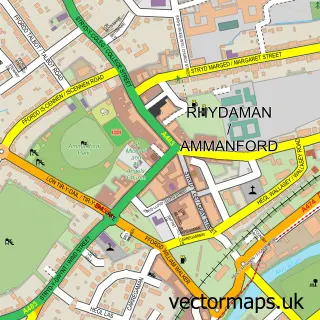

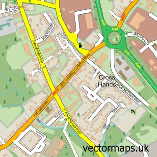
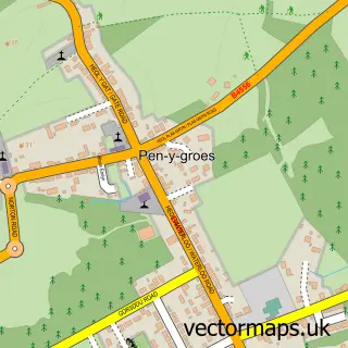
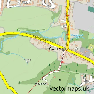
More street maps in Dyfed
750 metre map area coverage
Boundary, postcode and point of interest information for the 750m x 750m rectangle centred on this sample map.
Boundaries containing map centre
Constituency: Llanelli Co Const
District: Sir Gaerfyrddin - Carmarthenshire
Icb: Hywel Dda
Parish: Gorslas Community
Police Force: dyfed-powys
Postcode District: SA14
Postcode Sector: SA14 7
Nearby boundaries intersecting sample
Constituency: Caerfyrddin Co Const
Parish: Llandybie Community
Postcode Sector: SA14 6
Postcode coverage
POI category counts
Convenience Store: 3
Business: 2
Flowers And Gifts Shop: 2
Funeral Services And Cemeteries: 2
Pub: 2
Atms: 1
Auto Body Shop: 1
Beach Equipment Rentals: 1
Courier And Delivery Services: 1
Day Care Preschool: 1
Sample points of interest
- Todays Village Store - Gorslas, Gorslas
- Roger Rees Body Repairs
- Axis Leasing
- J Jones & Son Ltd
- KRC Chartered Accountants
- Londis
- Nisa Local The Village Store
- Nisa Today's
- Evri ParcelShop
- Golden Stars Childminding
- Spray Foam Wales
- Disys Technologies Ltd.
Create a larger editable map of Gorslas
This sample shows only a 750 metre area. To create a larger map of Gorslas, use our map builder to choose your own coverage area, add titles and download editable SVG, PDF and PNG files.
Create a custom map of Gorslas