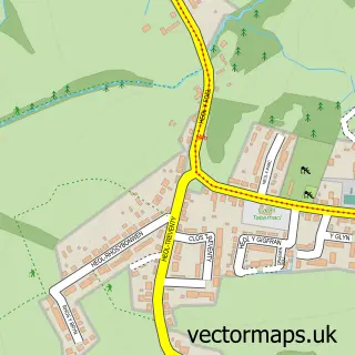
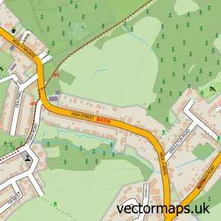
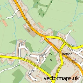
This Cwm-y-glo street map is a detailed vector street map covering a 750m x 750m area. Select a larger area to create and download your own vector street map of Cwm-y-glo.
The 750-metre map sample for Cwm-y-glo covers 189 mapped buildings and approximately 8.8 km of road detail, of which 11 named roads are named. The immediate area includes 1 school, 1 GP surgery within 2 miles and 9 MOT stations within 2 miles. To create a larger or custom map of Cwm-y-glo, the map builder lets you define your own coverage area and download editable SVG, PDF and PNG files.
Create a larger editable map of Cwm-y-glo
Choose any area you need and generate a high-quality vector map instantly. Perfect for print, planning, design, business and personal use.

This Cwm-y-glo street map in Dyfed is available as downloadable SVG, PDF and PNG map files, or as a printed map for planning, business, display, education, local information and design work. You can also create a larger custom map area using the map selector.
What this Cwm-y-glo map sample shows
Cwm-y-glo lies within Gorslas Community parish, part of Gorslas ward in the Sir Gaerfyrddin - Carmarthenshire local authority area. The postcode geography for this area includes the SA postcode area, the SA14 postcode district and the SA14 7 postcode sector. Residents fall under the Hywel Dda University Health Board for NHS services.
Local features near Cwm-y-glo
Within 2 milesAmenities and services in and around Cwm-y-glo.
Administrative and postcode information for Cwm-y-glo
The local authority covering Cwm-y-glo is Sir Gaerfyrddin - Carmarthenshire, within the county of Dyfed. The settlement lies within Gorslas ward and Gorslas Community civil parish. The SA14 postcode district and SA14 7 postcode sector serve the immediate area. NHS provision in the area is delivered through Hywel Dda University Health Board.
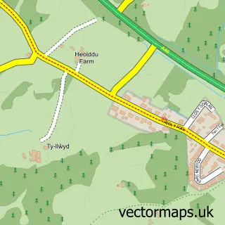
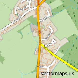
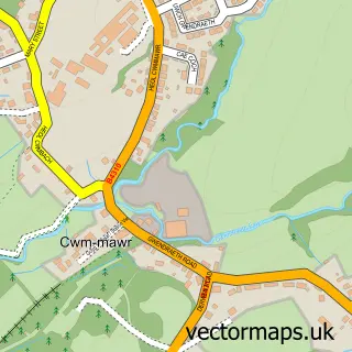
Nearby street map samples around Cwm-y-glo

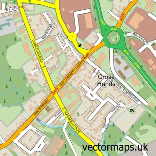
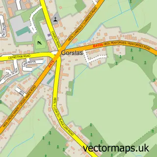
More street maps in Dyfed
750 metre map area coverage
Boundary, postcode and point of interest information for the 750m x 750m rectangle centred on this sample map.
Boundaries containing map centre
Constituency: Llanelli Co Const
District: Sir Gaerfyrddin - Carmarthenshire
Icb: Hywel Dda
Parish: Gorslas Community
Police Force: dyfed-powys
Postcode District: SA14
Postcode Sector: SA14 6
Nearby boundaries intersecting sample
Parish: Llannon Community
Postcode Sector: SA14 7
Postcode coverage
POI category counts
Car Wash: 1
Contractor: 1
Flowers And Gifts Shop: 1
Life Coach: 1
Pet Groomer: 1
Post Office: 1
Sports Club And League: 1
Sample points of interest
- Dial a Dog Wash Carmarthenshire
- Rees Installations
- Welsh Slate & Gift Boutique
- Clear Conscience Counselling
- Dial A Dog Wash
- Cefneithin Post Office & Stores
- Cefneithin Rugby Football Club
Create a larger editable map of Cwm-y-glo
This sample shows only a 750 metre area. To create a larger map of Cwm-y-glo, use our map builder to choose your own coverage area, add titles and download editable SVG, PDF and PNG files.
Create a custom map of Cwm-y-glo