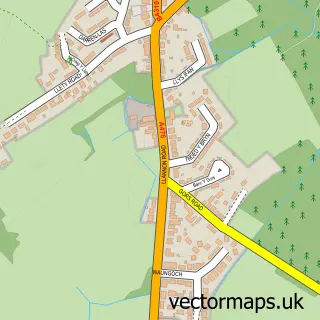
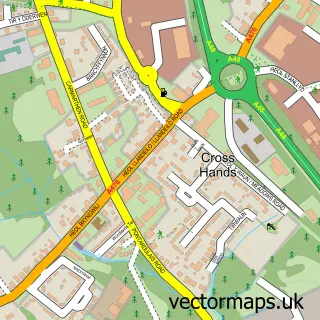
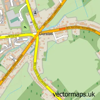
This Y Tymbl / Tumble street map is a detailed vector street map covering a 750m x 750m area. Select a larger area to create and download your own vector street map of Y Tymbl / Tumble.
The 750-metre map sample for Y Tymbl / Tumble covers 262 mapped buildings and approximately 7.6 km of road detail, of which 11 named roads are named. The immediate area includes 1 school, 1 GP surgery within 2 miles and 8 MOT stations within 2 miles. The wider area around Y Tymbl / Tumble features 3 tourism points of interest and 1 food and drink venue. To create a larger or custom map of Y Tymbl / Tumble, the map builder lets you define your own coverage area and download editable SVG, PDF and PNG files.
Create a larger editable map of Y Tymbl / Tumble
Choose any area you need and generate a high-quality vector map instantly. Perfect for print, planning, design, business and personal use.

This Y Tymbl / Tumble street map in Dyfed is available as downloadable SVG, PDF and PNG map files, or as a printed map for planning, business, display, education, local information and design work. You can also create a larger custom map area using the map selector.
What this Y Tymbl / Tumble map sample shows
Y Tymbl / Tumble lies within Llannon Community parish, part of Llannon ward in the Sir Gaerfyrddin - Carmarthenshire local authority area. The postcode geography for this area includes the SA postcode area, the SA14 postcode district and the SA14 6 postcode sector. Residents fall under the Hywel Dda University Health Board for NHS services.
Local features near Y Tymbl / Tumble
Within 2 milesAmenities and services in and around Y Tymbl / Tumble.
Administrative and postcode information for Y Tymbl / Tumble
The local authority covering Y Tymbl / Tumble is Sir Gaerfyrddin - Carmarthenshire, within the county of Dyfed. The settlement lies within Llannon ward and Llannon Community civil parish. The SA14 postcode district and SA14 6 postcode sector serve the immediate area. NHS provision in the area is delivered through Hywel Dda University Health Board.
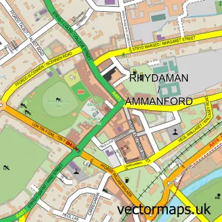
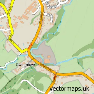
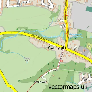
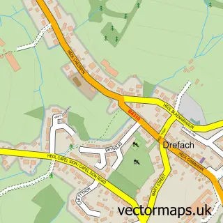
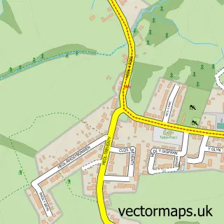
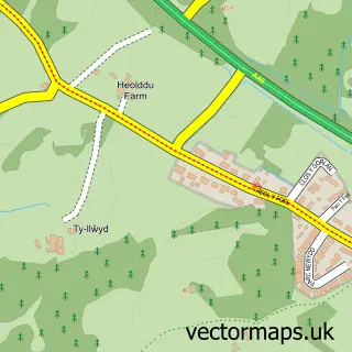
Nearby street map samples around Y Tymbl / Tumble

More street maps in Dyfed
750 metre map area coverage
Boundary, postcode and point of interest information for the 750m x 750m rectangle centred on this sample map.
Boundaries containing map centre
Constituency: Llanelli Co Const
District: Sir Gaerfyrddin - Carmarthenshire
Icb: Hywel Dda
Parish: Llannon Community
Police Force: dyfed-powys
Postcode District: SA14
Postcode Sector: SA14 6
Nearby boundaries intersecting sample
No additional intersecting boundaries found.
Postcode coverage
POI category counts
Banks: 3
Fast Food Restaurant: 2
Park: 2
Veterinarian: 2
Arts And Crafts: 1
Automotive: 1
Beauty And Spa: 1
Beauty Salon: 1
Building Supply Store: 1
Butcher Shop: 1
Sample points of interest
- Creative Edge
- O.S.T Bodyworx
- Banking Hub
- HSBC Bank
- Lloyds Bank
- Gwallt gan Sara
- Prydferth Beauty Salon
- Atkins Building Contractors
- Mynydd Mawr Fresh Meats
- Henleys of Tumble
- Tumble Family Centre
- Huang Dynasty
Create a larger editable map of Y Tymbl / Tumble
This sample shows only a 750 metre area. To create a larger map of Y Tymbl / Tumble, use our map builder to choose your own coverage area, add titles and download editable SVG, PDF and PNG files.
Create a custom map of Y Tymbl / Tumble