Vector Maps logo
Home Why it works Popular maps Districts Samples Customizer Create Your Map
VectorMaps.uk
Home Popular maps Districts Samples Customizer Create Your Map Privacy Disclaimer
Home / UK Maps / North Yorkshire / Grassington Map

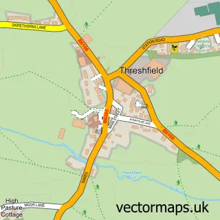
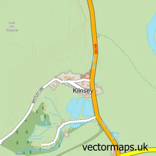
This Grassington street map is a detailed vector street map covering a 750m x 750m area. Select a larger area to create and download your own vector street map of Grassington.

Grassington is a town in North Yorkshire, in the Yorkshire And The Humber of England. Historically, the area formed part of Yorkshire. The settlement falls within the Skipton And Ripon parliamentary constituency. It is served by the BD23 postcode district

The 750-metre map sample for Grassington covers 313 mapped buildings and approximately 20.9 km of road detail, of which 40 named roads are named. The immediate area includes 1 school, 4 pubs and 1 MOT station. The wider area around Grassington features 3 tourism points of interest, 14 food and drink venues and 10 hotels. To create a larger or custom map of Grassington, the map builder lets you define your own coverage area and download editable SVG, PDF and PNG files.

313Buildings
20.89 kmRoads
40Named roads
1,212Residents within 2 miles
Create your own

Create a larger editable map of Grassington

Choose any area you need and generate a high-quality vector map instantly. Perfect for print, planning, design, business and personal use.

Choose any location
Editable SVG files
Any size up to A0
PDF, PNG & more
Instant download
High quality guaranteed
Create My Custom Map
Secure, private & no credit card required
Grassington Vector Street Map
750m Sample
Grassington vector street map sample showing roads, buildings and local features in a 750 metre preview area
Buy Grassington Map Print from £12.95 Buy Grassington Digital Map from £6

This Grassington street map in North Yorkshire is available as downloadable SVG, PDF and PNG map files, or as a printed map for planning, business, display, education, local information and design work. You can also create a larger custom map area using the map selector.

What this Grassington map sample shows

Grassington lies within Grassington Cp parish, part of Grassington ward in the North Yorkshire local authority area. The postcode geography for this area includes the BD postcode area, the BD23 postcode district and the BD23 5 postcode sector. Residents fall under the Nhs West Yorkshire Integrated Care Board for NHS services.

Local features near Grassington

Within 2 miles

Amenities and services in and around Grassington.

1 Schools
2 Campsites within 2 miles
1 MOT stations 1 within 2 miles
3 Tourism & leisure
14 Food & drink
4 Pubs
10 Hotels
3 Healthcare POIs
1 Vehicle services

Counts are approximate and based on publicly available data.

Administrative and postcode information for Grassington

The local authority covering Grassington is North Yorkshire, within the county of North Yorkshire. The settlement lies within Grassington ward and Grassington Cp civil parish. The BD23 postcode district and BD23 5 postcode sector serve the immediate area. NHS provision in the area is delivered through Airedale Nhs Foundation Trust.

Parish Grassington CP
Ward Grassington
District / local authority North Yorkshire
County North Yorkshire
Historic county Yorkshire
Postcode district BD23
Postcode sector BD23 5
Parliamentary constituency Skipton and Ripon
Region Yorkshire and the Humber
Country England

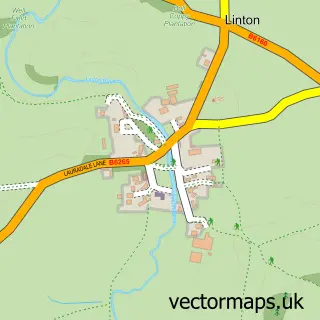
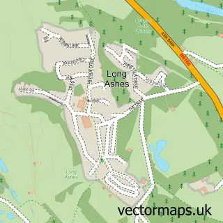
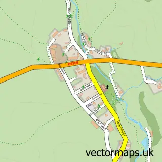
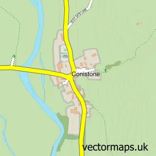
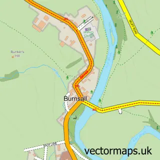
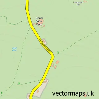
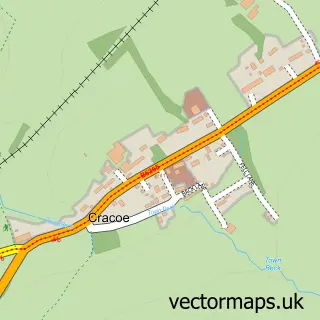
Nearby street map samples around Grassington

Street map sample of Ripon, North Yorkshire Ripon City - North Yorkshire - 19.7 miles Street map sample of Threshfield, North Yorkshire Threshfield Village - North Yorkshire - 0.8 miles Street map sample of Linton, North Yorkshire Linton Village - North Yorkshire - 0.9 miles Street map sample of Long Ashes Park, North Yorkshire Long Ashes Park Village - North Yorkshire - 1.5 miles Street map sample of Hebden, North Yorkshire Hebden Village - North Yorkshire - 1.5 miles Street map sample of Conistone, North Yorkshire Conistone Village - North Yorkshire - 2.5 miles Street map sample of Burnsall, North Yorkshire Burnsall Village - North Yorkshire - 2.5 miles Street map sample of Hartlington, North Yorkshire Hartlington Village - North Yorkshire - 2.6 miles Street map sample of Cracoe, North Yorkshire Cracoe Village - North Yorkshire - 2.9 miles Street map sample of Kilnsey, North Yorkshire Kilnsey Village - North Yorkshire - 3.0 miles

More street maps in North Yorkshire

Street map sample of Threshfield, North Yorkshire Threshfield Village - 0.8 miles Street map sample of Linton, North Yorkshire Linton Village - 0.9 miles Street map sample of Long Ashes Park, North Yorkshire Long Ashes Park Village - 1.5 miles Street map sample of Hebden, North Yorkshire Hebden Village - 1.5 miles Street map sample of Conistone, North Yorkshire Conistone Village - 2.5 miles

750 metre map area coverage

Boundary, postcode and point of interest information for the 750m x 750m rectangle centred on this sample map.

Boundaries containing map centre

Constituency: Skipton and Ripon Co Const

District: North Yorkshire

Icb: NHS West Yorkshire ICB

Parish: Grassington CP

Police Force: north yorkshire

Postcode District: BD23

Postcode Sector: BD23 5

Nearby boundaries intersecting sample

No additional intersecting boundaries found.

Postcode coverage

BD23 BD23 5

POI category counts

Hotel: 10

Bed And Breakfast: 5

Cafe: 5

Flowers And Gifts Shop: 4

Pub: 4

Art Gallery: 3

Cabin: 3

Clothing Store: 3

Cottage: 3

Holiday Rental Home: 3

Sample points of interest

  • Manifest Marketing Advertising Agency
  • Grassington Ambulance Station Ambulance And Ems Services
  • The English Polisher Antique Store
  • Emmy Turner Illustration Art Gallery
  • The Courtyard Pottery Art Gallery
  • The Wishbone Gallery Art Gallery
  • Craft Shop Arts And Crafts
  • Spinning Jenny Arts And Crafts
  • Rozi's Tandoori House Asian Restaurant
  • Barclays ATM Atms
  • MMC Grassington Automotive Repair
  • Croquembouche Bakery

Create a larger editable map of Grassington

This sample shows only a 750 metre area. To create a larger map of Grassington, use our map builder to choose your own coverage area, add titles and download editable SVG, PDF and PNG files.

Create a custom map of Grassington

Phone 01751 473136 | Copyright Vectormaps.uk 2026

Samples Customizer Privacy Disclaimer
Grassington Vector Street Map
Grassington enlarged street map sample showing a 750 metre preview area