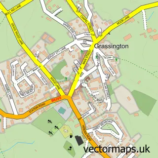
This Threshfield street map is a detailed vector street map covering a 750m x 750m area. Select a larger area to create and download your own vector street map of Threshfield.
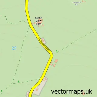
The 750-metre map sample for Threshfield covers 93 mapped buildings and approximately 12.8 km of road detail, of which 11 named roads are named. The immediate area includes 1 school, 1 pub and 1 MOT station within 2 miles. The wider area around Threshfield features 2 food and drink venues, 1 hotel and 2 campsites within 2 miles. To create a larger or custom map of Threshfield, the map builder lets you define your own coverage area and download editable SVG, PDF and PNG files.
Create a larger editable map of Threshfield
Choose any area you need and generate a high-quality vector map instantly. Perfect for print, planning, design, business and personal use.

This Threshfield street map in North Yorkshire is available as downloadable SVG, PDF and PNG map files, or as a printed map for planning, business, display, education, local information and design work. You can also create a larger custom map area using the map selector.
What this Threshfield map sample shows
Threshfield lies within Threshfield Cp parish, part of Upper Wharfedale ward in the North Yorkshire local authority area. The postcode geography for this area includes the BD postcode area, the BD23 postcode district and the BD23 5 postcode sector. Residents fall under the Nhs West Yorkshire Integrated Care Board for NHS services.
Local features near Threshfield
Within 2 milesAmenities and services in and around Threshfield.
Administrative and postcode information for Threshfield
Threshfield lies within Threshfield Cp parish, part of Upper Wharfedale ward in the North Yorkshire local authority area. The postcode geography for this area includes the BD postcode area, the BD23 postcode district and the BD23 5 postcode sector. Residents fall under the Nhs West Yorkshire Integrated Care Board for NHS services.
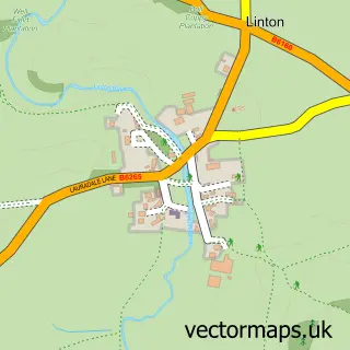
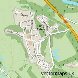
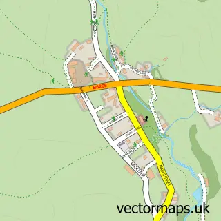
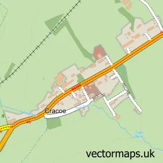
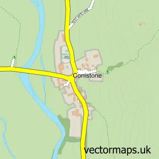
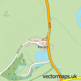
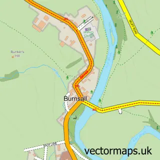
Nearby street map samples around Threshfield

More street maps in North Yorkshire
750 metre map area coverage
Boundary, postcode and point of interest information for the 750m x 750m rectangle centred on this sample map.
Boundaries containing map centre
Constituency: Skipton and Ripon Co Const
District: North Yorkshire
Icb: NHS West Yorkshire ICB
Parish: Threshfield CP
Police Force: north yorkshire
Postcode District: BD23
Postcode Sector: BD23 5
Nearby boundaries intersecting sample
Parish: Linton CP
Postcode coverage
POI category counts
Gas Station: 3
Convenience Store: 2
Bed And Breakfast: 1
Butcher Shop: 1
Cafe: 1
Hotel: 1
Nursing School: 1
Professional Services: 1
Pub: 1
Shipping Center: 1
Sample points of interest
- Bridge House B & B
- H. Weatherhead and Sons Threshfield.
- Cafe Robso
- SPAR Threshfield
- Spar
- Shell
- TEXACO Station
- Texaco
- Threshfield, Old Hall Inn
- Barchester - Threshfield Court Care Centre
- Paj Design Solutions
- The Old Hall Inn
Create a larger editable map of Threshfield
This sample shows only a 750 metre area. To create a larger map of Threshfield, use our map builder to choose your own coverage area, add titles and download editable SVG, PDF and PNG files.
Create a custom map of Threshfield